|
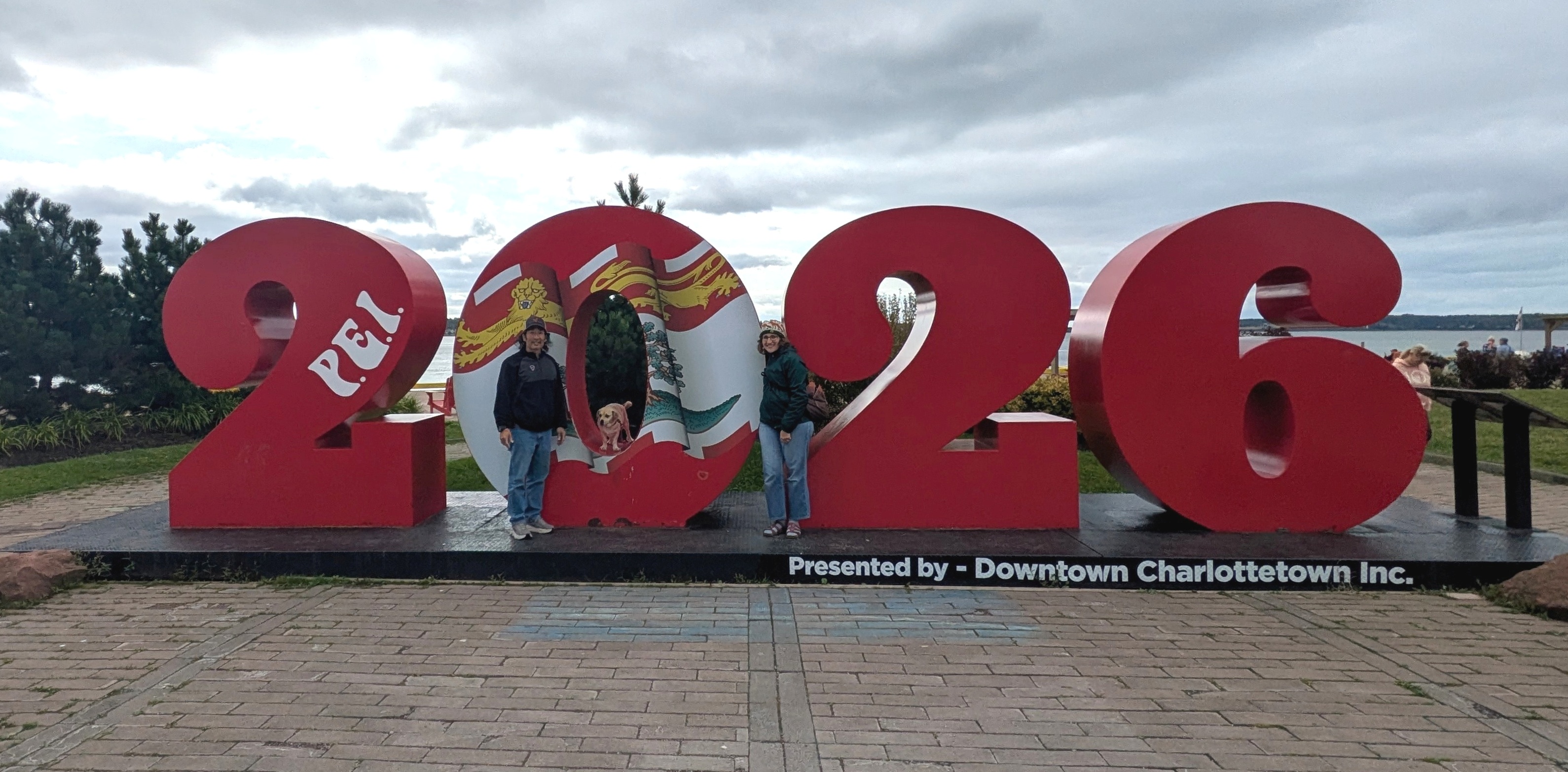
This page is about a summer vacation trip that Norma organized for Daphne and me over September 4-14, 2026. |

|
This page is about a summer vacation trip that Norma organized for Daphne and me over September 4-14, 2026. |
|
The three of us left in the afternoon. Most of the drive went smoothly, but we did hit a good bit of traffic in New York City. That was no surprise. We drove all night and crossed the border into Canada the next morning. No issues.
Some of the first things we noticed were signs in both English and French that displayed metric measurements. We stopped in New Brunswick at Tim Hortons, a famous Canadian fast food restaurant.  |
|
It was cool and cloudy, feeling more like late autumn than late summer. We drove into Saint Andrews.
We paid a visit to Saint Andrews Blockhouse National Historic Site. It was built by townspeople to protect them against American privateers and military during the War of 1812. 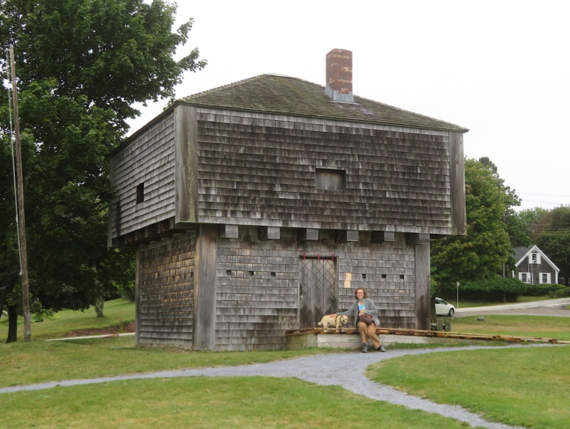
Just south of the blockhouse, we ventured out and explored the rocky shoreline and peninsula. I was hoping to find some interesting life in the tidepools but found none. Daphne enjoyed sniffing around and rolling in the sand. 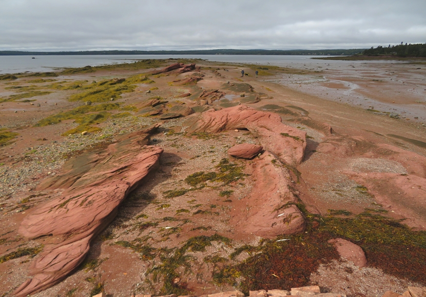
At a neighboring house, we saw a tree packed with hundreds of yellow apples. The three of us walked across the street to Centennial Park where we saw a lot more apples and tasted one. In town, we had lunch at Seasons by the Sea Bistro which overlooked Saint Andrews Harbour. I had the fish and chips. It was a nice cut of fish but not much flavor. I rarely squeeze lemon juice on my fish or use tartar sauce but in this case I did both. |
|
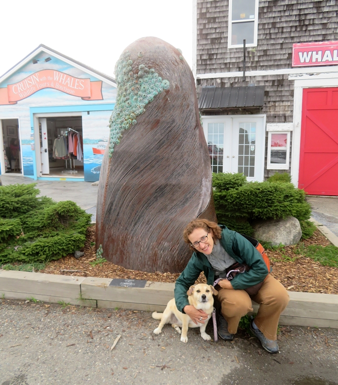
Near the Bistro was the start of our first big adventure...the whale watching tour. Crusin' with the Whales led this excursion that took Norma, Daphne, and me out into deeper waters to look for marine mammals. Appropriately, in front of their building was a sculpture titled "The Breach" depicting a whale surfacing.
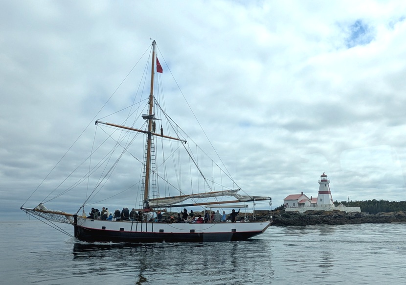
On the way to boarding our ship, we saw the Jolly Breeze, a tall ship built in New Zealand that took whale watching passengers out for a different tour company. 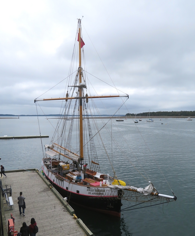
Out on the water, we saw several minke whales. These small, lean whales are not as buoyant as many other whales so when they dive, they don't need to lift their tails in the air. That was unfortunate for us because that is always an impressive sight. 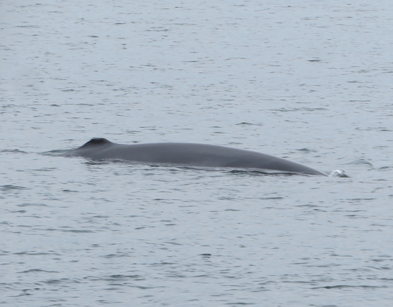
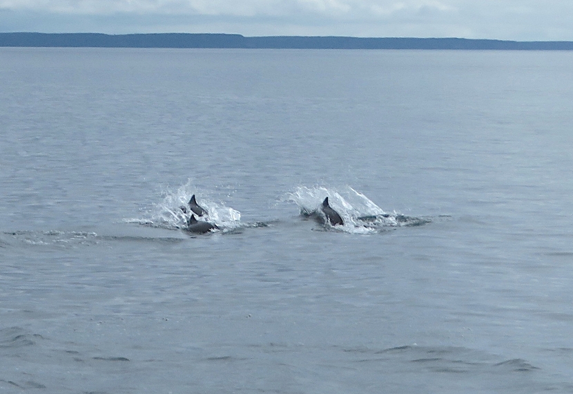
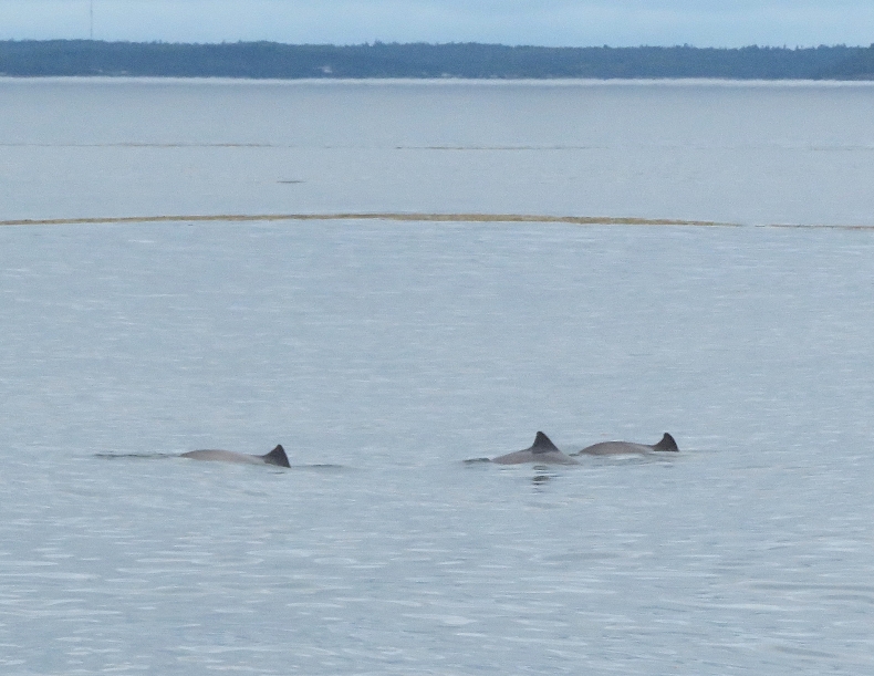
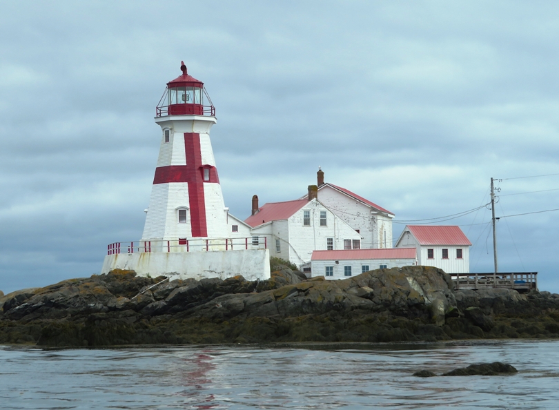
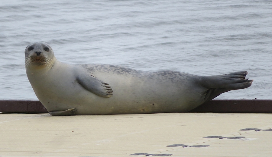
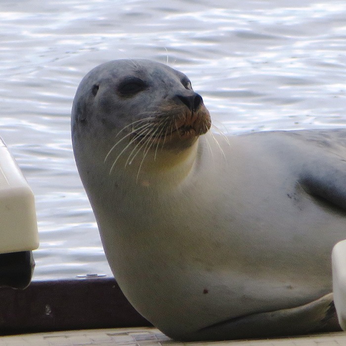
We also saw some pods of porpoises. Our boat passed the 1829 Head Harbour Lighthouse (also known as East Quoddy Head Light), located on a tidal islet off the northern tip of Campobello Island. Daphne was adored during the whale watching tour. Interestingly, she didn't seem at all interested in the whales, porpoises, or seals. She's used to getting a much closer view of wildlife via SUP. Near Campobello Island, we saw various harbor seals. 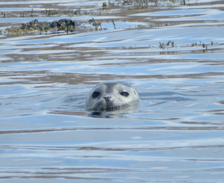
The natural flow of the tidal waters created a bit of a whirlpool. It wasn't dangerous for our boat but I wouldn't have wanted to be out there in a kayak. Click on the below image to start a video. 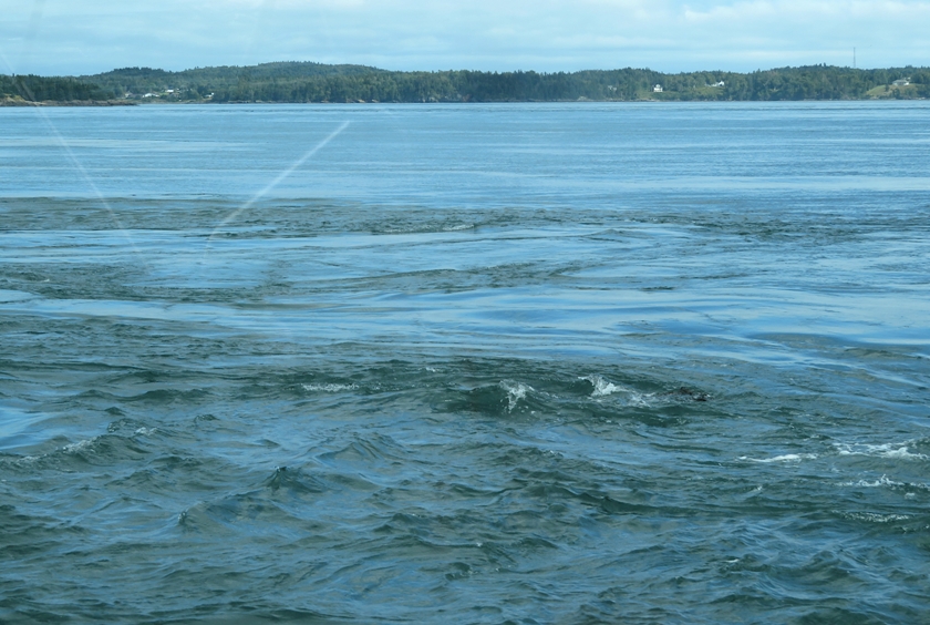
Back in town, we purchased a new leash for Daphne at the Crocker Hill Store. This is a great place to purchase dog accessories. |
|
We drove to the town of Saint John and checked into the 1858 Historic Homeport B&B house. It had lots of character but it did need some work, along with several other homes in the neighborhood. The houses here were mostly wood...not a lot of siding or brick. We had a nice view of the town from high up.
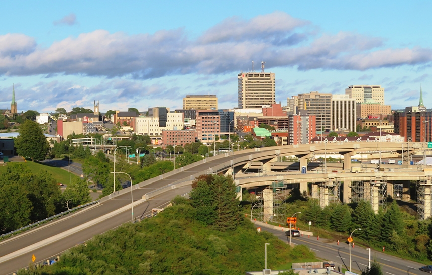
Here's a shot of the Saint John River. 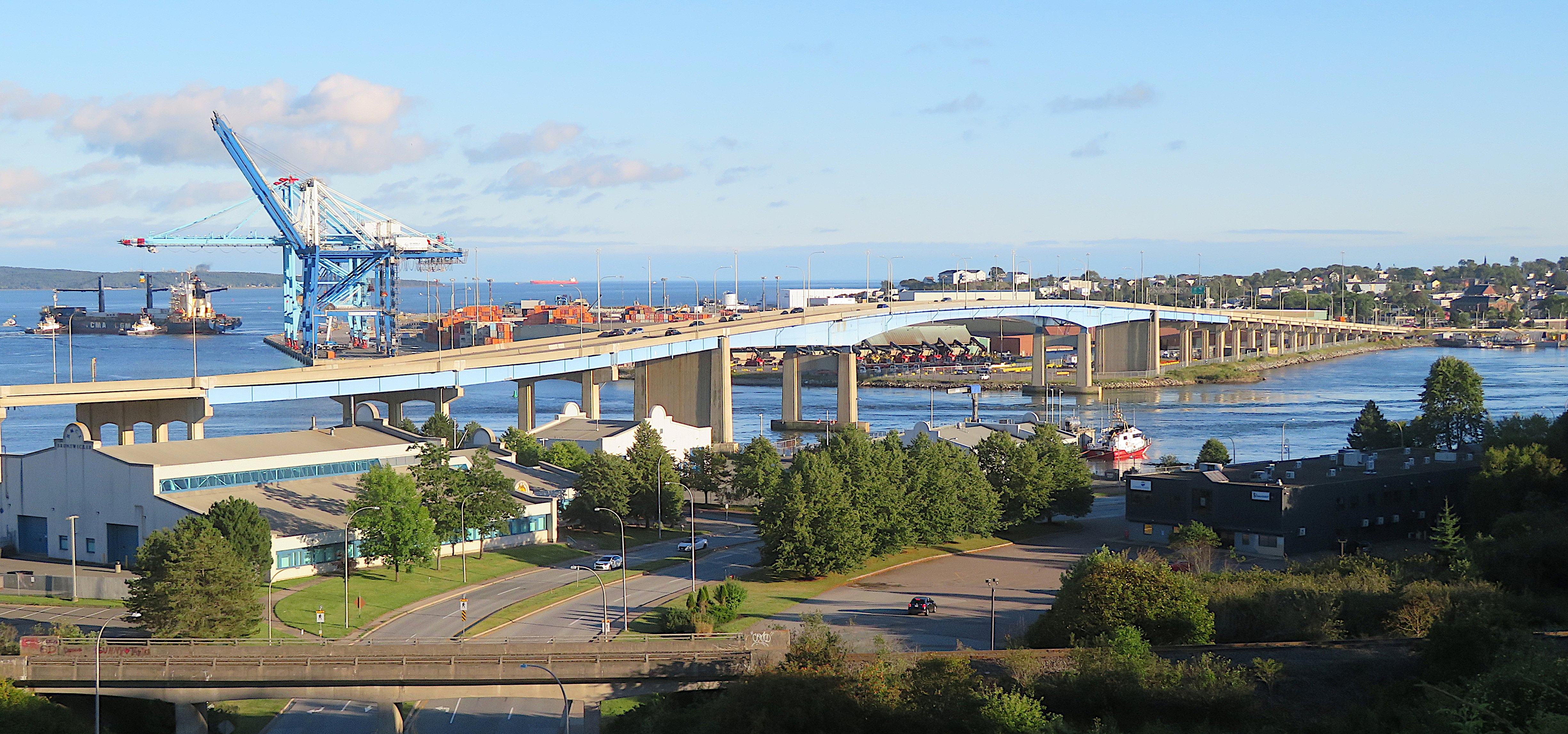
After unpacking, we walked into the downtown area via the Harbour Passage Trail. We had dinner at the Lemongrass & Peppers Pub. I had the pad thai which I found too spicy. The waterfront area in Saint John seemed very upscale and welcoming. There was a lot to see and do, including a public live music performance. |
|
Norma and I had a nice breakfast at the B&B. We observed how the dining area had tall baseboards, premium crown molding, etc. We enjoyed chatting with the other guests. One of them said great things about Gros Morne National Park.
Near my car, I saw a buck. 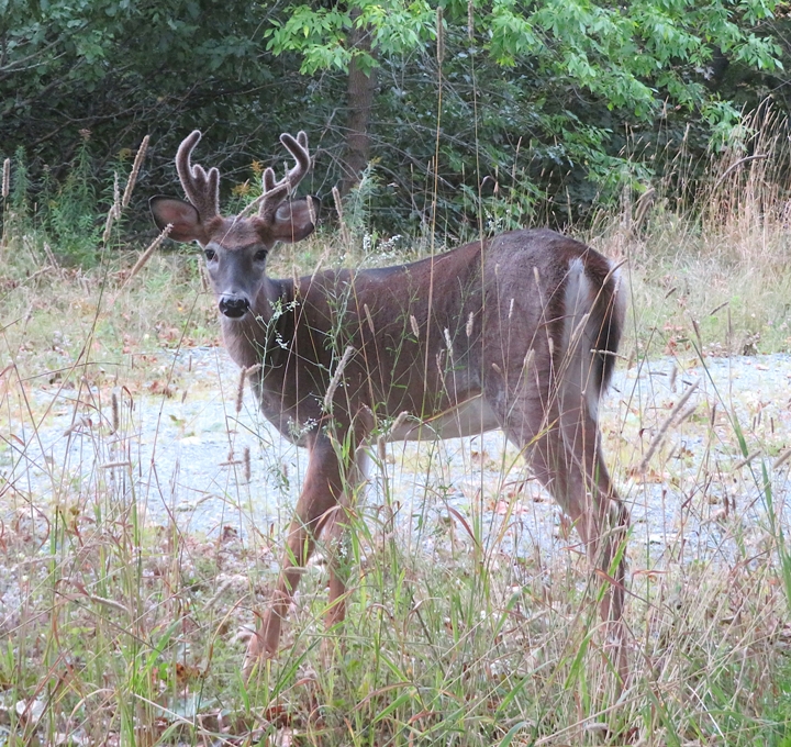
Our next stop was Reversing Falls on the Saint John River. At the right time, this supposedly could be quite a sight to see with all the water rushing through a relatively narrow passage during peak tidal change. But we missed it so there was nothing interesting to see. 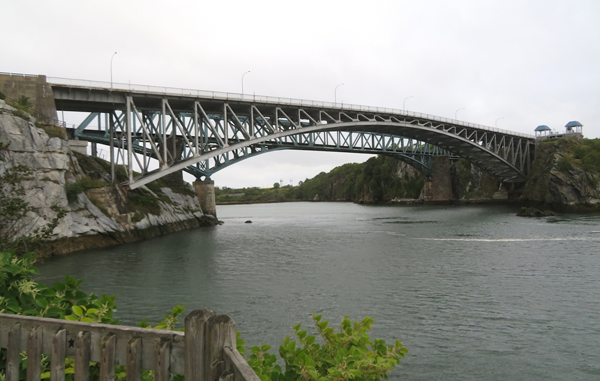
|
|
Norma loves a good market so we made a stop at the Saint John City Market.
At this dog-friendly venue, Daphne was adored. A smaller dog went bezerk when she saw Daphne, but Daphne remained calm. I later learned that this particular smaller dog has a reputation for barking at other dogs. 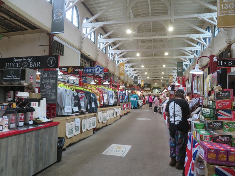
|
|
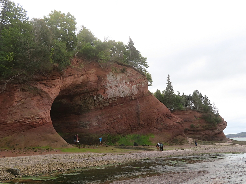
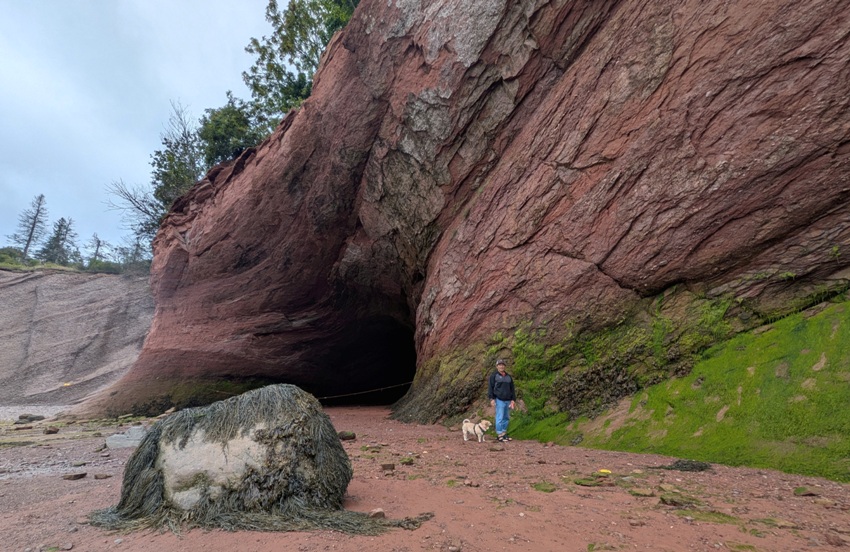
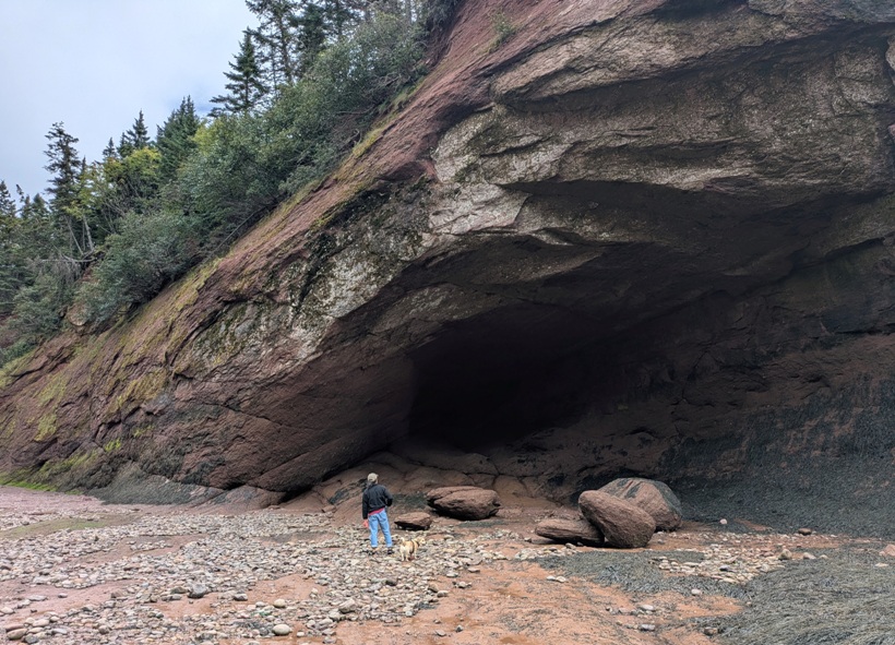
Near the town of Saint Martins, we stopped to explore the Sea Caves. These sandstone caves are carved by the Bay of Fundy tides so we had to time our visit with the low tide.
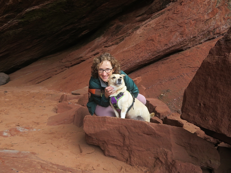
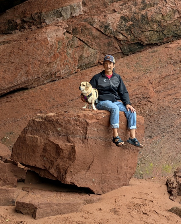
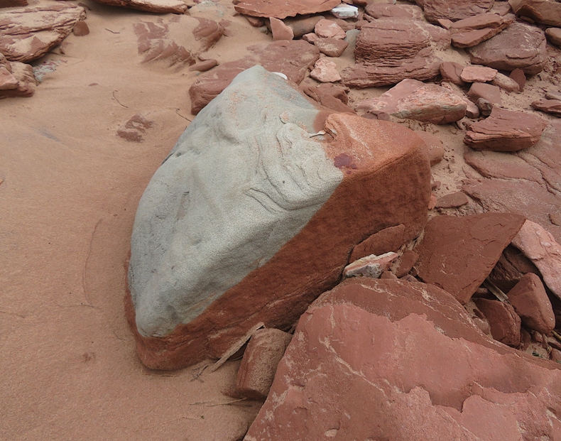
The red rocks made a nice setting for some close-ups. Much of this area is underwater at high tide so certain areas are ripe with vegetation. 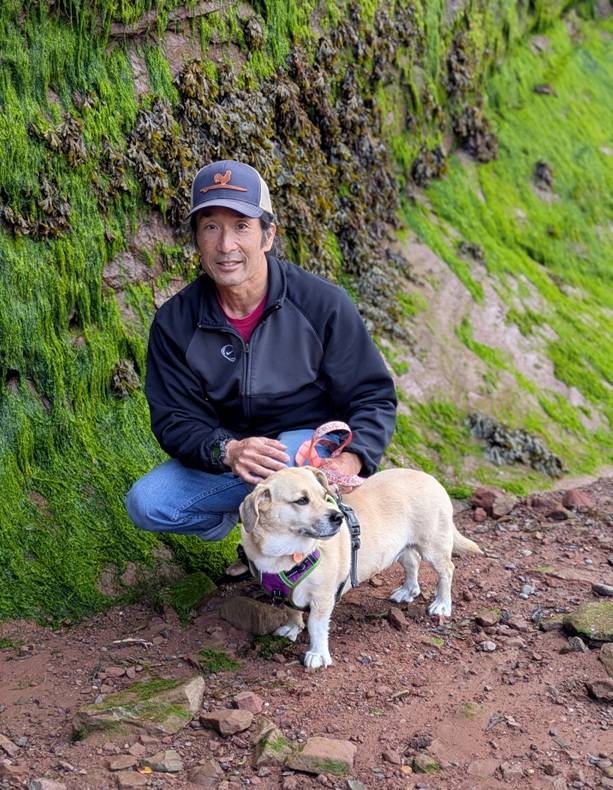
At our turnaround point, we saw a big sandy area with a rope leading up a steep cliff. This is for the folks that get stranded at high tide. We made sure to head back long before that. |
|
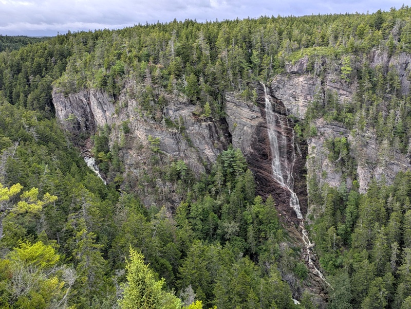
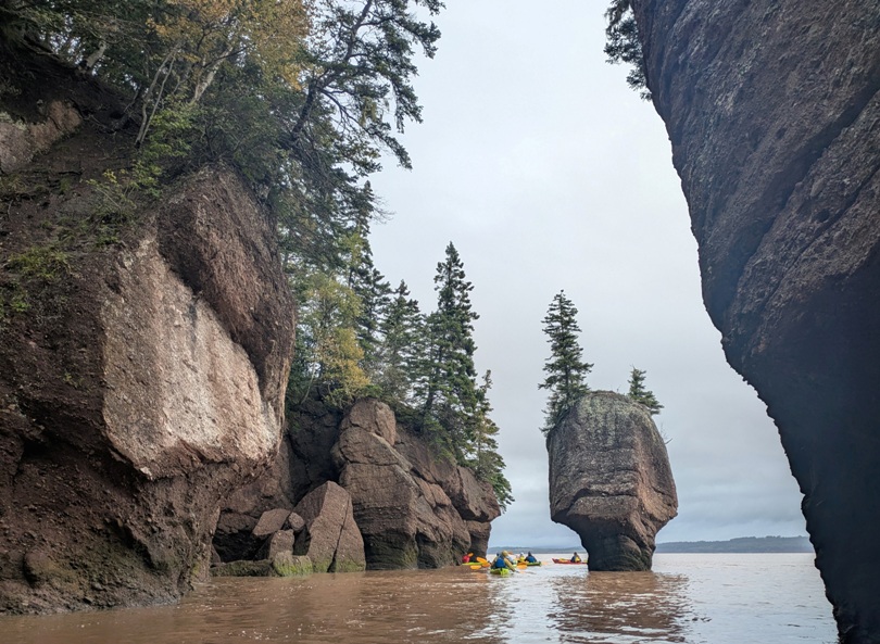
Continuing our drive northeast, we stopped at various sections of Fundy Trail Provincial Park. We made a brief stop at the Flowerpot Rock Overlook where we had a nice view of the cliffs and a beach.
The scenic parkway on which we drove reminded us a bit of Skyline Drive in Shenandoah National Park because it is so scenic. Fuller Falls
Long Beach
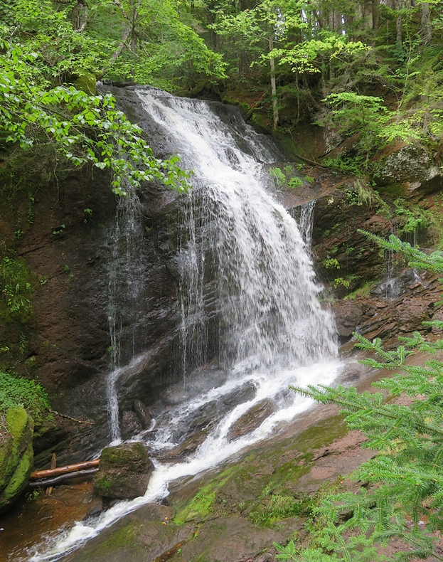
Walton Glen Falls
|
|
We considered car camping at a farm that Norma had read about, but the weather called for rain so we stayed at the Pine Cone Motel which was owned by an older couple from Korea. The problem with car camping is that we haven't figured out how to easily move and rearrange things so that our gear stays dry outside while we sleep in the car. There just isn't enough room for both us and our equipment.
During much of the first half of our trip, there was very little sun and it tended to be colder than what I like. The Korean Canadian woman also felt where they live could stand to be warmer. That night, we watched a show about the Inuits. Subtitles were in Inuktitut which looked very distinctive with some of its characters shaped like triangles. |
|
After a nice breakfast at the Pine Cone Motel, we drove southeast to Alma and stopped briefly at the Fundy National Park Visitor Center.
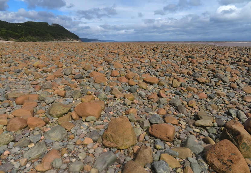
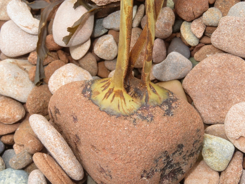
We ate lunch at Octopus's Garden. It took a long time to get our food but if we had to wait, that was a good place to hang out. Heading east along the rainy coast, we stopped to do some exploring at Cape Enrage. The first thing I noticed were all the flat, rounded rocks on the beach. This seemed like a haven for finding good skimming stones. 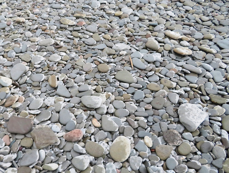
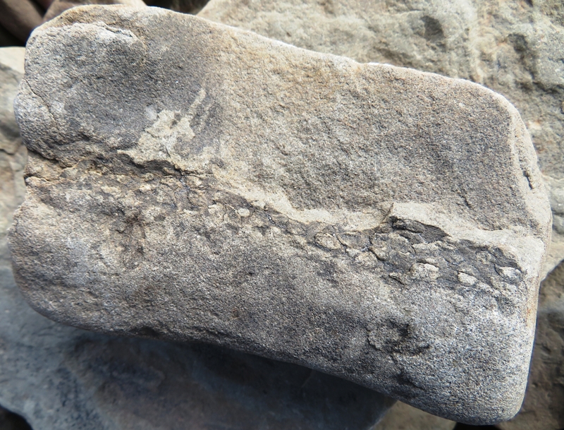
We climbed on the big rocks on the west side, looking for wildlife and fossils. We saw very little diversity in bird life during our trip: seagulls, cormorants, crows, and one bald eagle. But we did find some fossils. Pictured below is what I believe to be a calamite. The fossils at Cape Enrage are contained in the layers of sedimentary rock from the Upper Carboniferous period approximately 320 million years old. There is an abundance of plant trunk fossils that have been created by being washed downstream and trapped along the river channels in 'log jam-ups' along the sides of large river channels. A diverse flora exists at the Cape Enrage site, with lowland plants, including beautifully preserved giant horsetail-like trees called Calamites. - from Geology and Fossils of Cape Enrage 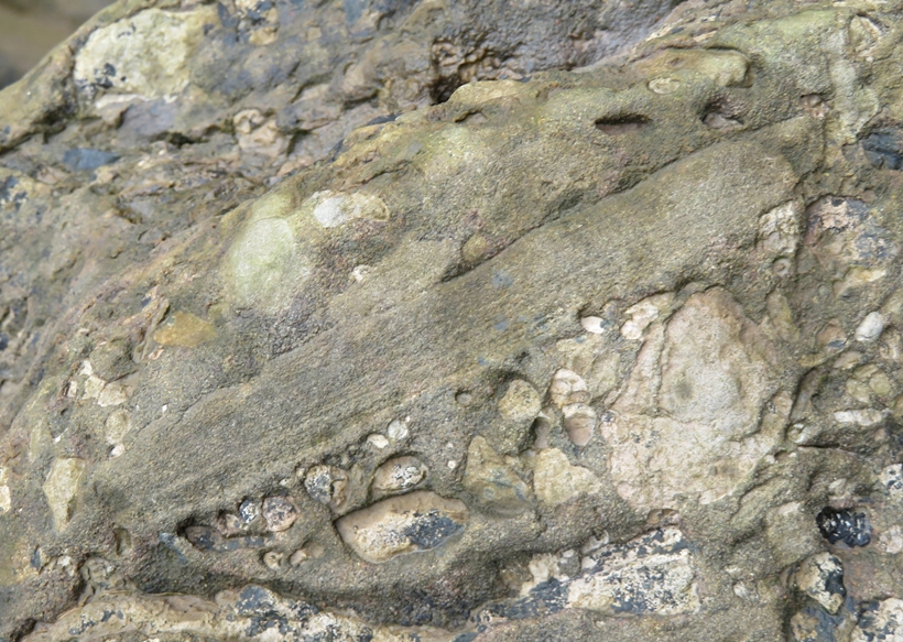
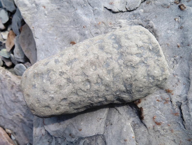
I also found what I believe to be a slickenside which is a smoothly polished surface caused by frictional movement between rocks along a fault. This surface is typically striated with linear features, called slickenlines, in the direction of movement. - from Wikipedia - Slickenside 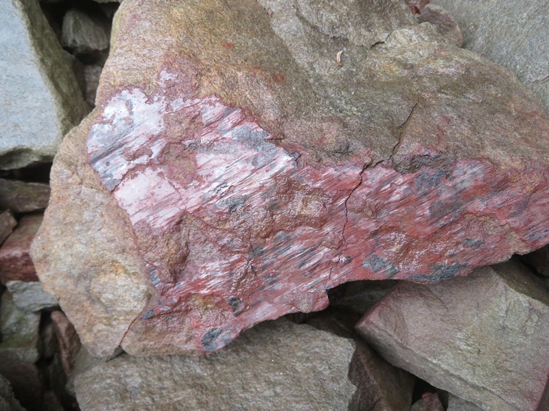
The water was low, exposing a lot of seaweed. 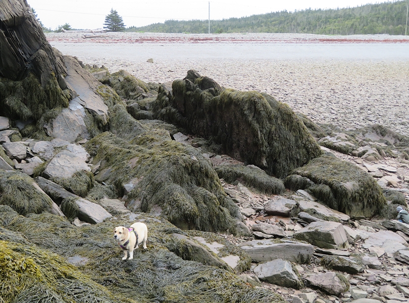
Closer to the parking lot, we saw a lot of dead mackerel. Not sure what their story was. |
|
We drove north to visit the popular Hopewell Rocks Provincial Park which is known for its unusual rock formations.
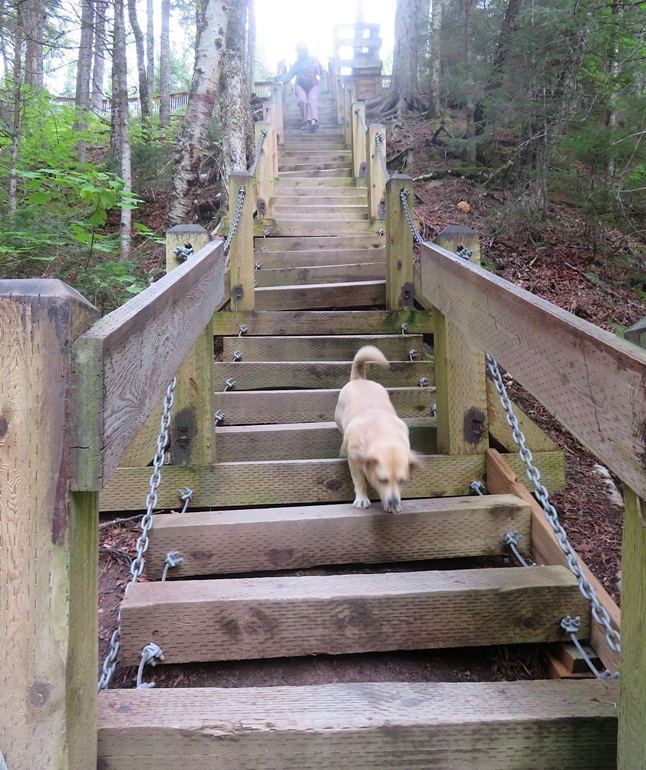
The Bay of Fundy tidal bore sweeps up-stream twice a day and can vary from a few centimetres to a meter in height depending on weather conditions and the phase of the moon. At high tide the water rises by 14 meters (46 feet), and at low tide recedes by over 200 meters (220 yards). Over thousands of years these grand tides have shaped the coastline of New Brunswick, creating the iconic Hopewell Rocks, also referred to as the "flowerpots." - from Audley Travel - Visit Hopewell Rocks, Canada So what is a tidal bore? A tidal bore is a tumbling wavefront which moves upstream in a river, announcing the arrival of an incoming tide. - from sign in Truro titled "What is a tidal bore?" The weather went from dark and cloudy to dark, cloudy, and rainy. We walked down to the shoreline on a gravel trail followed by a huge steel staircase. Loyal Daphne followed along, looking rather miserable. 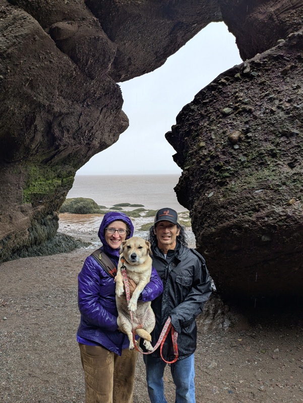
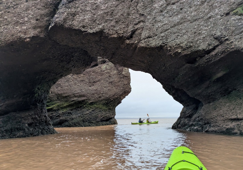
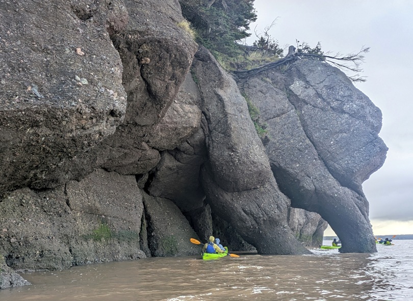
Rocks formations included some carved tunnels. 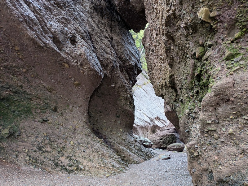
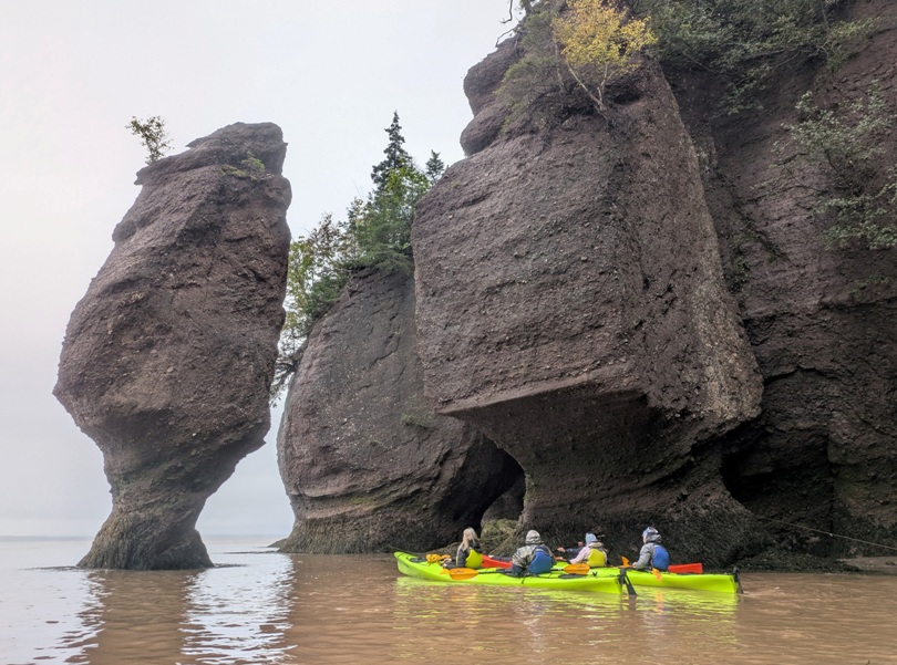
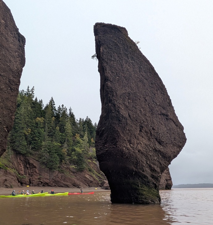
There were also numerous sea stacks which are a coastal geological landform consisting of a steep and often vertical column or columns of rock in the sea near a coast, formed by wave erosion. Stacks are formed over time by wind and water, processes of coastal geomorphology. - from Wikipedia - Stack (geology) 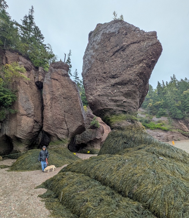
Here's Daphne, me, and a lot of other people in front of carved tunnels and sea stacks. 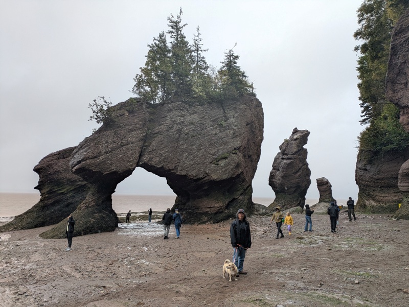
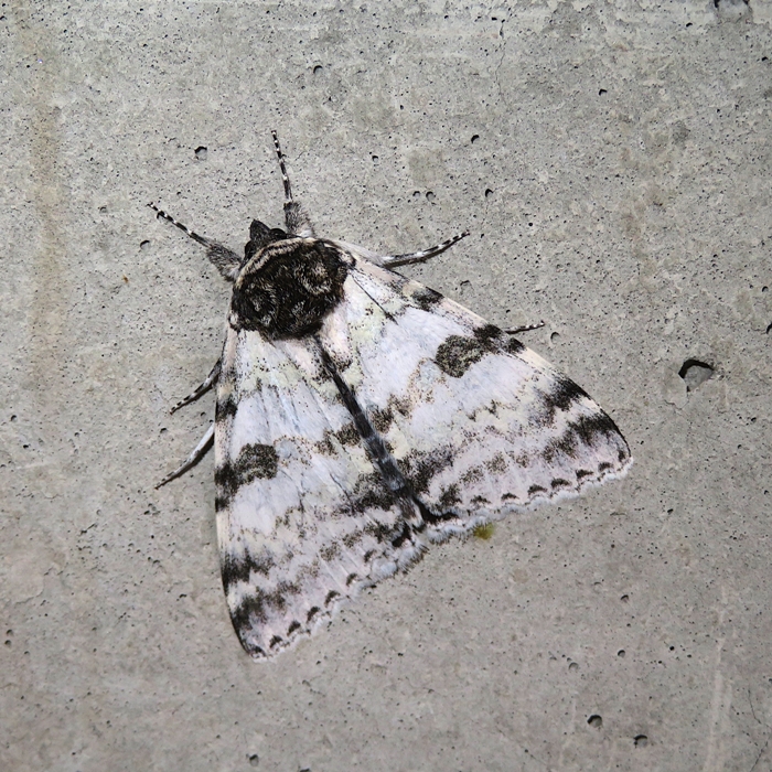
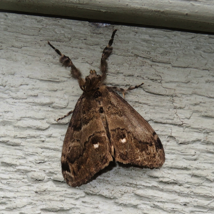
Afterwards, Norma and I checked out the visitor center. Dogs weren't allowed inside so we took turns outside with Daphne. On the building walls, I found some interesting moths. |
|
Our last tourist attraction of the day was the Moncton Tidal Bore, a natural phenomenon on the Petitcodiac River. Here, a natural surge created by massive incoming tides from the Bay of Fundy forces the river water to roll back upstream in a single, continuous wave.
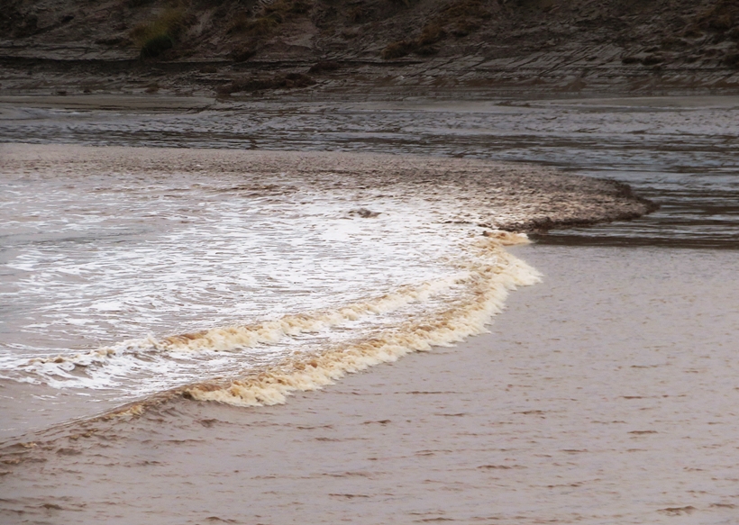
One thing that struck me about this and neighboring places was how muddy the water looked. The dramatic fluctuation between high and low tide pulls mud from the shores and mixes it with the water. I suspect a lot of things would not live so well in such waters, which might explain why we saw so little wildlife in this area. That night, we slept at Motel 6. Daphne was exhausted from all the walking. 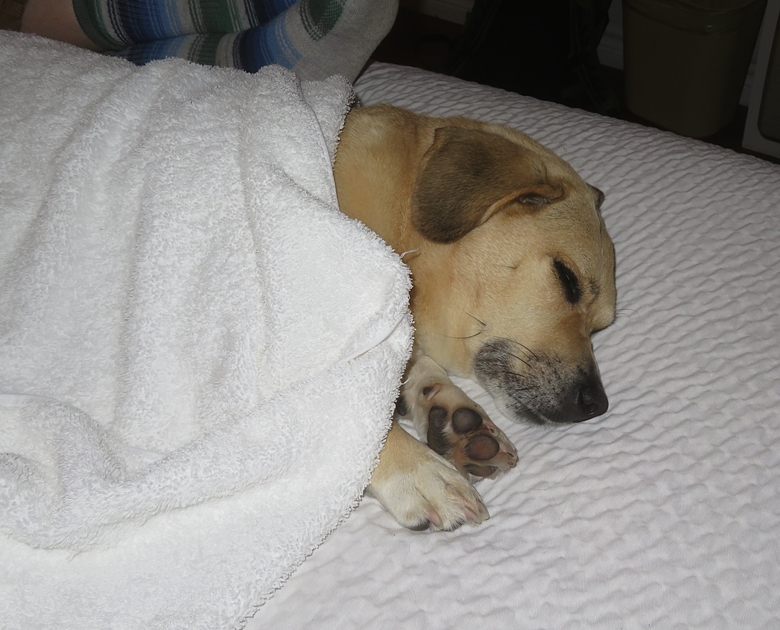
|
|
In planning a trip, Norma often tries to include some kayaking to appease me. The place we walked yesterday, Hopewell Rocks, is also a popular place for guided kayak tours so we made sure to reserve a trip well in advance. At low tide, folks can walk through Hopewell Rocks, as we did the day prior, but at high tide, the only way to visit it via kayak.
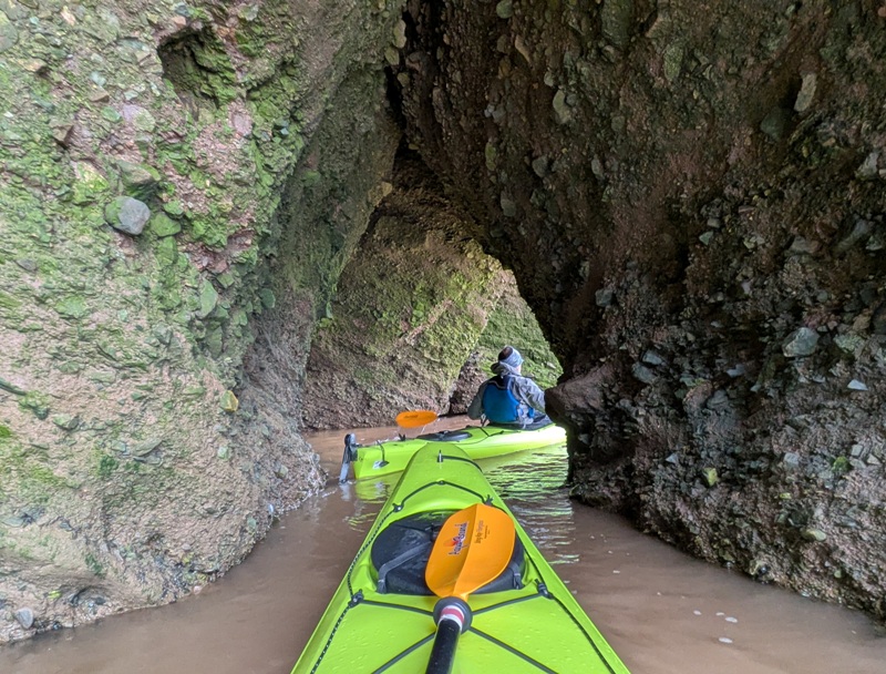
Driving over, we were a little hesitant to be on the water. It was 50 degrees with a chance of rain and not so calm winds. Our outfitter was Baymount Outdoor Adventures and our group was comprised of about 12 plus three guides. We had nice plastic Necky tandem kayaks with rudders. I brought splash jackets for Norma and me. We also had spray skirts. That was sufficient. The place we paddled was pretty sheltered from the wind. We paddled through several carved tunnels that we walked through yesterday. We saw numerous sea stacks. I was impressed with our group. The couples all seemed to handle their boats fairly well and I heard no bickering. 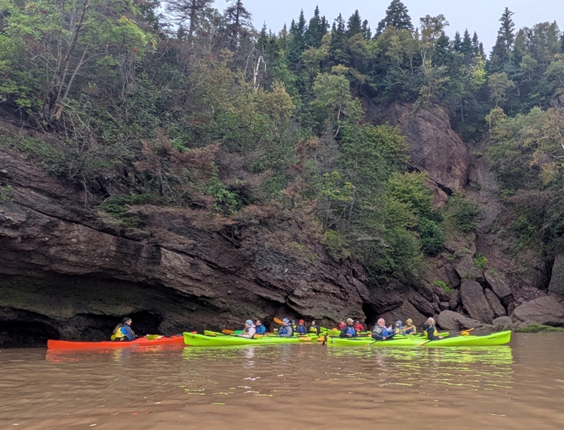
Our lead guide found a dead squid in the water that he then put on a rock. 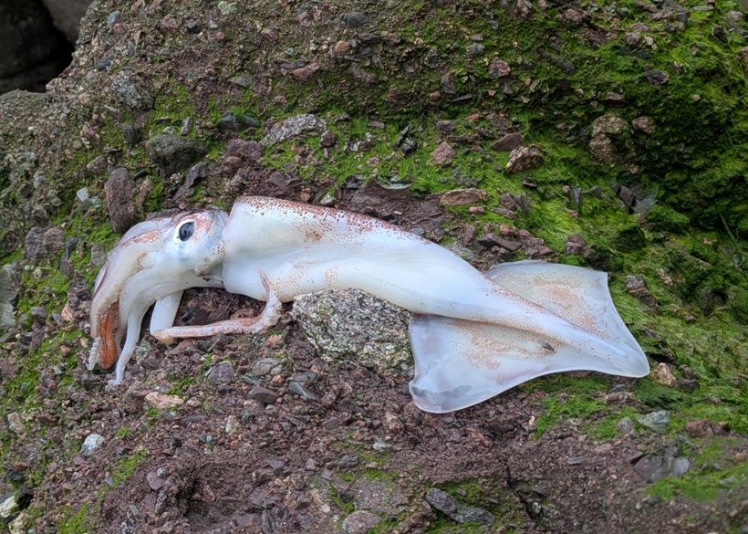
Am I looking happy? 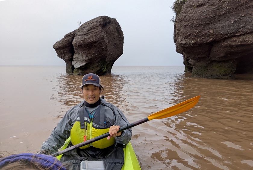
Norma managed to take this selfie despite the fact that we were having to navigate through the tunnels. 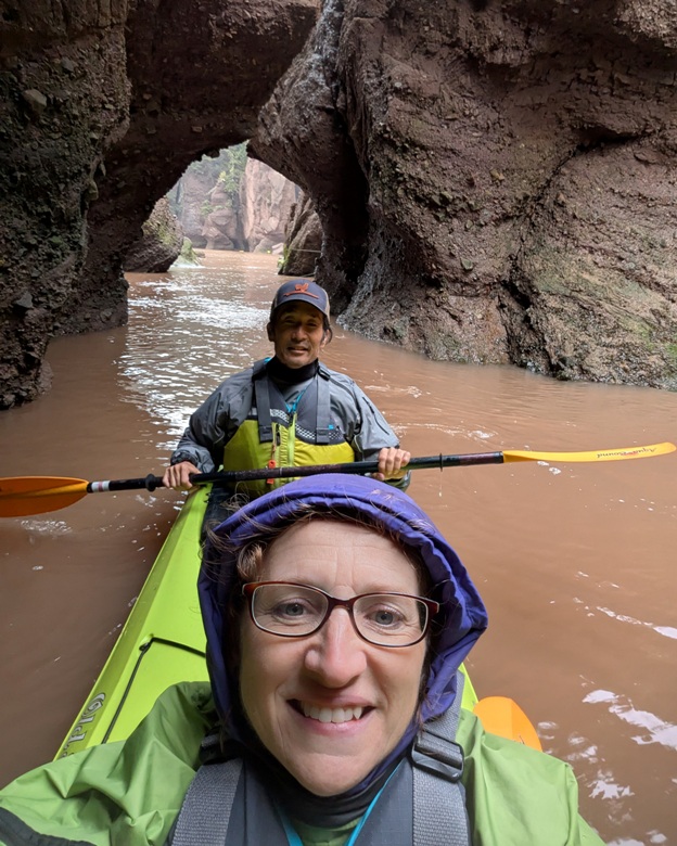
We landed at a different place than where we launched because where we launched was underwater. That is how fast the tide rose. Overall it was a great trip that I would highly recommend to others. |
|
We headed out to Moncton which is the most populated city in the province of New Brunswick. But we couldn't tell because it was still early in the day on a holiday.
The three of us ate an early lunch at the Tide and Boar Gastropub. I'd never heard the word "gastropub" before. It made me think of "gastropod" which I sometimes find when I am fossil hunting. We ate outside so we could be with Daphne. It was cold and a little windy. Much to my surprise, mosquitos were a problem, even in this urban area. I had a really nice piece of haddock but it was rather bland, like much of the food we'd tasted in Canada. I suspect it is due to their English roots. |
|
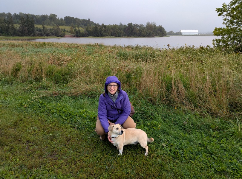
Leaving New Brunswick, we headed out to Upton Farmlands on Prince Edward Island. This is an off-leash park. Daphne is not very good around other dogs so when they approach, we put her on a leash. But we saw very few other dogs. I suppose the cold, wet, and windy weather might have kept people at home.
|
|
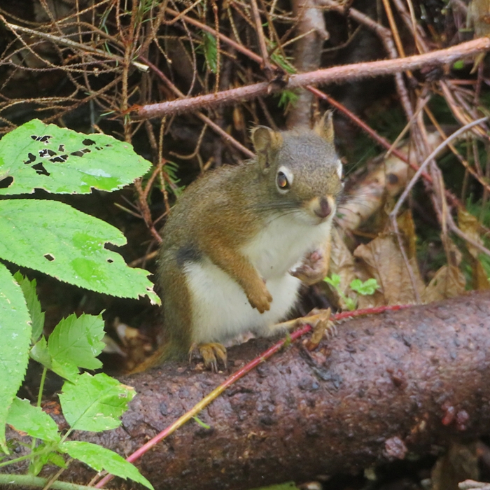
Our next stop was the Beach Grove Nature Trail. Here, we encountered numerous squirrels that were obviously used to getting handouts from people. There were even some squirrel feeders. We tried to keep them away from Daphne. Daphne enjoyed sniffing their holes and digging for them.
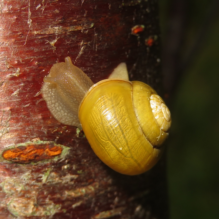
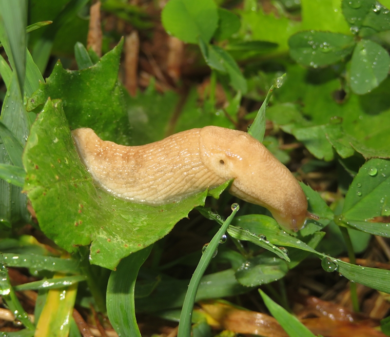
We saw some interesting gastropods. Here's Daphne and me on a grassy trail. 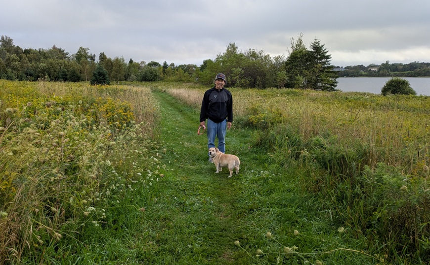
That night, we had African food for dinner from the Jollof House. It was definitely not bland. This restaurant was a little hole in the wall...one of the few places that was open that wasn't a franchise. We slept at Canada's Best Value Inn & Suites. Norma used their ice bucket to give Daphne a thorough cleaning, which she very much needed. |
|
One of the big motivators for visiting this area was so Norma could see the Green Gables Heritage Place. She grew up reading "Anne of Green Gables" so this was her chance to see some of the inspiration behind the story.
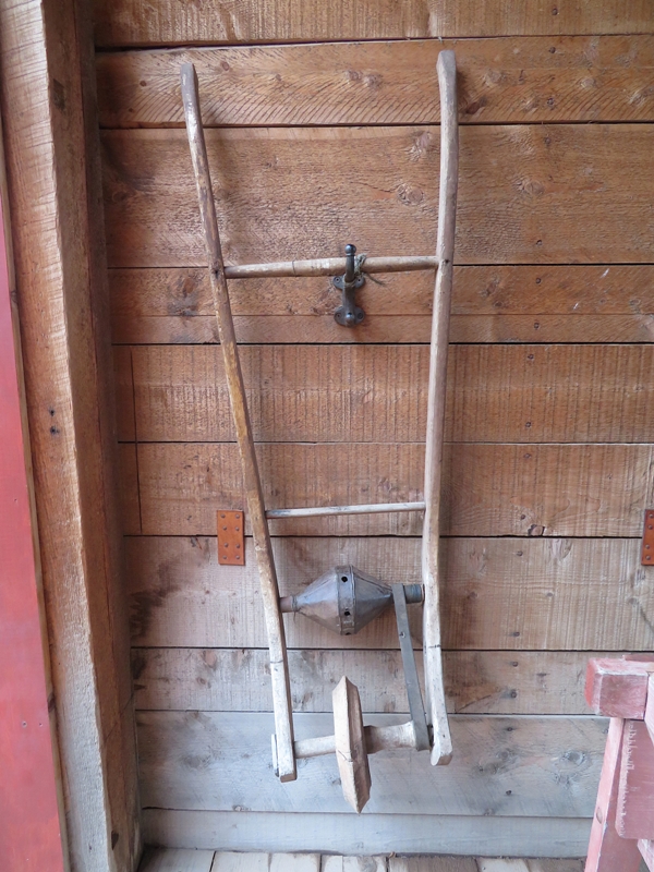
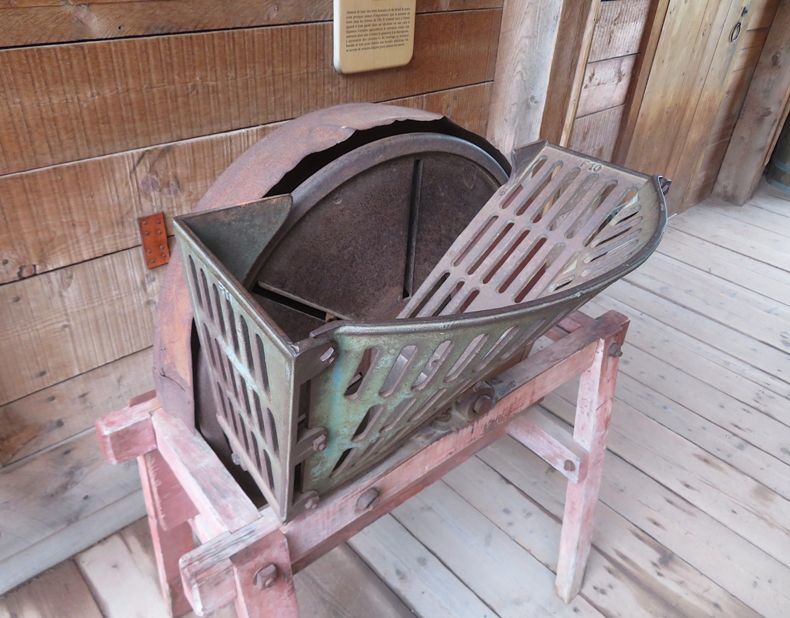
Anne of Green Gables is a 1908 novel by the Canadian author Lucy Maud Montgomery (published as L. M. Montgomery). Written for all ages, it has been considered a classic children's novel since the mid-20th century. Set in the late 19th century, the novel recounts the adventures of an 11-year-old orphan girl Anne Shirley sent by mistake to two middle-aged siblings, Matthew and Marilla Cuthbert, who had originally intended to adopt a boy to help them on their farm in the fictional town of Avonlea in Prince Edward Island, Canada. - from Wikipedia - Anne of Green Gables As we toured the museum and grounds, we learned quite a bit about the author, Lucy Maud Montgomery, and Green Gables. Green Gables was initially owned by the MacNeil family, relatives of Lucy Maud Montgomery, the author of Anne of Green Gables. The building was initially built by the family during the 1830s and was expanded during the 1870s and in 1921, the latter expansion resulting in the building's present L-shape. In 1908, Montgomery published Anne of Green Gables, with Green Gables serving as the home for the titular character Anne Shirley. Interest in the home grew after the publication of Anne of Green Gables and the release of a movie based on the novels in 1934. With Green Gables vacant during the 1930s, the government of Canada purchased the property in 1936 as a part of a larger effort to develop Prince Edward Island National Park. - from Wikipedia - Green Gables (Prince Edward Island) To depict how people lived back in the day, there were some old local turnip farm tools on display in a barn. A staple for people and livestock, turnips were almost as important as potatoes on Island farms. They wintered well, if kept from freezing in a pit or root cellar. Some farmers fed them to their livestock whole. Others chopped them in a pulper, added grain and chaff for filler, and boiled the mixture to make a delicious mash. Special seeders were used to plant fields of turnips. - from sign titled "Turnip Pulper and Seeder" Just outside the barn was a well-tended garden. 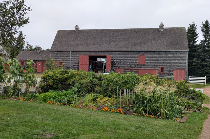
Norma and I took turns with Daphne while the other toured a historic home. 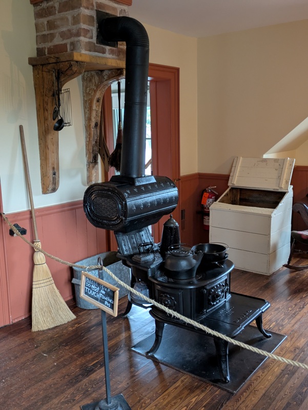
We walked on the Haunted Wood Trail. 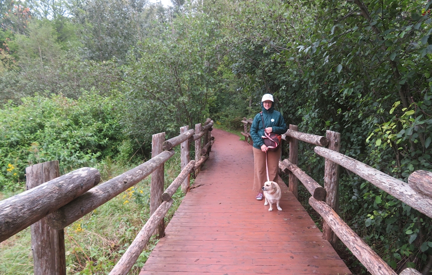
Here's Norma and Daphne at the bronze statue titled "A Glimpse of Beauty" depicting Lucy Maud Montgomery. 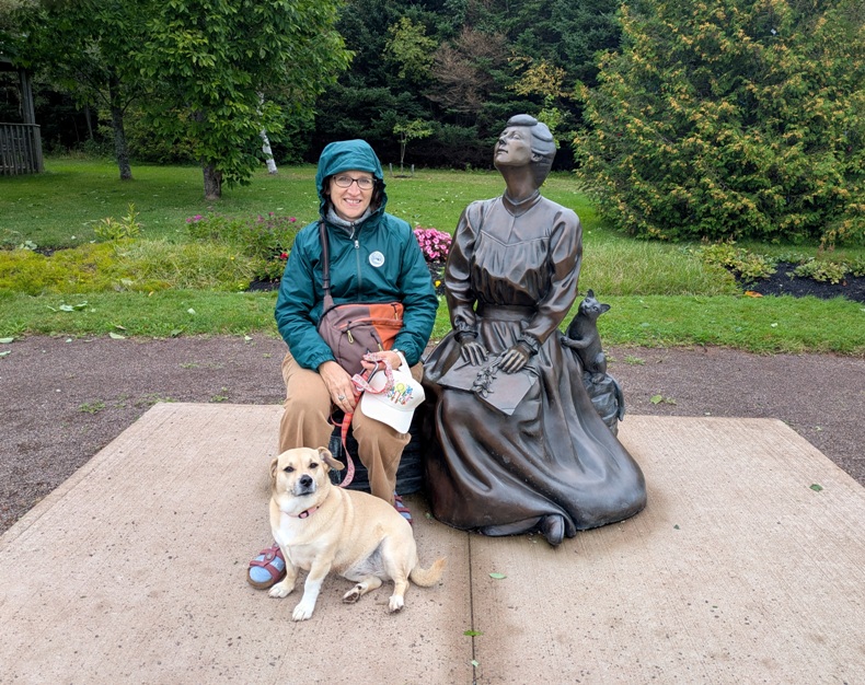
We stopped for a bite to eat at the Green Gables Café. Waiting outside with Daphne, I spotted a plume moth on the window. 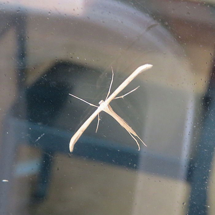
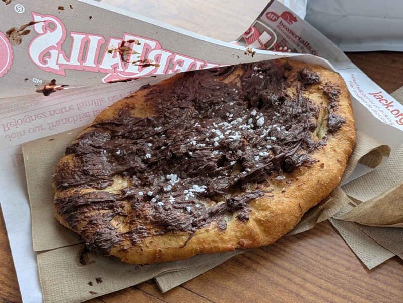
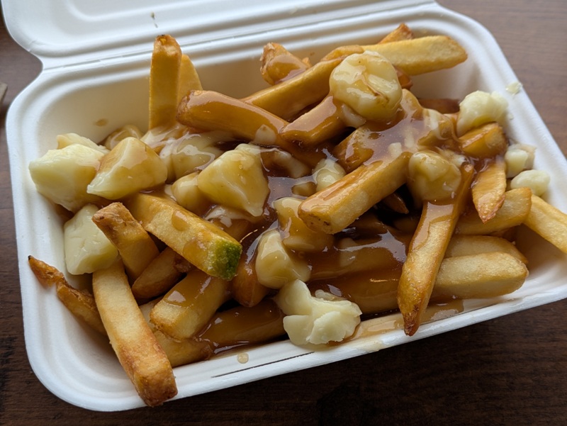
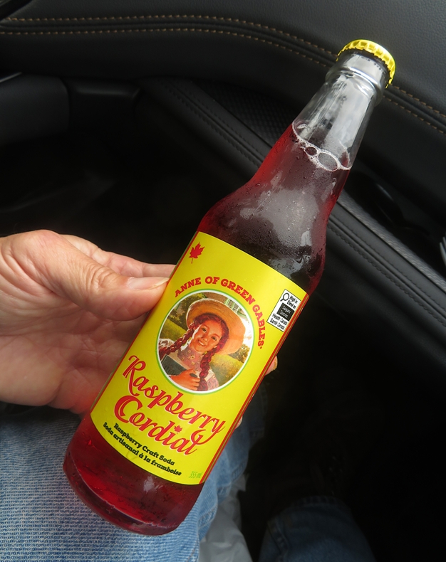
Norma returned with our distictively Canadian snacks: |
|
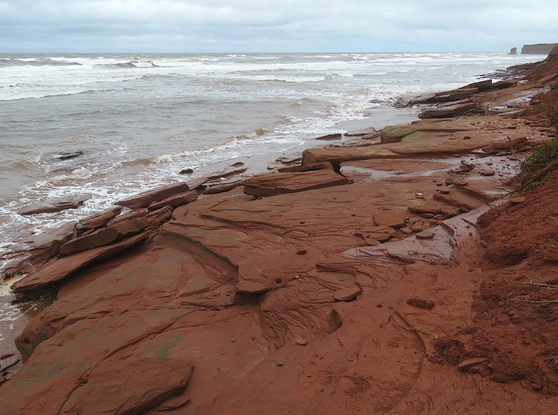
We drove on the Gulf Shore Parkway on the north side of Prince Edward Island. We stopped at various places to walk on the rocks and get a view of the Gulf of Saint Lawrence. Daphne had to wait in the car for us due to pet restrictions to protect nesting shorebirds. This was probably for the best. Too much rock scrambling for her.
The waves were big and started breaking far from shore. It seemed like a good place for surfing but we saw no surfers. 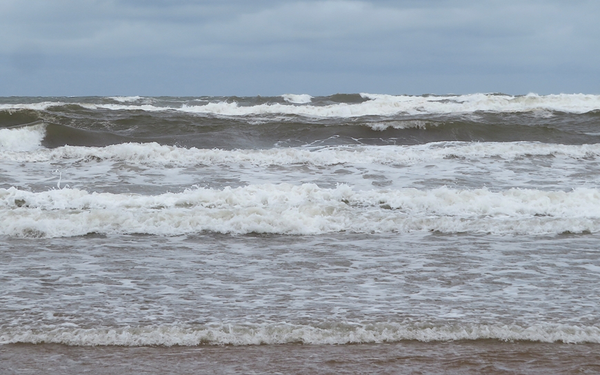
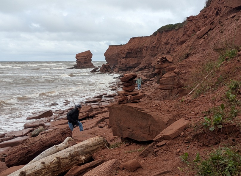
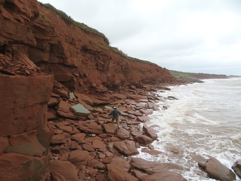
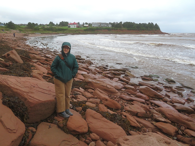
We saw many steep cliffs and red boulders near the water. There were also plenty of view of red boulders minus the cliffs. Norma enjoyed rock scrambling with the waves crashing behind her. 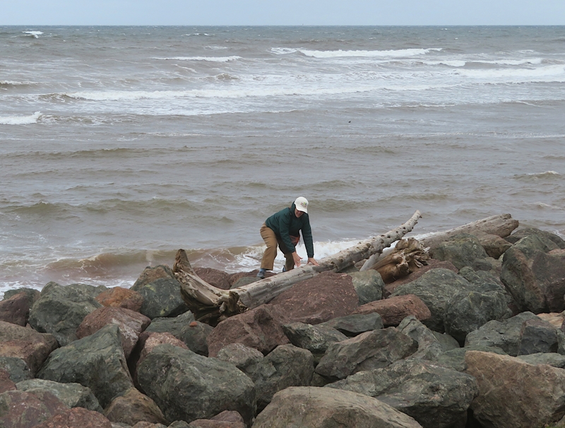
I found a rock containing what I believe are trace fossils, possibly reflecting worm activity. ...trace fossils, are geological records of the activities and behaviors of past life. Some examples include rock evidence of nests, burrows, footprints, and scat. These fossils are different from body fossils that preserve the actual remains of a body such as shells or bones. - from National Park Service - Trace Fossils 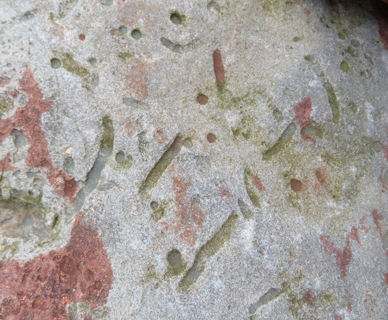
I was looking for interesting wildlife. The best thing I found was the claw from a crab or lobster. 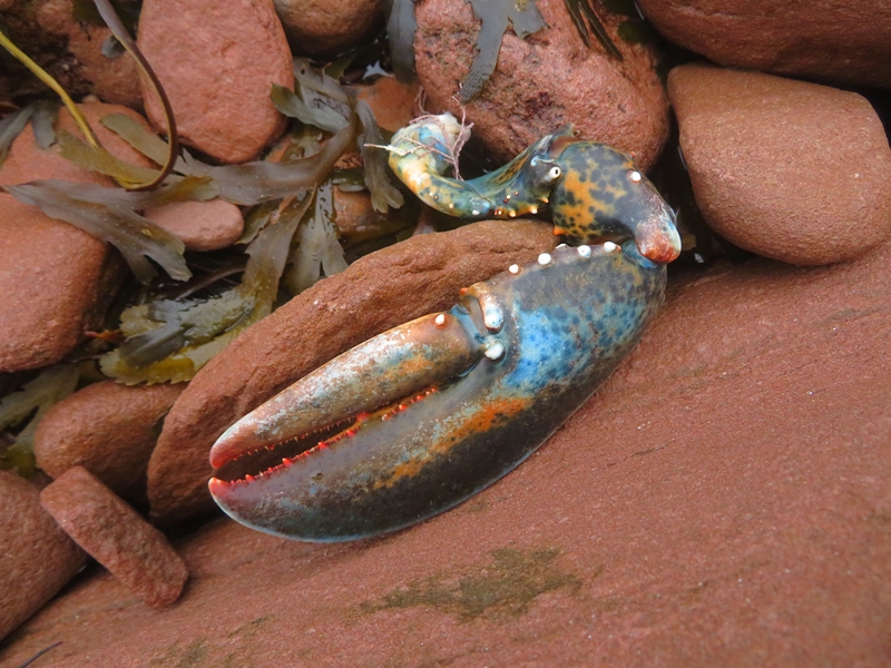
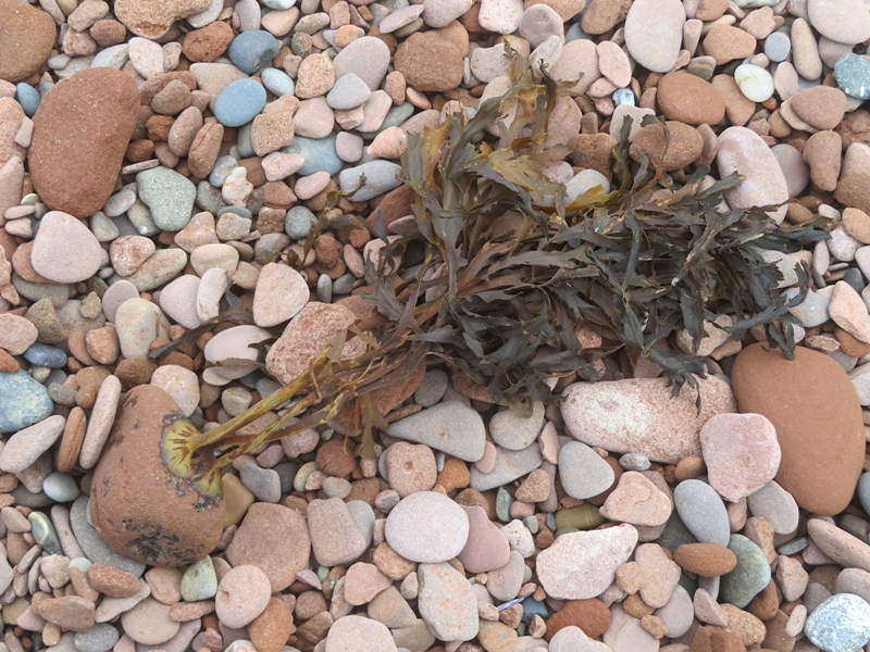
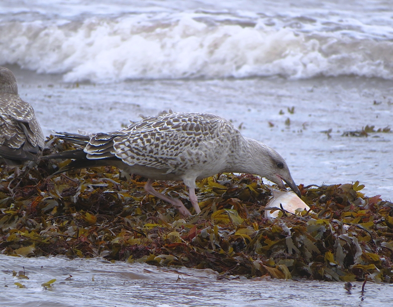
Usually when I see seaweed, I don't think about the root system. But today, I got to see how one aquatic plant attached itself to a rock. Perhaps the most interesting thing I saw was some aquatic vegetation washed up on shore that was mixed with what I originally thought was paper trash. This trash-looking thing was white and looked too perfect to be natural. It could be eelgrass. I was just happy it wasn't litter. 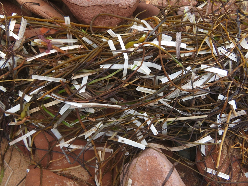
|
|
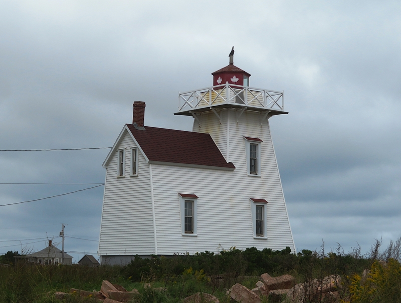
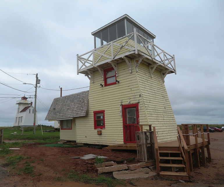
Gulf Shore Parkway ended at North Rustico, a historic fishing town on Prince Edward Island's north shore, affectionately known by locals as "the Crick."
Beach
Harbour
|
|
We drove to Charlottetown, the capital of Prince Edward Island.
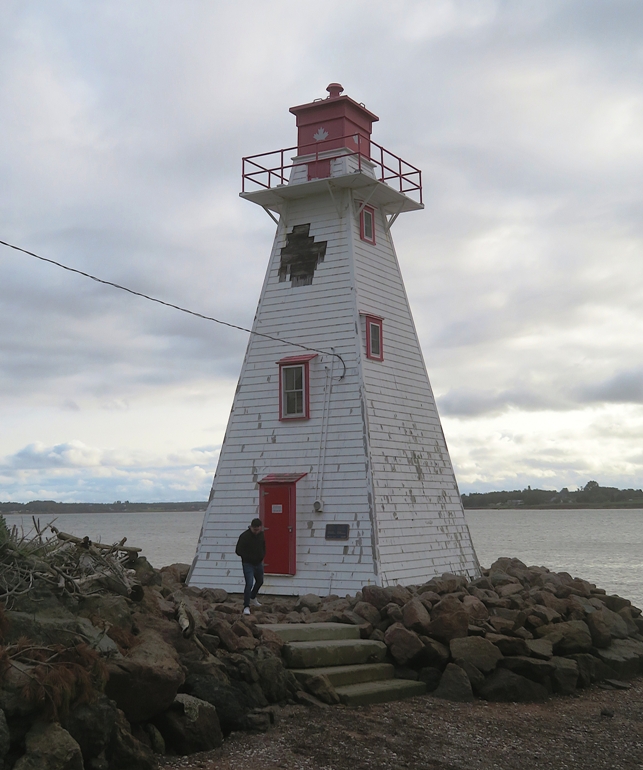
Brighton Beach Range Front Lighthouse
Victoria Park Floating Dock
|
|
Today was a nice day. It was still cool but there was occasional sun.
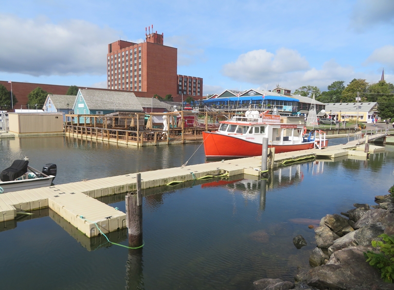
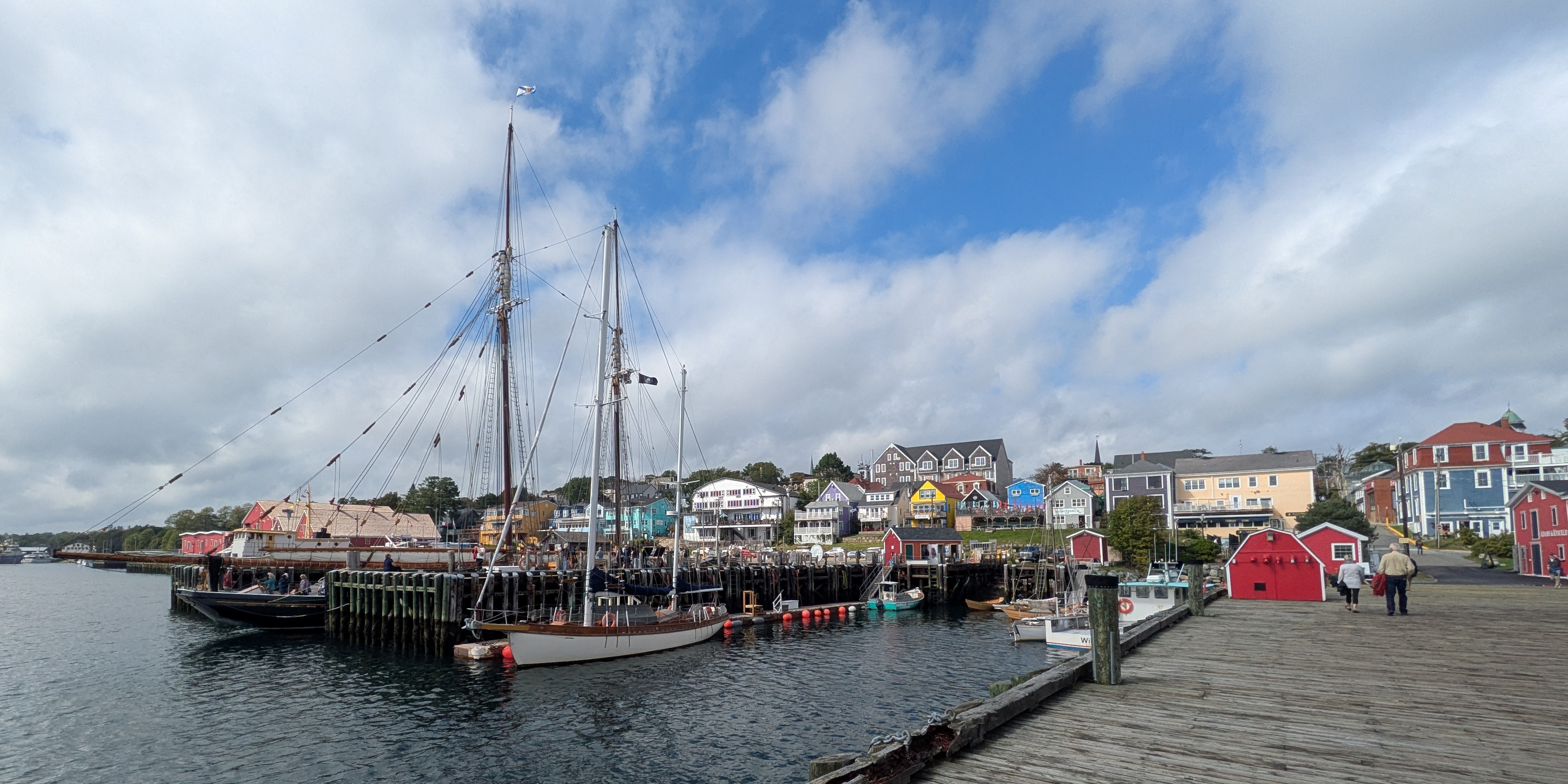
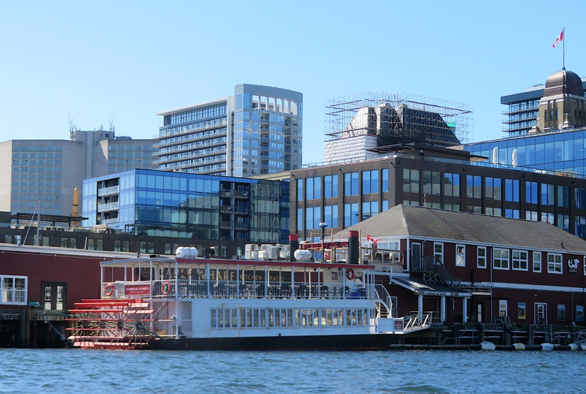
A couple of cruise ships were in port. As expected, the waterfront area was touristy. See the photo at the top of this page. 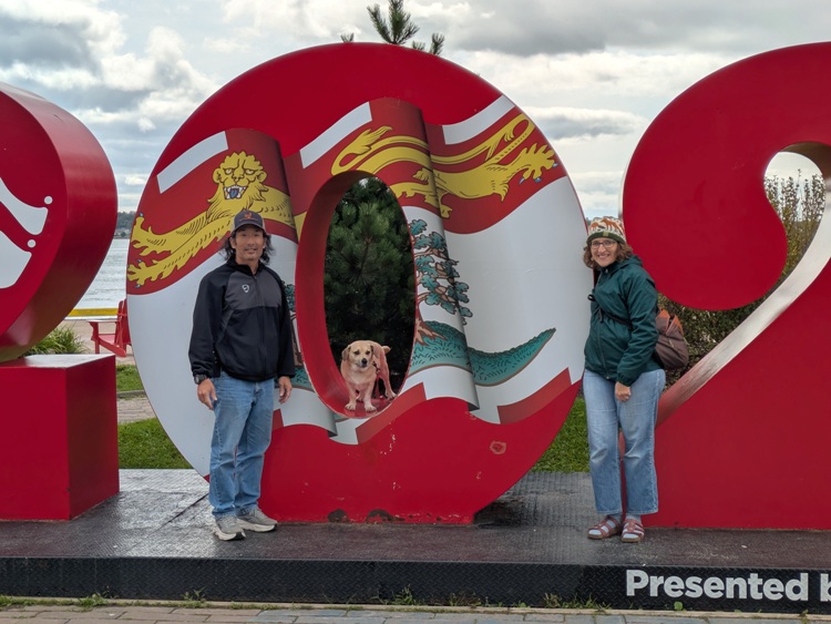
Here's Daphne and me at a sign that made me think of Virginia. 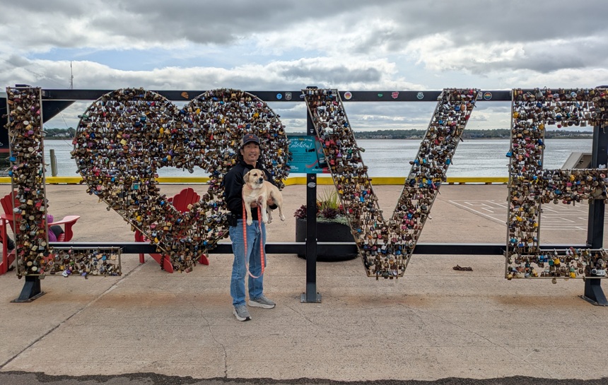
Norma enjoyed shopping and bought a really nice knit cap. We also had ice cream from Cows. 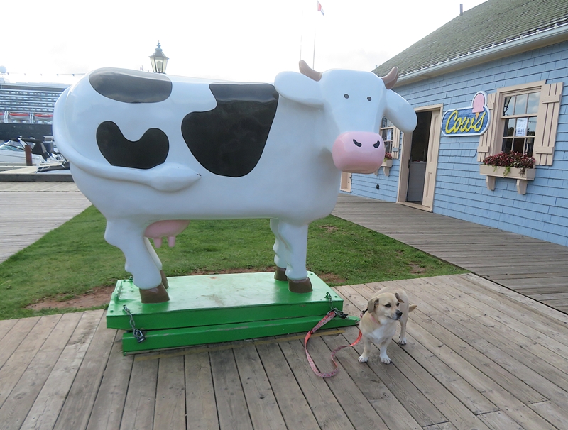
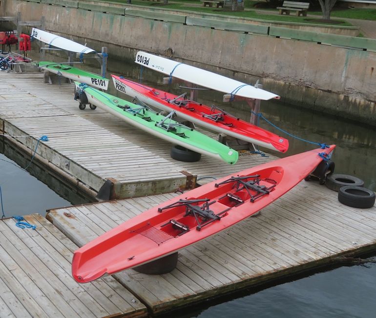
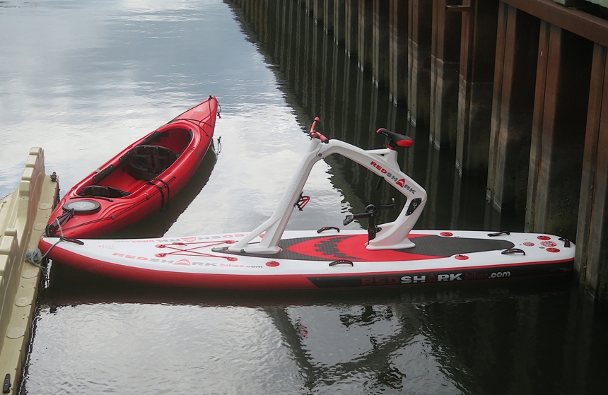
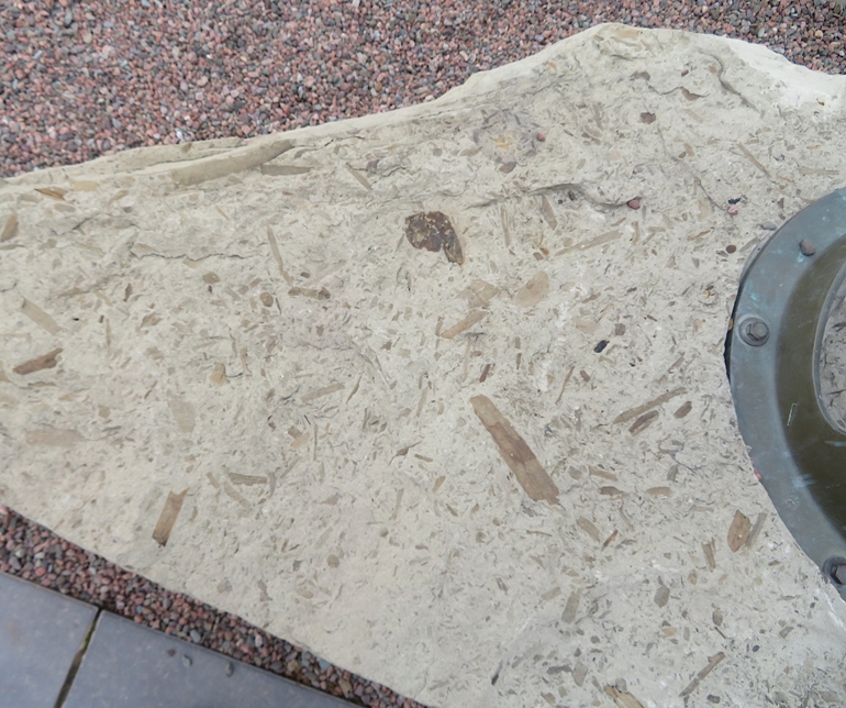
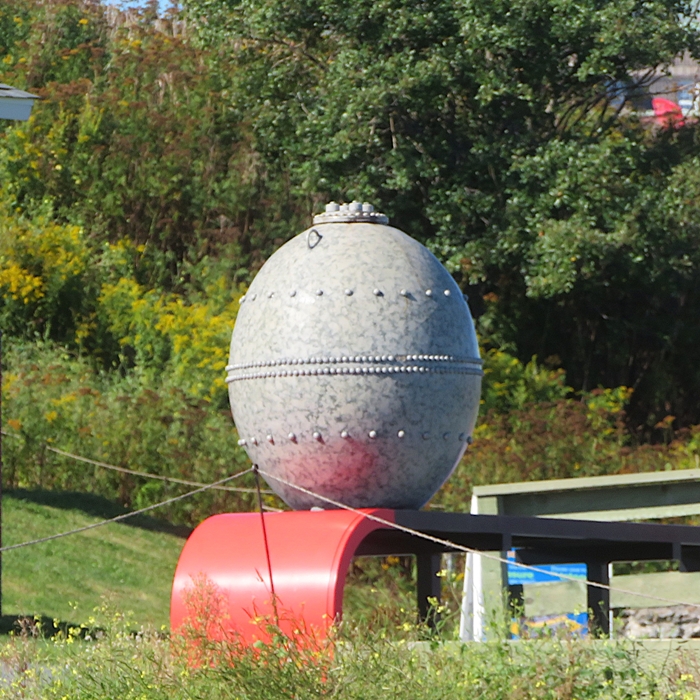
I saw signs of watersport activity, though I didn't actually see anyone doing any here. The most interesting thing I saw was what Google Image Search says is a antique yacht signal cannon. 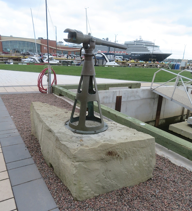
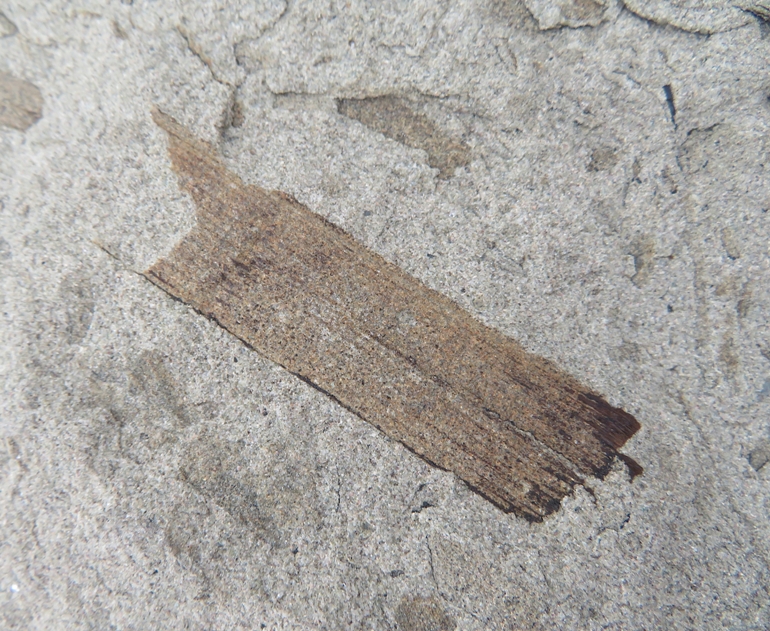
What was so special about it? In its sedimentary rock base were numerous fossils. |
|
Before leaving Prince Edward Island, Norma insisted we purchase a bag of new potatoes...something they are famous for.
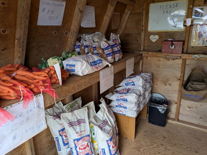
Continuing our jouney, we left Prince Edward Island via Confederation Bridge, which brought us back to New Brunswick. 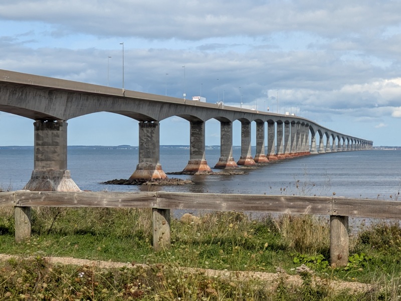
We kept driving until we got to Nova Scotia, our third and final province. |
|
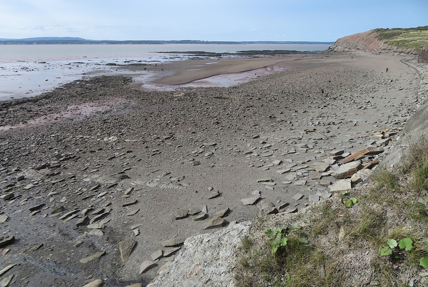
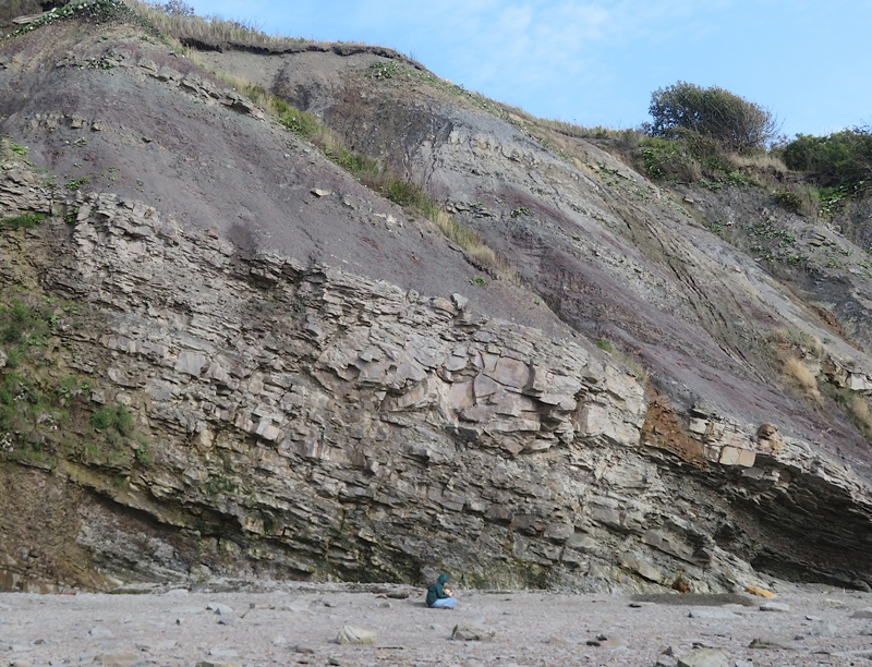
The three of us did a low tide visit to the Joggins Fossil Cliffs.
Explore up to 15 kilometres of magnificently exposed layers of rock along the Bay of Fundy coastline. Towering cliffs reveal the world's most complete fossil record of life in the "Coal Age" when lush forests covered Joggins and much of the world's tropical regions, 300 million years ago. Constant erosion from the Bay of Fundy's tides, rising and falling up to 13 metres (42 feet) in Joggins twice daily, creates possibilities for exposing new, rare fossils. - from Nova Scotia - Joggins Fossil Cliffs UNESCO World Heritage Site After reading about fossils in their museum, we went outside to search. We could not take any fossils home but that was fine with me. Photos were the next best thing. Here I am searching in an area that will soon be underwater. 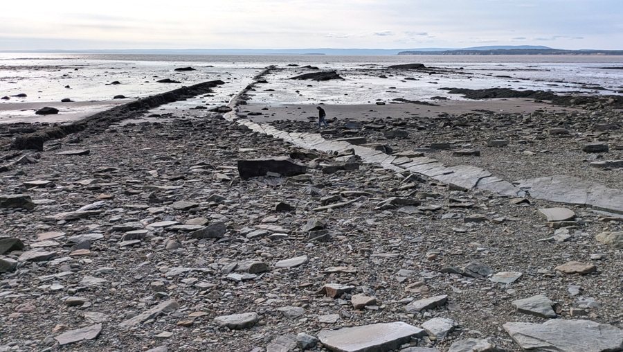
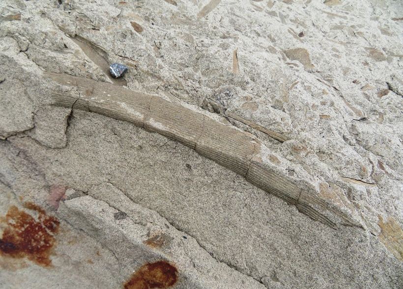
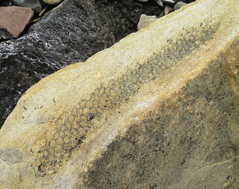
I suspect many of the fossils we found are calamites. This was the most widespread type of Coal Age plant. 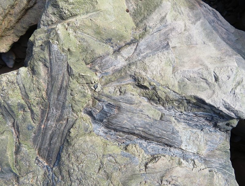
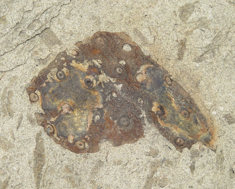
I believe these are lepidodendron fossils. This was the only recognizable leaf fossil I saw. 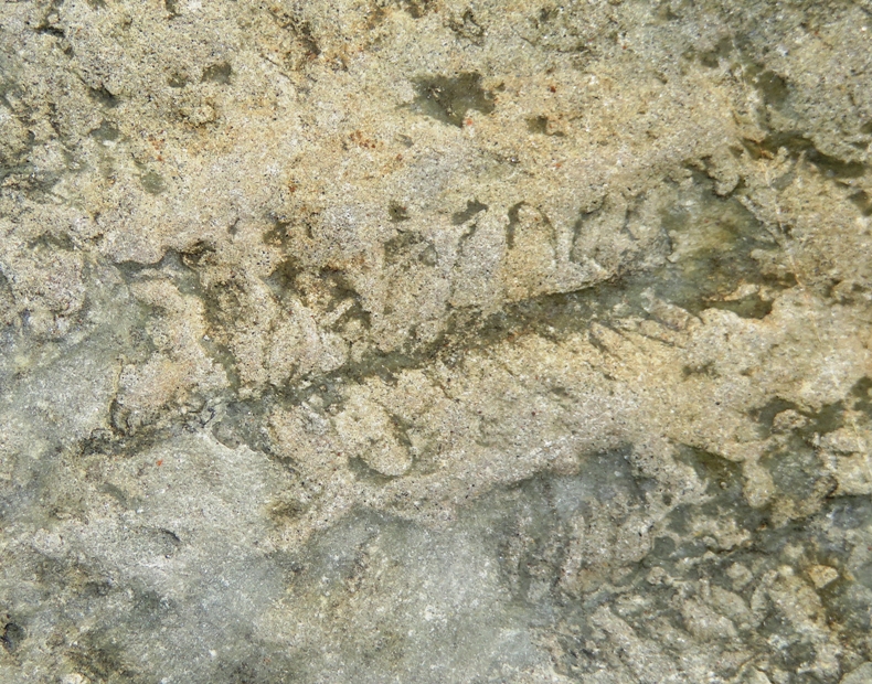
I found various fossils that AI and I were not positively able to identify. Most have striations. I'm thinking most are calamites but my confidence is not high. 1 / 6

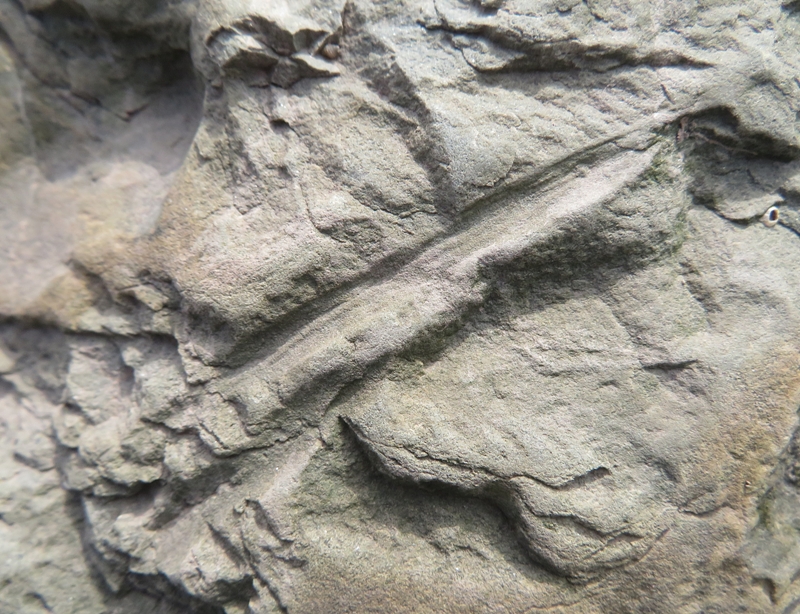
Weak striations.
2 / 6
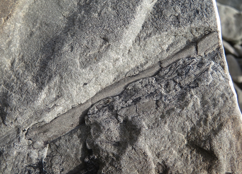
No striations.
3 / 6
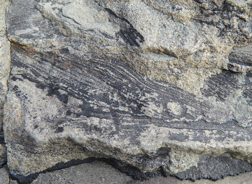
Plant bark.
4 / 6
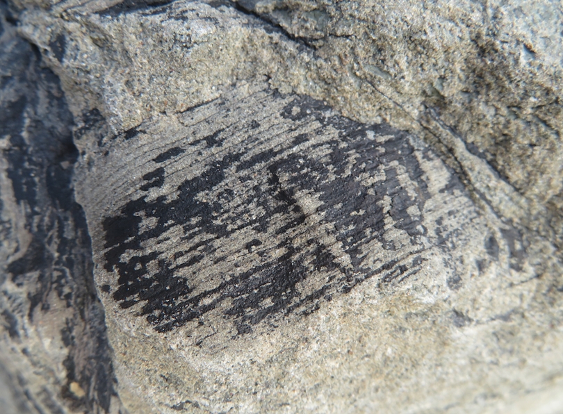
Small.
5 / 6
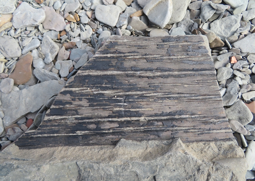
Large.
6 / 6
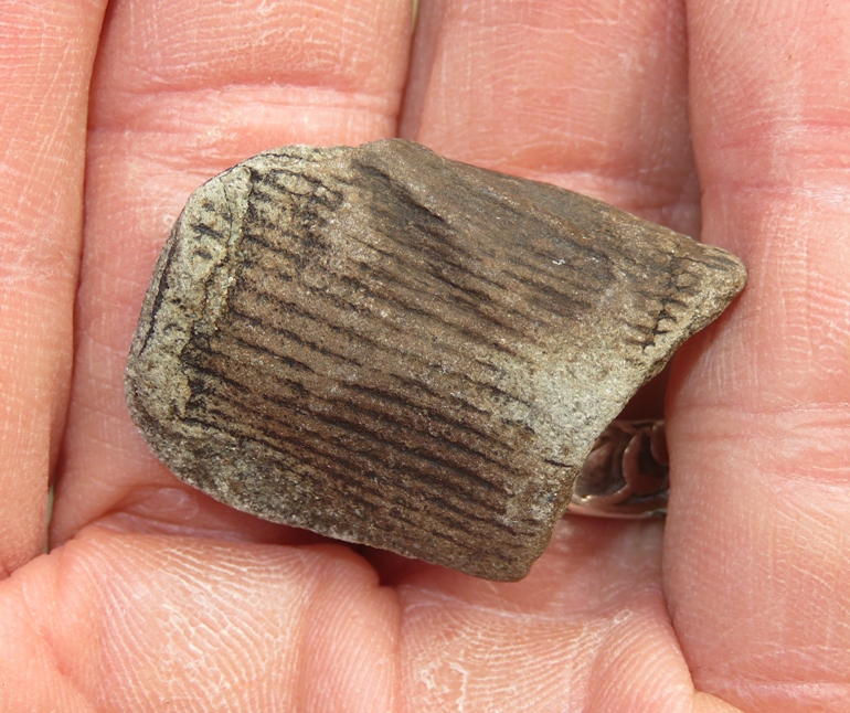
Very small.
Norma and I actually found very few fossils on our own. Most of those shown above were placed on a prominent rock near the stairs leading down to the beach. Since folks weren't allowed to take fossils home, they left them there. Amongst these coal age fossils, I also found some coal. 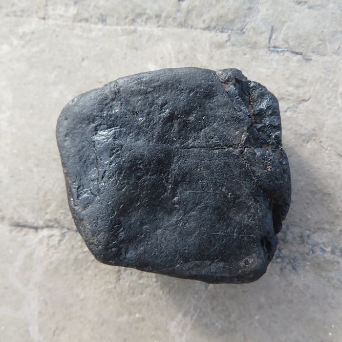
We ate dinner at the Inn on Prince Motel, where we stayed for the night in Truro. Norma's meal wasn't so great but my burger and fries were quite tasty. It was a very long wait. |
|
It rained a lot during the night. We awoke to a flooded parking lot. The motel staff says that always happens after a heavy rain. Fortunately, it was just the lower portion. No cars floated away.
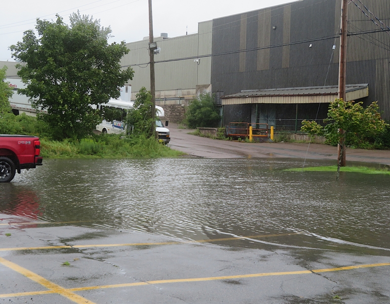
We walked around a pond at Kiwanis Park, which was near the motel. It continued to rain hard. Daphne and I were not amused. Norma timed our visit to see the Truro Tidal Bore, our next stop. This one was much more dramatic than the one at Moncton. 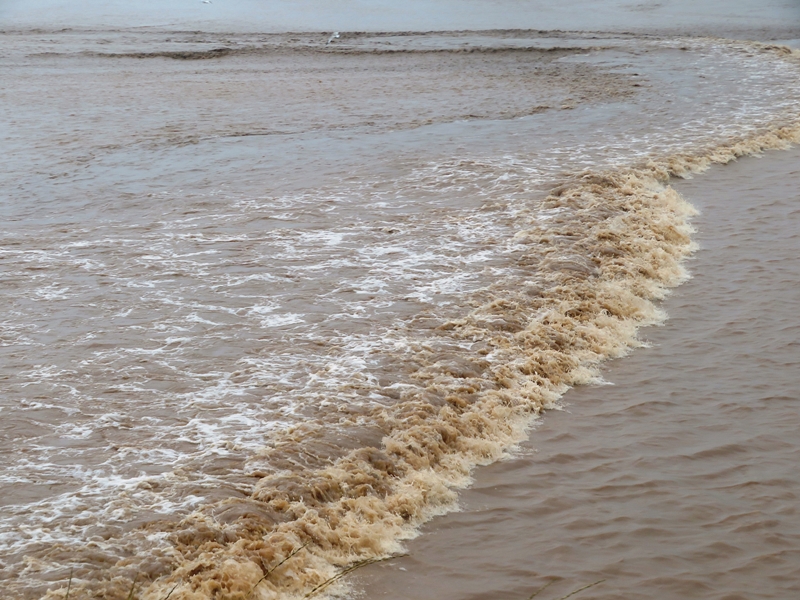
Click on the image below to start a video of the tidal bore wave rushing up the Salmon River. 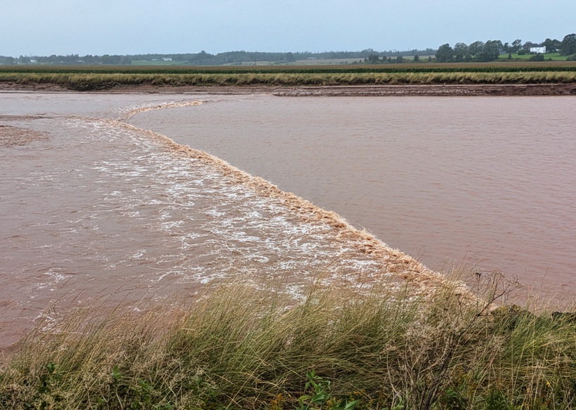
|
|
We drove to the Atlantic Ocean side of Nova Scotia, stopping at Lunenburg, another UNESCO World Heritage Site.
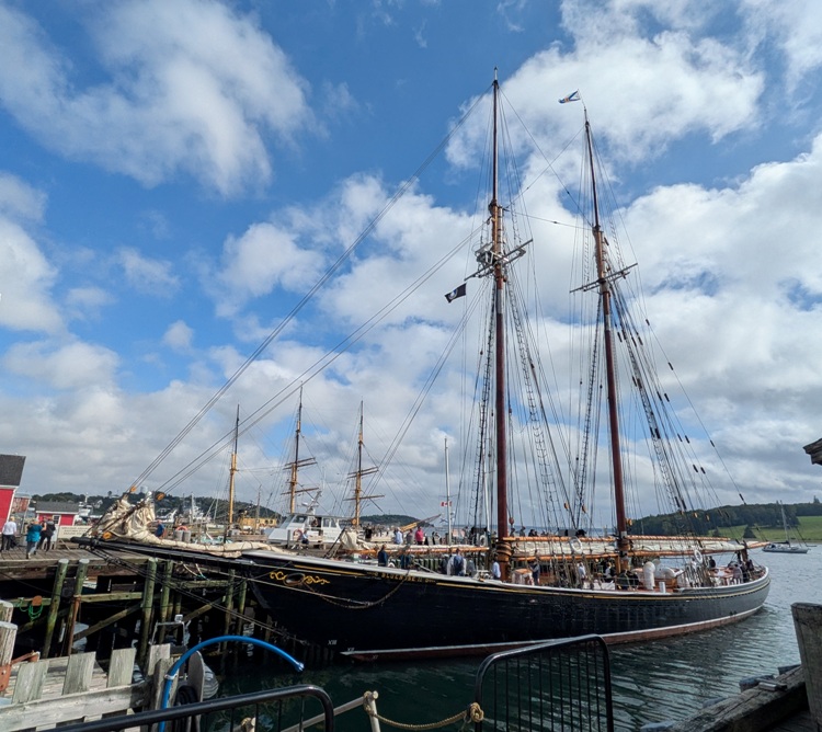
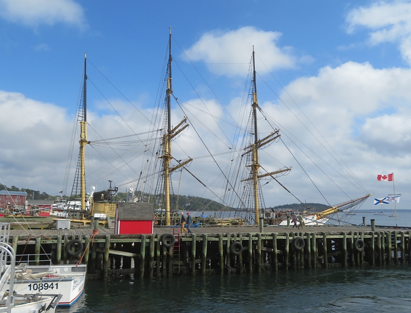
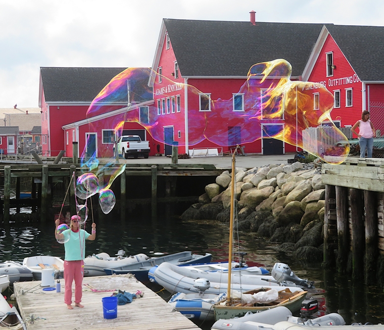
By now, the skies were starting to clear, with the sun playing peek-a-boo with us. We spent a lot of time at the waterfront area. Check out the photo at the bottom of this page. 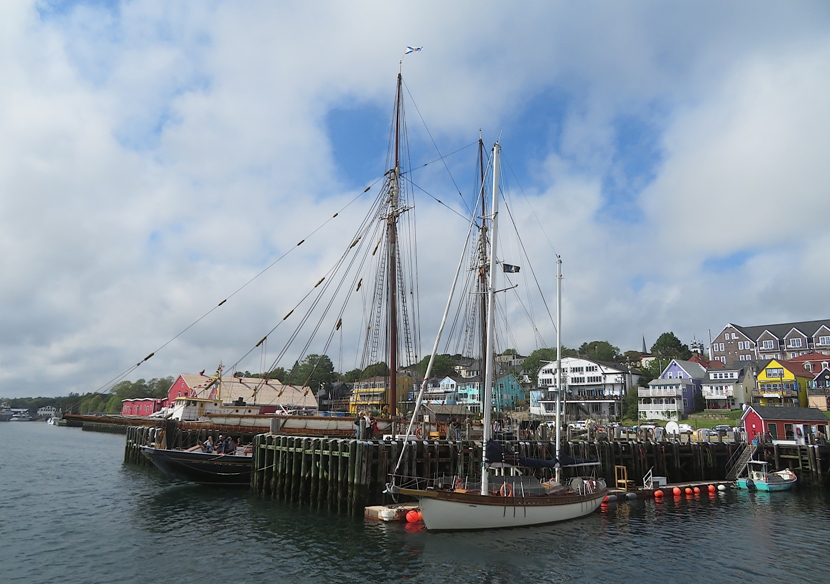
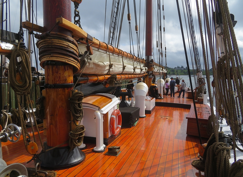
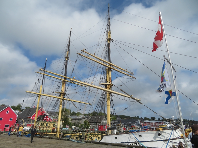
I got a chance to go aboard the Bluenose II. I've been on schooners in Maryland but this ship was significantly larger than any schooner I'd seen before. Built in 1963, Bluenose II is an exact replica of the famed schooner Bluenose, which became a national icon when she raced undefeated for the International Fishermen's Cup. Her namesake remains a symbol of the Grand Banks fishery, shipbuilding excellence and the seafaring history of our region. The Picton Castle, a three-masted tall ship, was also moored. Here's Norma and Daphne at a replica (or maybe the real deal) of the Cape North wheelhouse and captain's cabin. Cape North was a side trawler built in 1945. 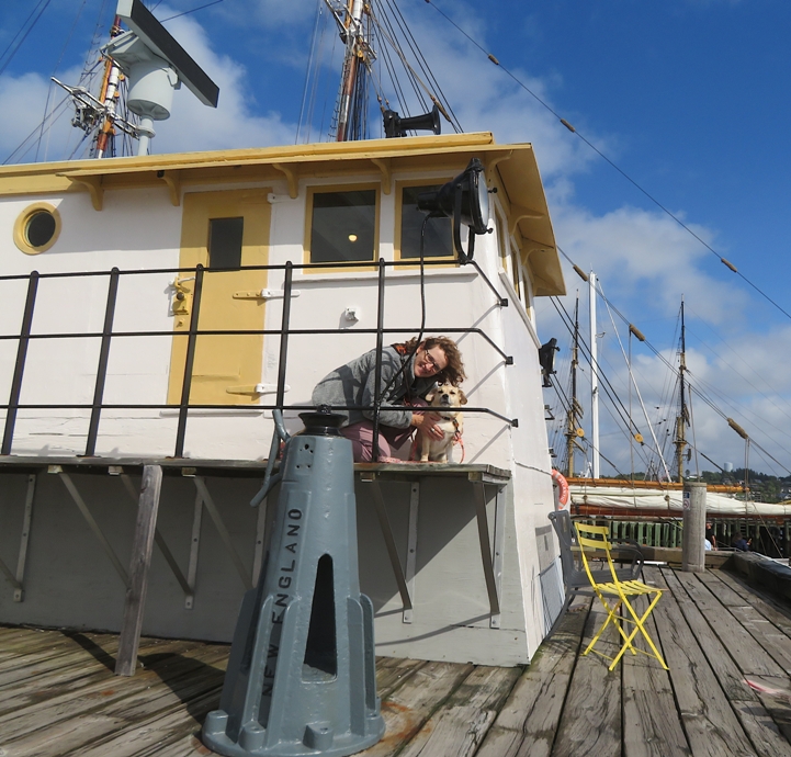
Norma got Daphne to stand on a really heavy duty fishery scale. If she were a fish, she would be quite a catch. 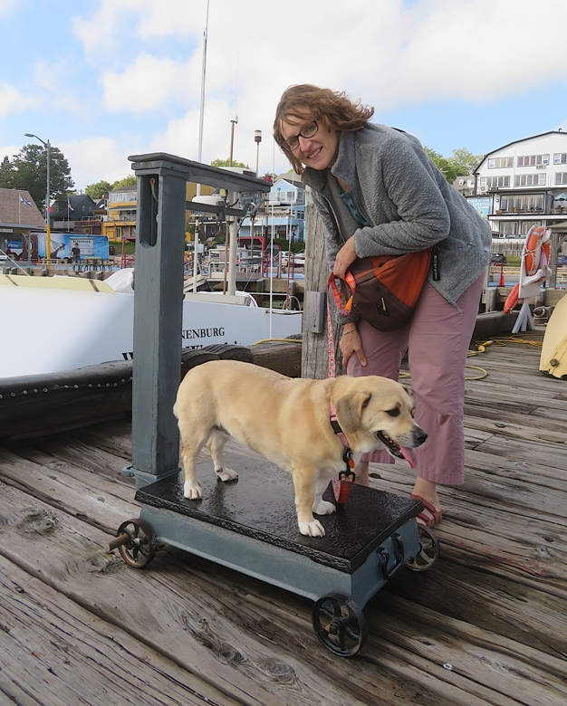
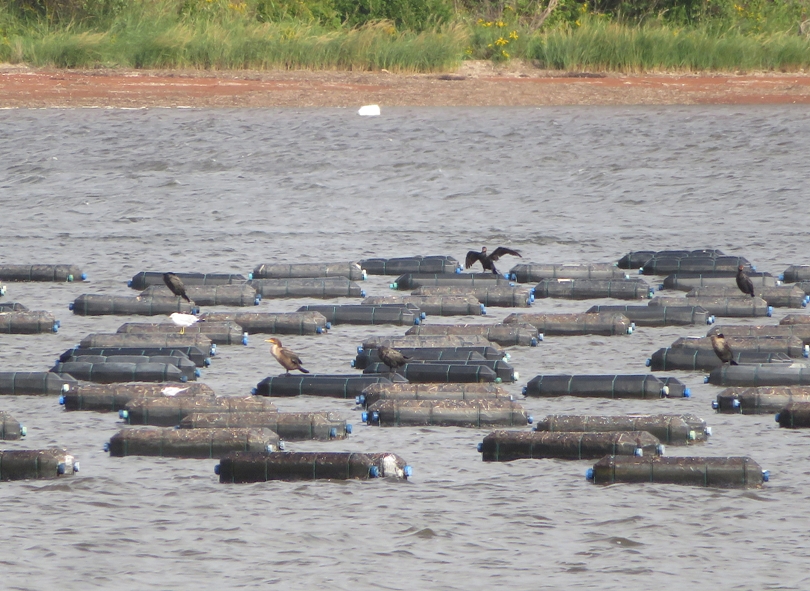
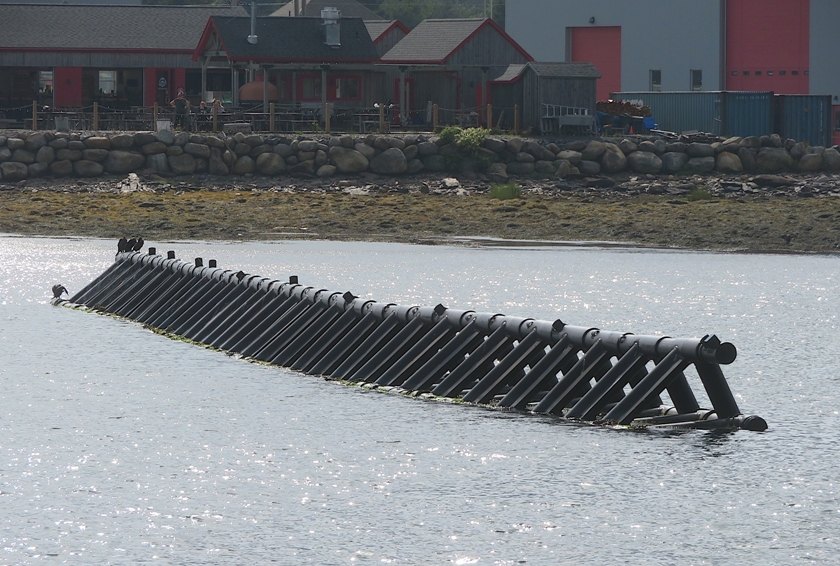
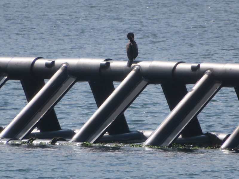
One unusual thing I saw in Lunenburg Harbour was a floating breakwater system known commercially as "Wave Break." It also served as a cormorant perch. I saw a sign for the Canadian Dory Racing Association. I'd never heard the term "dory" before. Dories have deep historical and cultural roots in Atlantic Canada, particularly in Newfoundland and Nova Scotia. A dory most commonly refers to a small, shallow-draft fishing boat with a flat bottom or a deep-bodied marine food fish. |
|
Norma toured the Fisheries Museum of the Atlantic while I took Daphne, since they did not allow pets.
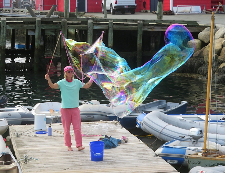
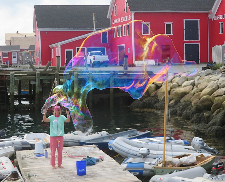
Walking by the piers, I saw a guy making bubbles. I thought I heard someone call him Scott. He seemed very skilled at his craft. Scott also used a garland wand, something I experimented with a little but didn't like. I felt his results looked similar to mine. 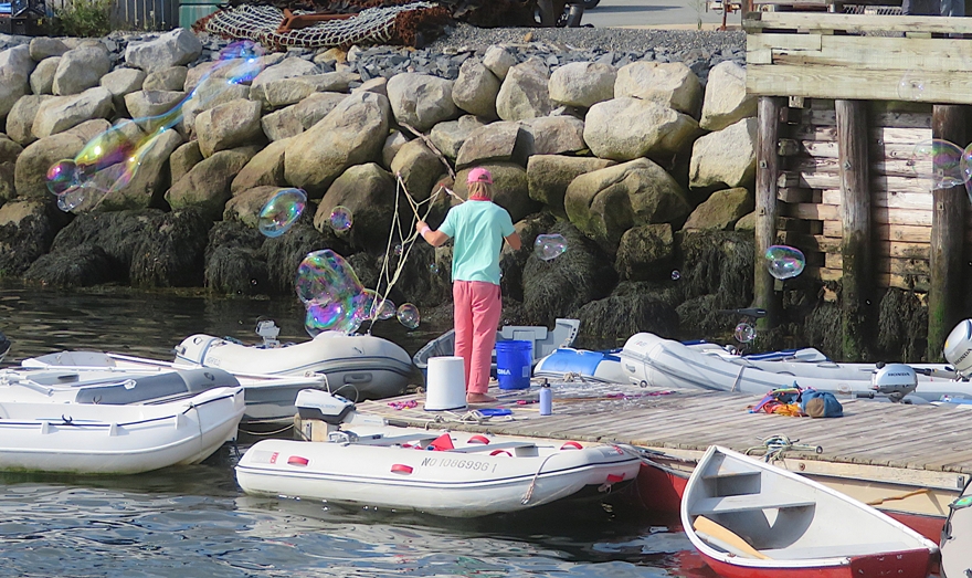
We spoke for awhile and he shared his bubble recipe with me. His formula, which he got from someone else, used most of the same ingredients as mine plus more. I look forward to trying it out. I think we tend to operate in opposite environments. In Savage, I make bubbles during the summer in a sheltered area so the wind tends to be low. In contrast, he works in a waterfront area which can be pretty breezy. But he said the spot he makes his bubbles is not as windy as many places in the area. |
|
Once Norma was done with her tour of the museum, I gave her Daphne and then checked it out myself. It was near closing so I didn't spend too much time in any one area. That was fine. I wasn't much in a reading mood.
The one thing that stuck with me is that a seahorse is the slowest fish. I read that on one of their signs. Inside the museum, I saw a urinal with a pictosign above telling folks to not crap in the urinal. I wondered about the incident that prompted this. 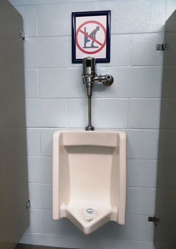
Near the museum was the Cape Sable, a fishing vessel. |
|
Lunenberg is a popular tourist destination so lodging is very expensive. By now, the rains had passed so we figured we could use my vehicle air mattress and car camp to save money. But finding a place to stay was not so easy. It was late in the afternoon and at least some places were no longer manned to accept guests. Reaching them by phone or Internet was futile. Fortunately, I found one place that gave us a spot called Off the Beaten Path.
This place was quite primitive. We had an outhouse with a light, a water spigot, and an unprotected outdoor shower (no walls). 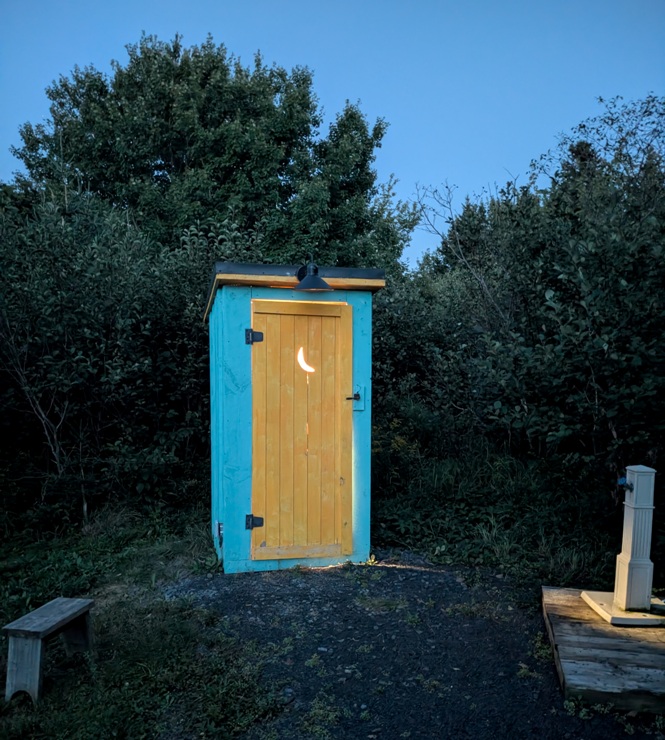
I never met the person that gave us the site. We only communicated via text. I ended up paying her through PayPal later. |
|
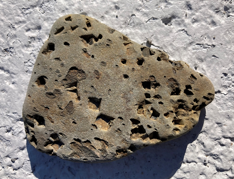
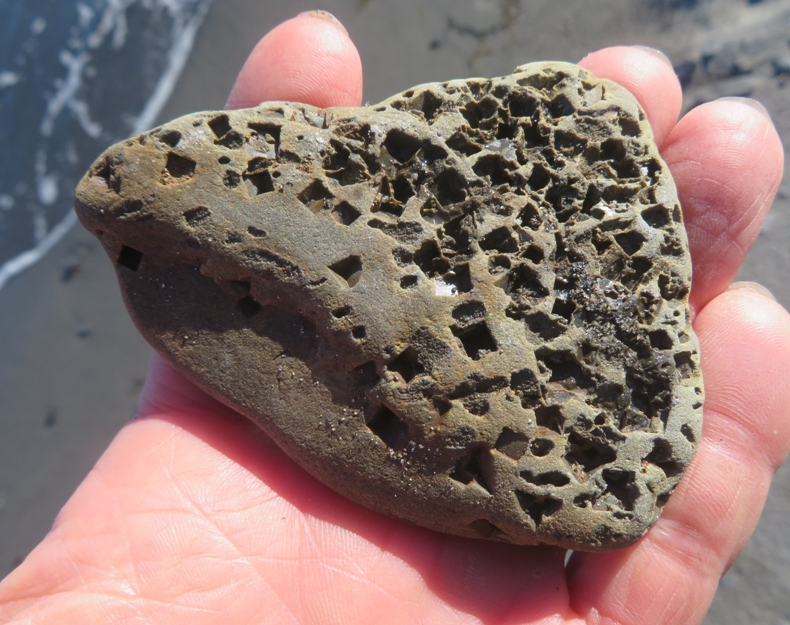
Near the campground, we explored Splinter Beach. Here, I found something most unusual. It was a rock with square holes! I know of no animal that makes square holes so I figured it might be from a mineral, especially since some of these holes reflected light well. Later I found that I was correct...it was made by pyrite. One of the people working at our next destination, Ovens Park, told me this.
Across from the beach was a house with a yard growing huge pumpkins and other vegetables. 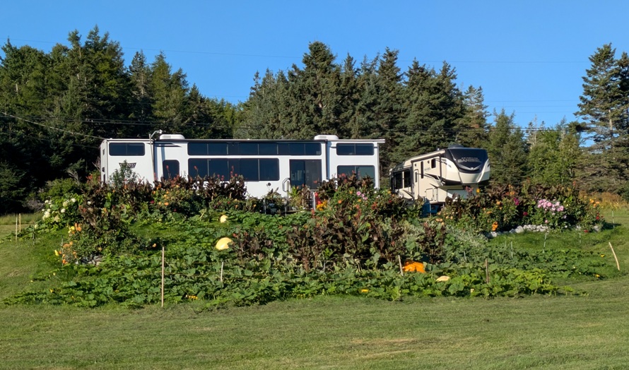
|
|
Our next stop was Ovens Park.
The Ovens. The site of the famous old-time gold rush. Gold was discovered here June 13th 1861. Eighty-two shore claims were worked. Lots on the shore sold as high as 4,800 dollars. From June until December 1861, the Ovens yielded 120,000 [dollars?] in gold without the aid of machinery. A town arose overnight but only lasted six years. - from sign on stone at Ovens Park Near the trailhead, we saw what looked like dumbbells for a giant. Crushing stones from the first Chilean Mill erected here during the gold rush in 1861. - from sign at Ovens Park 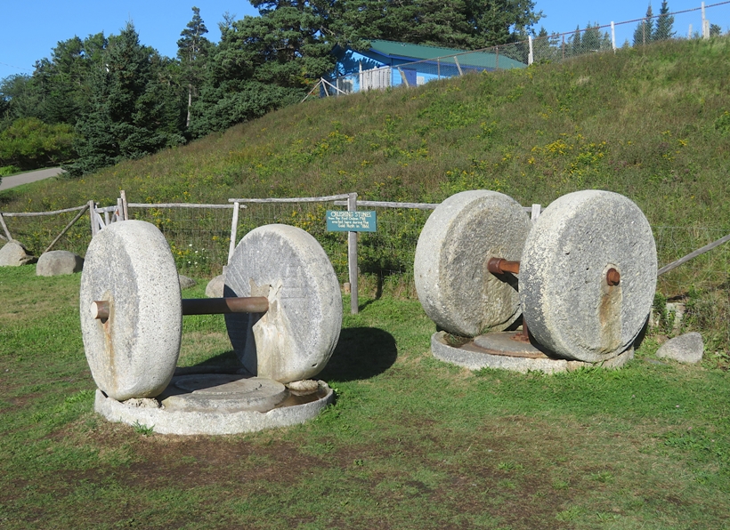
It was cool but we had clear skies with great visibility. 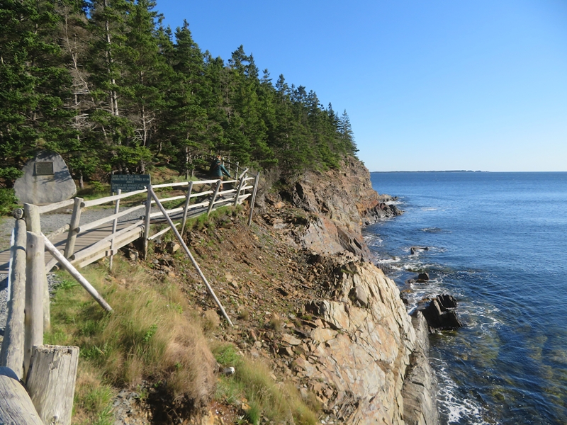
We checked out Tucker's Tunnel. Sometimes water flows in but now it was dry. 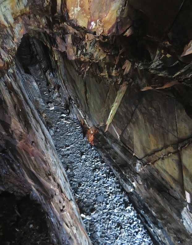
Looking down at the water below, I saw lots of seaweed. 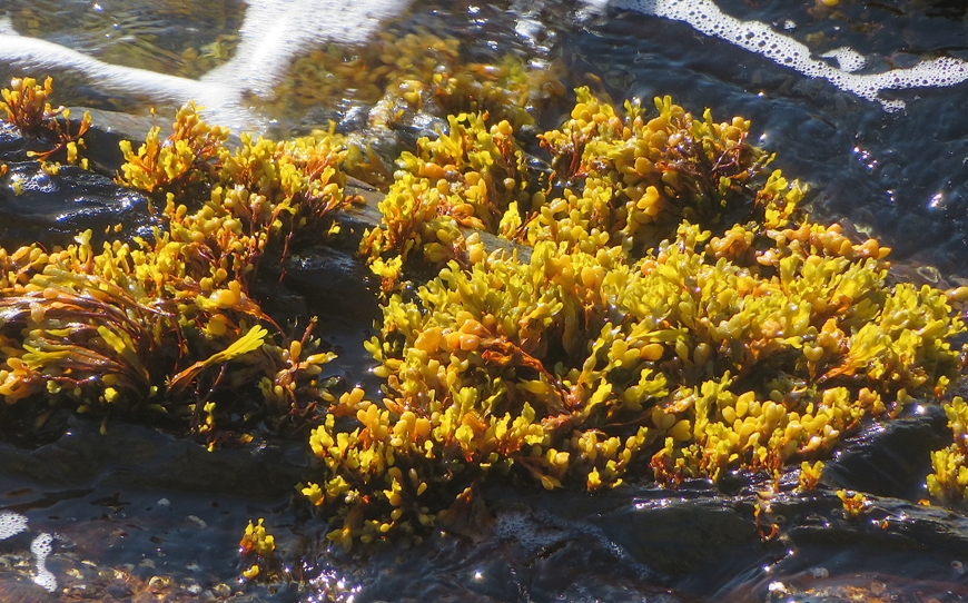
In some places, we could really see how rocks had gotten twisted over time due to geologic movement. 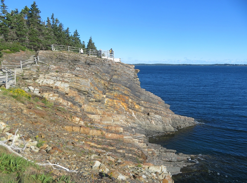
Off in the distance, we saw a guy in a power boat with his bow high up in the air. I don't know much about power boats but this didn't look safe to me. 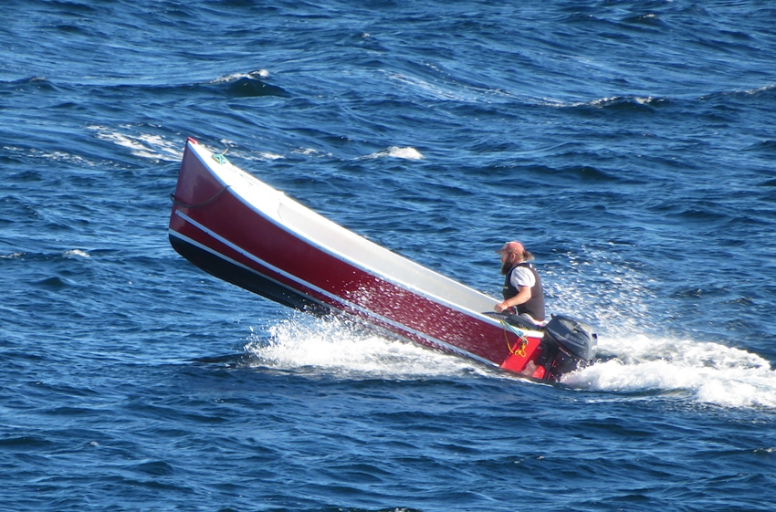
We also saw the Bluenose II leaving Lunenberg. 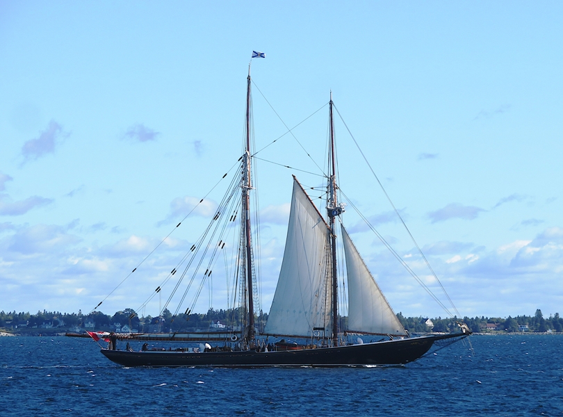
Back at the Ovens Park museum, I saw a huge carcharodon tooth. The fossil "mega-toothed" sharks like Megalodon have also traditionally been placed in Carcharodon, but most current literature refutes this position, placing mega-toothed sharks in a separate family, Otodontidae, and genus, Otodus (Carcharocles). - from Wikipedia - Carcharodon 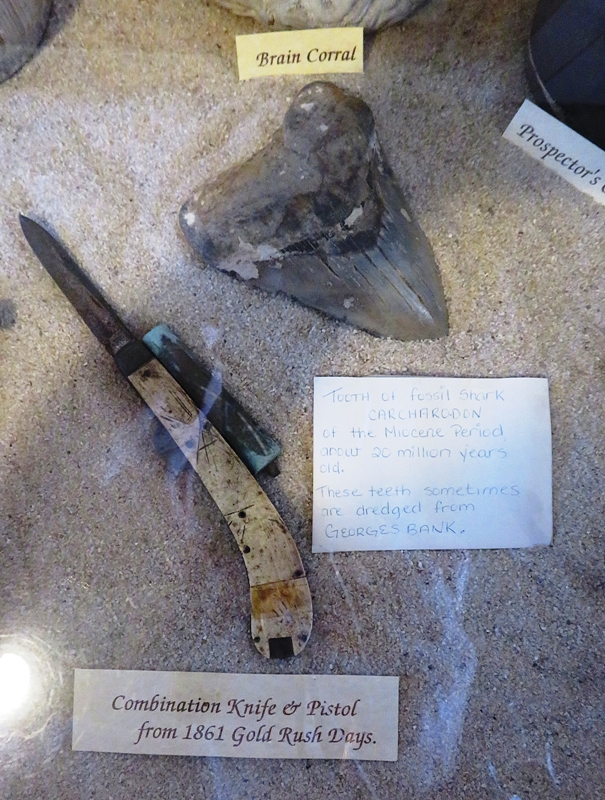
|
|
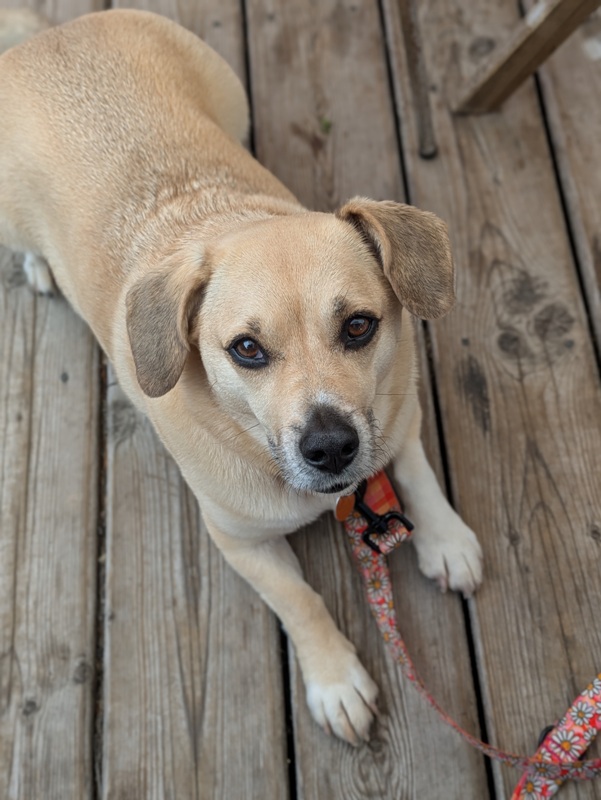
We stopped at the touristy town of Mahone Bay for lunch at Mateus Bistro and a walkabout. Here's Daphne waiting for a handout from our meal. Yes, she did get something. She almost always does.
There was a so-called Aquatic Garden that we checked out. It was just a very small pond with a few water plants, none of which were blooming. The touristy feel of the town reminded me of Saint Michaels in Maryland. Walking along the water, I found some crabs. I think this one is an invasive European green crab. 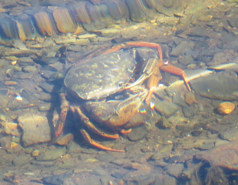
While waiting for Norma, I saw a band-winged meadowhawk dragonfly. 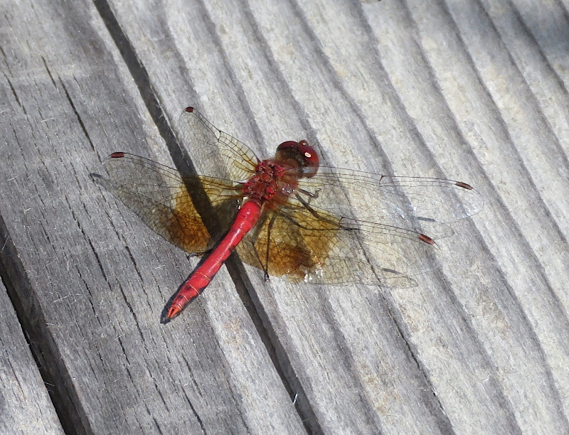
If you stand in the right location, you can see three churches. One is hidden behind the trees below but it is there. 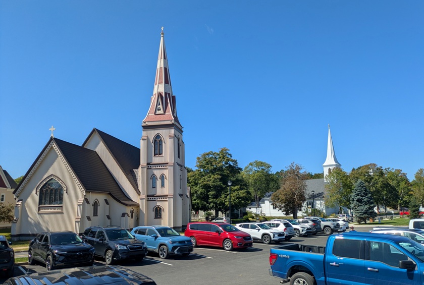
|
|
Our next stop was Halifax, the capital of Nova Scotia.
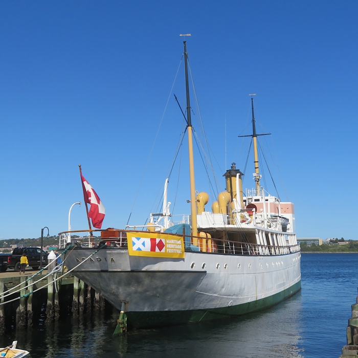
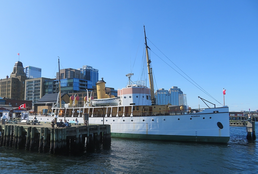
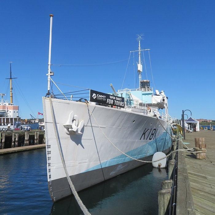
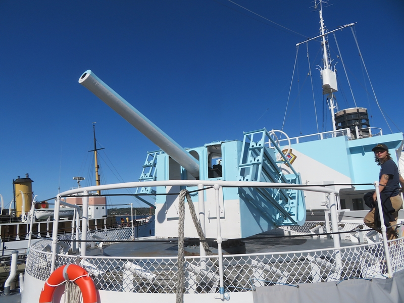
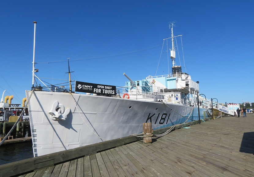
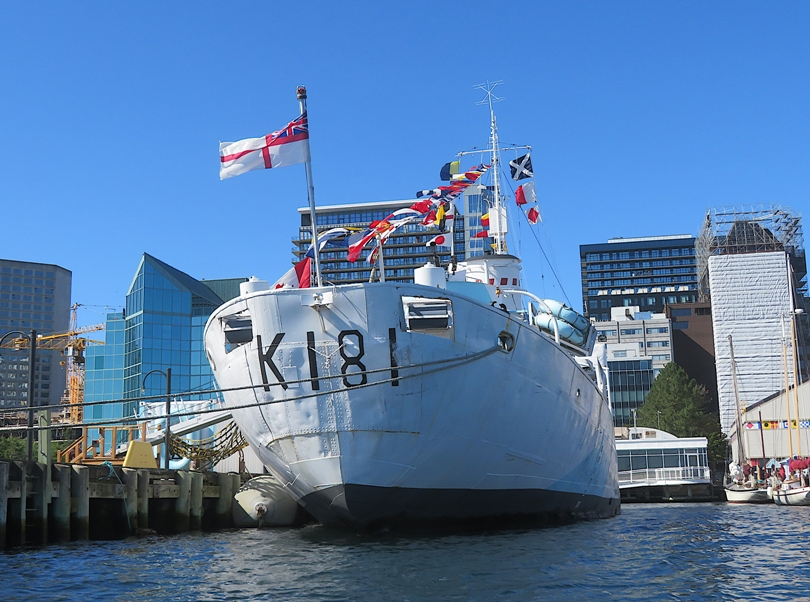
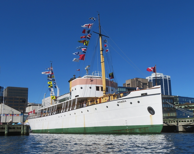
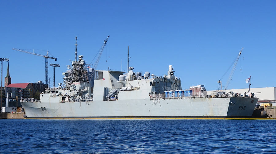
Halifax is a navy creation. It owes its existence largely to its location on one of the largest and deepest ice-free natural harbours in the world, which, over time, made Halifax one of the most important Canadian commercial ports on the Atlantic seaboard. At latitude 44° N, it is nearly halfway between the Equator and the North Pole, giving Halifax a relatively mild winter climate. - from Brittanica - Halifax Like many big cities, driving here can be frustrating. Fortunately, I think the average Canadian is polite and patient. The three of us explored the waterfront area. Naturally, the ships caught my eye. The CSS Acadia is considered the finest Edwardian steel-hulled vessel remaining in the world today. It is a hydrographic and oceanographic survey ship built in 1913. I got to board K181. ...the Flower Class corvette HMCS Sackville arrived in Halifax, Nova Scotia, on 12 January 1942. - from Government of Canada - HMCS Sackville The HMCS Sackville ...served most of the war as a mid-ocean convoy escort in the North Atlantic. - from plaque titled "Sackville" Out in the water, I saw the tall ship Silva, a three-masted schooner. 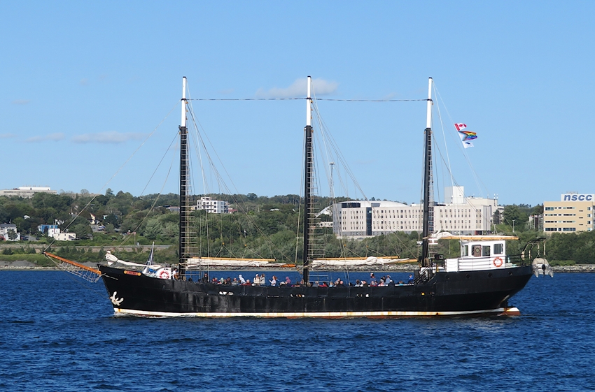
The most unusual boat I saw was the Vincent Coleman, a Halifax transit ferry. Looking far from streamlined, I thought this almost looked like it was designed to be inefficient. Google AI told me Halifax transit ferries are round and symmetrical because they are double-ended vessels designed to shuttle back and forth across Halifax Harbour without ever needing to turn around. 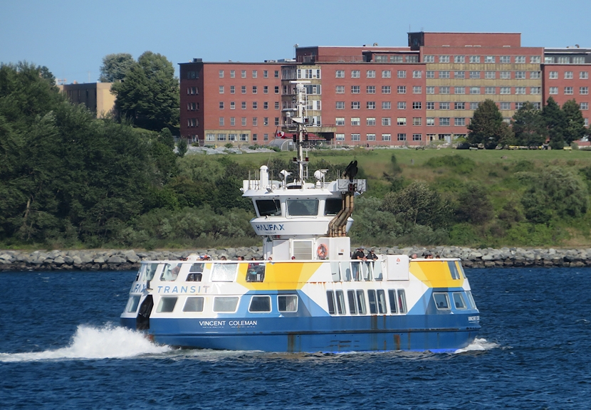
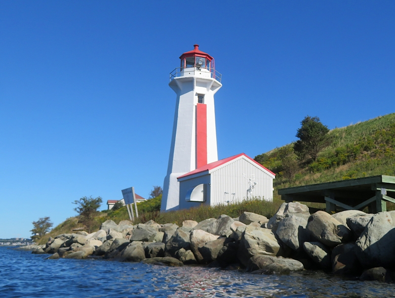
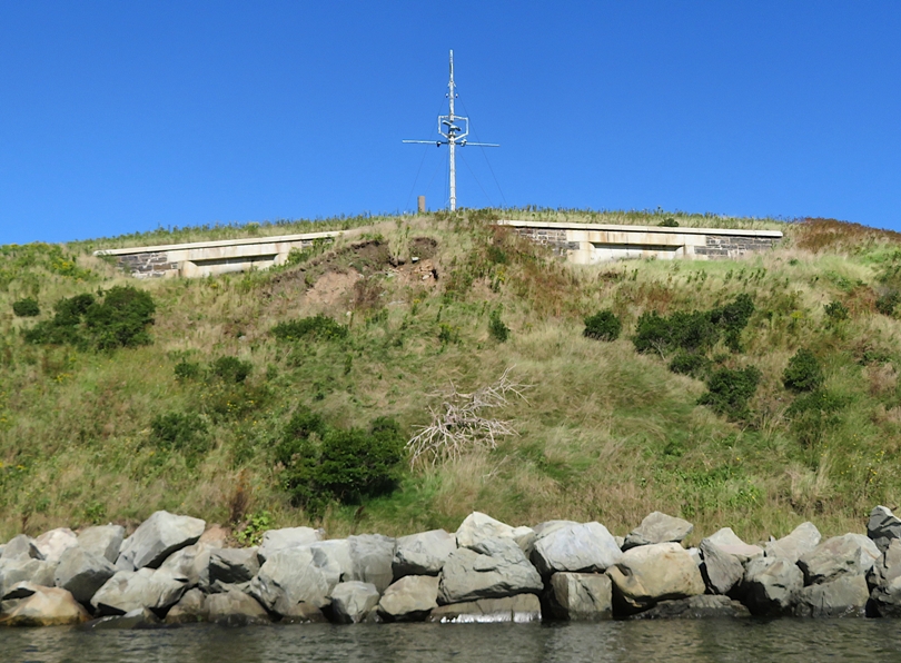
Off in the distance, I saw Georges Island, which houses Fort Charlotte, initially established with an earthwork battery around 1750. 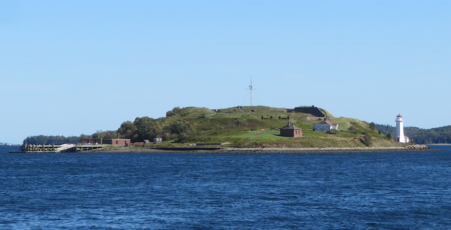
I saw a cat statue that I just had to get a photo of with Daphne. What's the story behind it? Google says Erik the Red was a famous orange tabby cat who served as the official Rodent Control Officer aboard the CSS Acadia at the Maritime Museum of the Atlantic in Halifax, Nova Scotia. 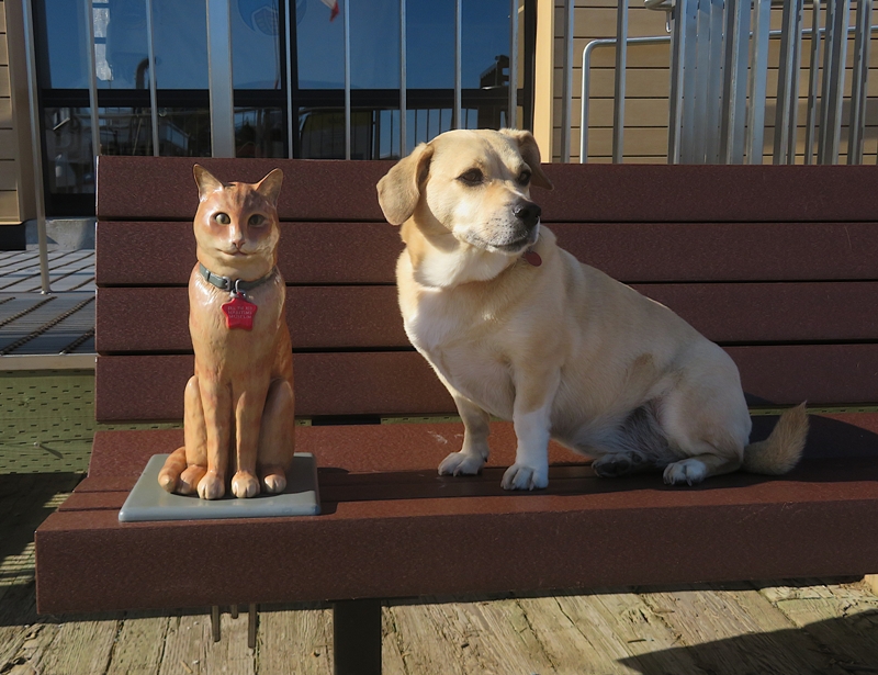
There were plenty of food trucks and lots of activity to prepare for the weekend's second annual Maritime Heritage Festival. I bought a Cuban sandwich which was pretty good. Norma got a pic of me on the Wave, a 3.6-metre-tall ferroconcrete public art sculpture. A sign warned people not to climb on it but many of us did. Nobody seemed to care. 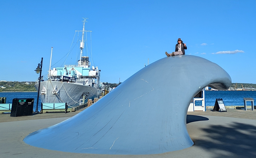
Wanting to get out on the water again, I signed up for a kayak tour the next day with Harbour Watercraft & Adventures. Norma led Daphne and me on a long walk to the Citadel. In the mid-1700's, the British built a fort on the highest hill overlooking the Halifax harbour. With excellent sight lines, thick stone walls, powerful cannons, and even a land moat, the star shaped fortress was so successful that it never did come under attack. - from Great Canadian Bucket List - The Halifax Citadel Unfortunately, the Citadel was closed so we could not enter. But we could walk around the perimeter. 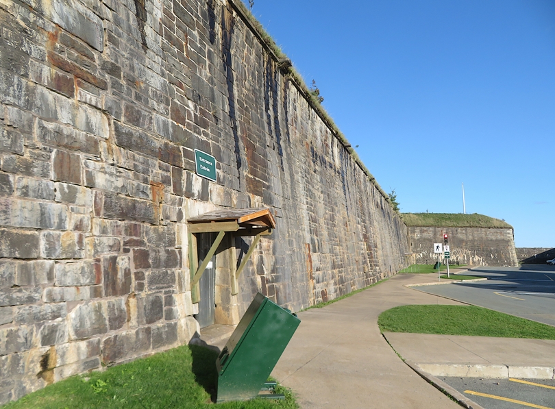
Leaving the area, we had some challenges getting out of the parking garage. Our roof rack carrier is rather tall and came just a couple of inches below some of the concrete beams in the garage. A pipe that hung down from that had to swing forward for us to leave. But we were successful and without damage. We car camped at Shubie Campground that night. Daphne was exhausted. Too much walking. She didn't want to get out of her box that night. I had to lift it out of the car with her still in it. |
|
Next to our campsite was the Shubenacadie Watershed and Collin's Park, which we were told was beautiful. So we went for a little walk to check it out. Daphne had done so much walking yesterday that we let her rest.
The wooded paths with the water views were nice. Up to now, we'd seen a LOT of water but relatively few people out on it in human-powered watercraft. But here, I saw a kayaker and two paddleboarders. The watershed was calm and predictable. Maybe the extreme tidal changes keep a lot of paddlers away from some of the other places we visited. 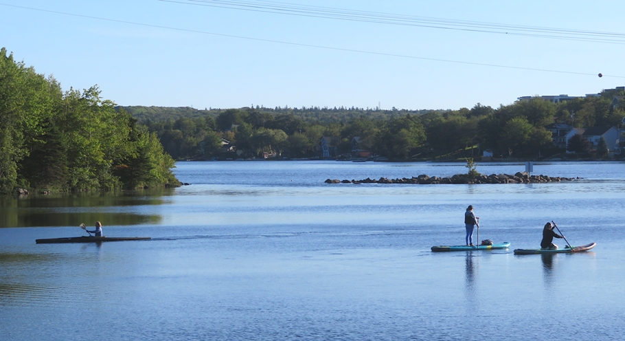
|
|
Back at the waterfront area in Halifax, Daphne and I were ready for some kayaking. Our guide was Jenna, a teacher working on her masters degree in environmental studies. There were two other people on our trip, both from Canada. I exchanged contact info with them so we could share our photos.
Shortly before launching, I saw the Bluenose II sail past. 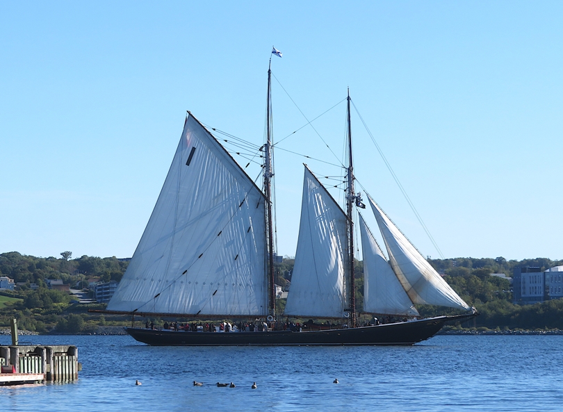
Here's the other kayakers in my group launching. 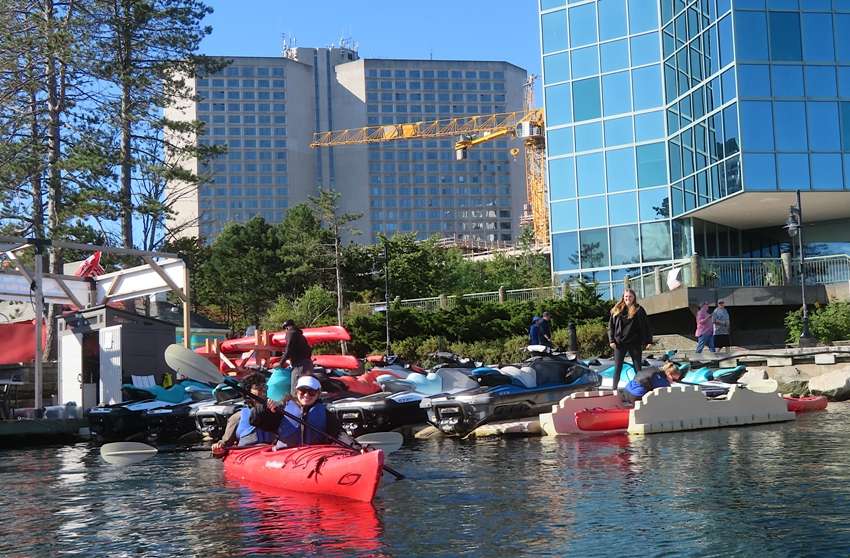
Jenna put Daphne and I in a kayak with a large cockpit so it could easily accommodate Daphne. That worked fine. She could see over the top fairly well. 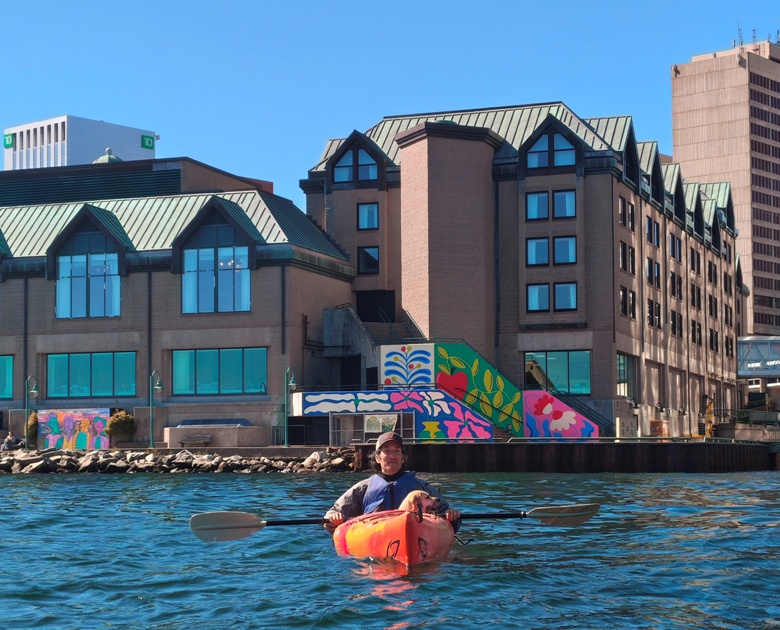
Here's Jenna, Daphne, and me. 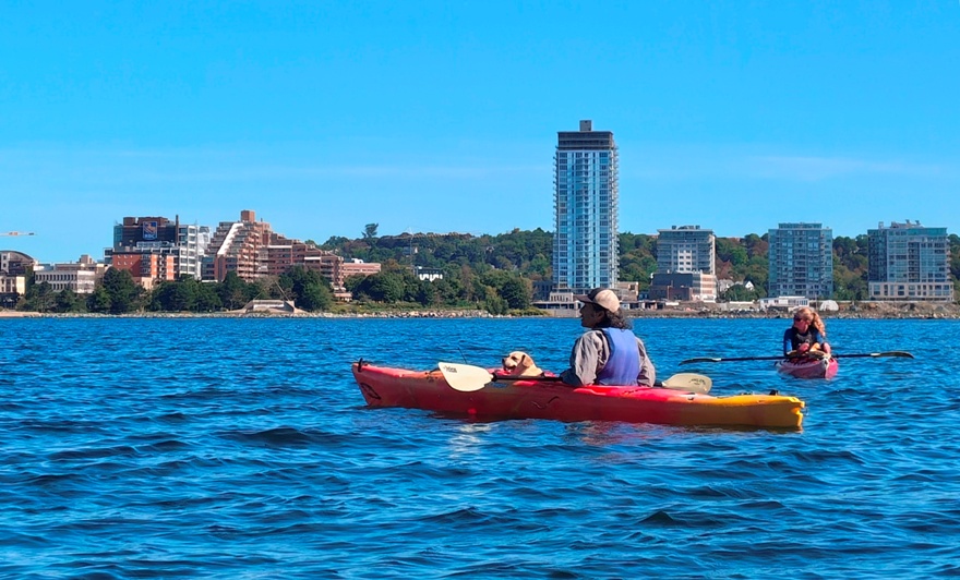
We paddled downstream to Georges Island which we then circumnavigated. Jenna gave us a little history lesson, telling us about the big explosion in Halifax that occurred in 1917 when two ships collided. One was carrying munitions. After realizing the munitions ship Mont-Blanc was going to blow after the collision with the Norwegian vessel SS Imo, Coleman sent frantic messages trying to stop a train full of passengers headed for the city. Moments later came word the message was received, but by then it was too late for Coleman to flee the blast. The explosion killed nearly 2,000 people and injured nearly 9,000 others. The dedication comes shortly after the 100th anniversary of the Halifax Explosion. - from CBC News - Halifax ferry dedicated to Vincent Coleman 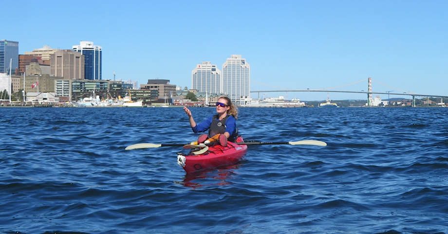
Regarding the story above, note that Vincent Coleman is also the name of the transit ferry I saw yesterday. Back at the waterfront, we paddled by some of the same ships I saw yesterday. We turned around at the Navy Yard. I had a good view of the Angus L. MacDonald suspension bridge. 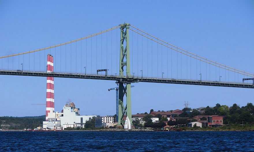
Daphne hasn't spent much time in a single kayak but she did extremely well and folks were really impressed with her. She made me proud. 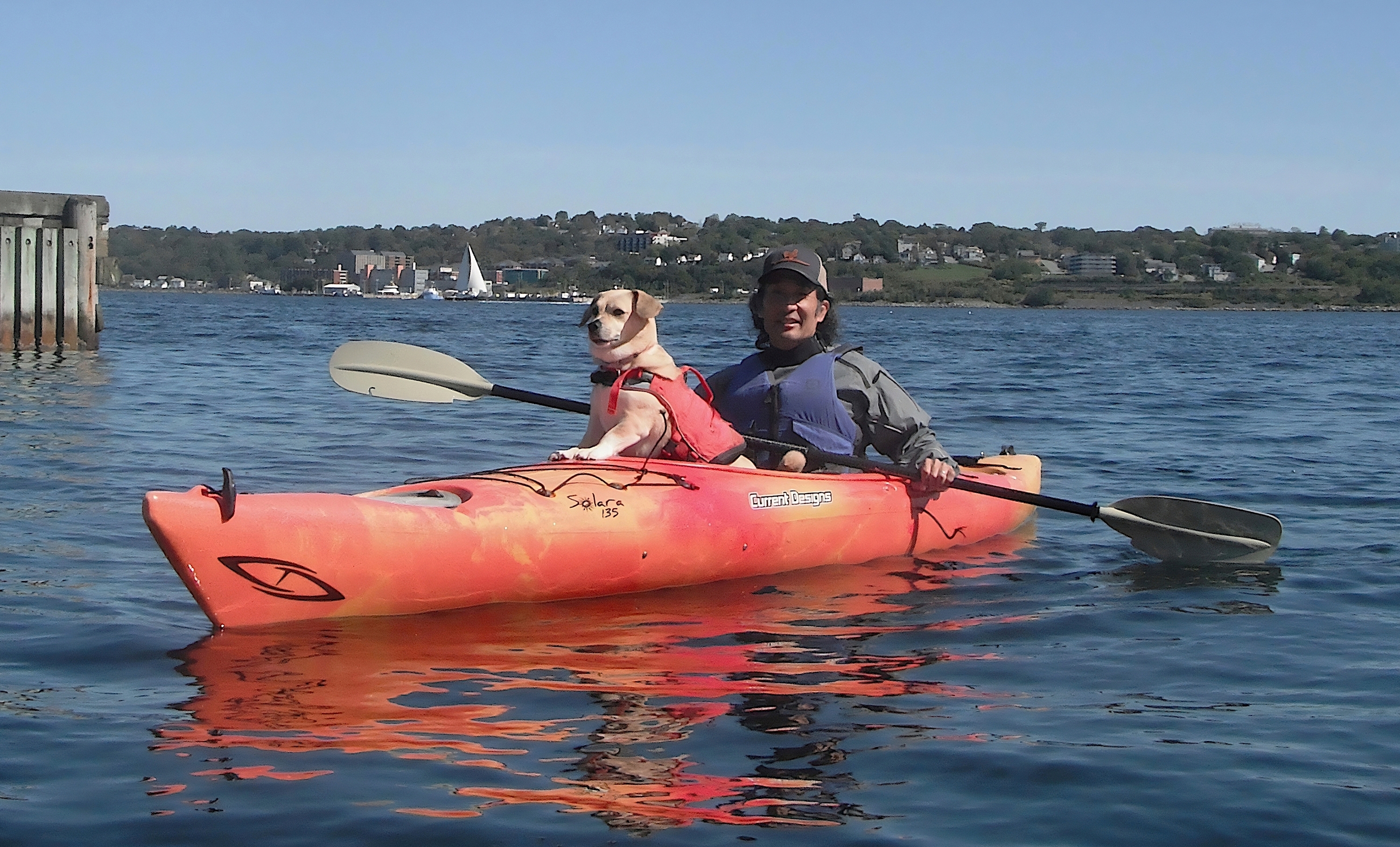
|
|
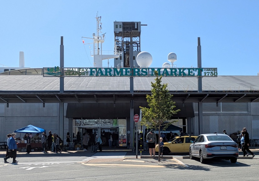
While kayaking, Norma went to Halifax Seaport Farmers Market (shown below) and then the Immigration Museum.
I saw a lot of starfish, especially near the kayak outfitter. 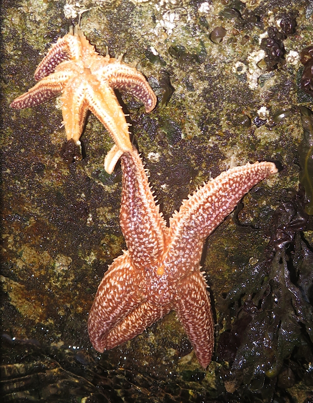
Daphne and I checked out the Maritime Festival and I spoke to various people representing the environment or the navy. I bought some Korean fried chicken and a tasty pomegranate drink. Here's one last view of the waterfront area. 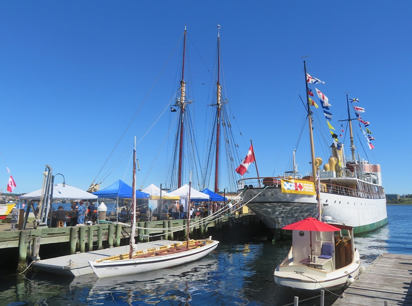
|
|
We left Halifax and drove east to Annapolis Royal which faces the Bay of Fundy.
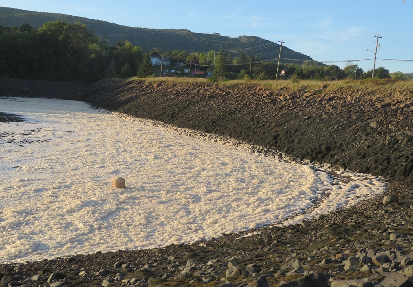
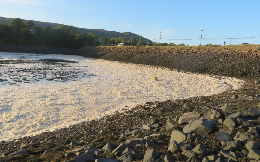
We stopped at a place on the water having acres of foam. This place is the Annapolis Tidal Generating Station. I read a sign a few days ago about it. Only one in the western hemisphere At Annapolis Royal, near the south coast of the Bay of Fundy, is the Annapolis Tidal Generating Station, where a large, 20-megawatt, single turbine has been providing electrical energy to Nova Scotia since 1984. - from sign titled "Fundy Fun Facts" at Truro Tidal Bore Here's where I expect all this foam is coming from. 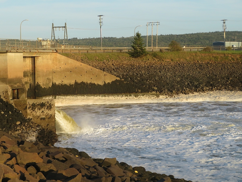
Here's a satellite photo of the area. 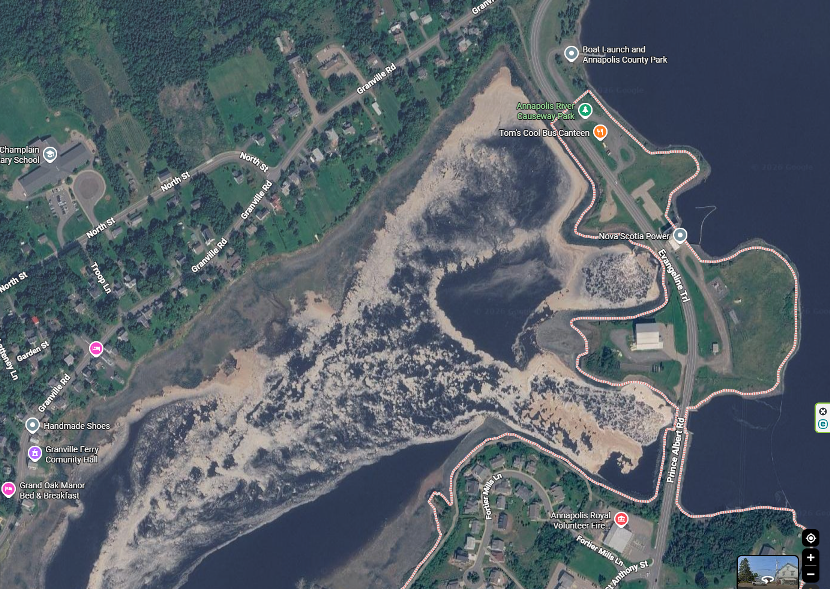
The Bay of Fundy and Annapolis Basin feature some of the highest and fastest-moving tides in the world. As water rushes, changes direction near the causeway, or mixes through local currents and the tidal power plant area, air gets whipped into these organic-rich compounds, creating thick layers of foam. - from Google AI |
|
We checked into the Dunromin campground and got washed up. We were the only ones at our waterfront tent site.
The three of us headed out to the Annapolis Brewing Company. Our waitress was a pretty serious paddleboarder. 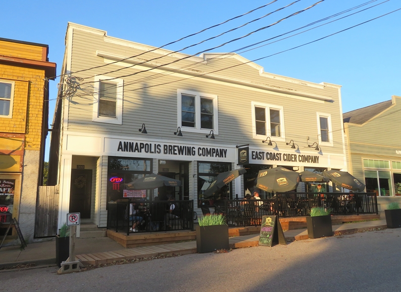
Across the street, we saw the flag of Acadia flying. Their history here is interesting and tragic. Acadians have a long history in Nova Scotia that began more than 400 years ago with the arrival of the first European settlers. In 1605, they established a settlement at Port Royal, in what would become known as Acadie. From 1755 to 1763, the British uprooted and deported the Acadian population. Between 10,000 and 18,000 Acadians were displaced during the Great Upheaval, or Grand Dérangement. More than 6,000 were dispersed among the 13 American colonies [many became Cajuns in Louisiana]. Up to a quarter of the population escaped into French territory. Approximately 3,000 were deported to France when the British captured Fortress Louisbourg in 1758. - from Acadian Affairs and Francophonie 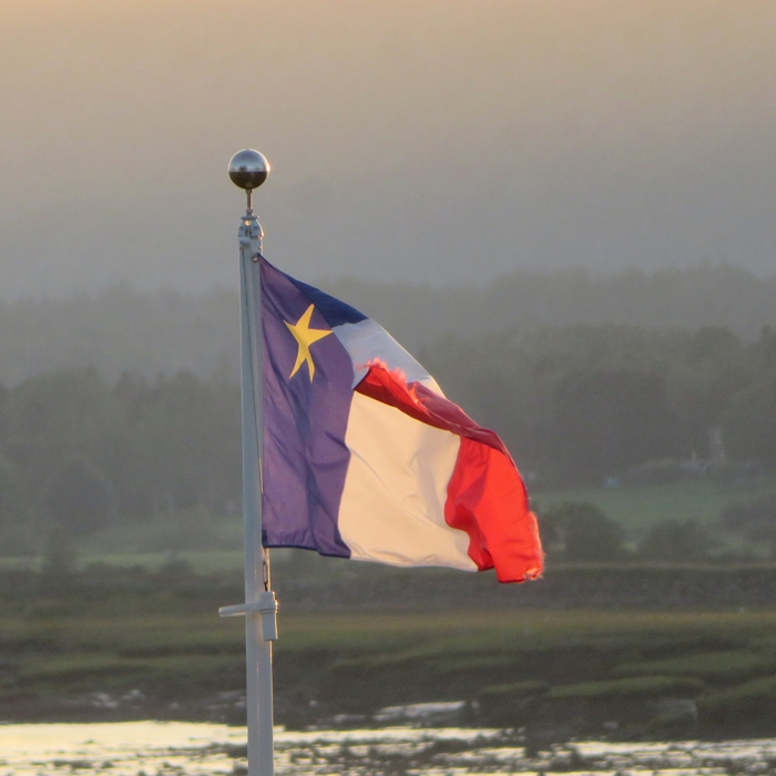
|
|
We stopped again to take a look at the Annapolis Tidal Generating Station. This time, the water was much higher. Things were still foamy.
In Annapolis Royal, we toured Fort Anne. The site was the location of Charles Fort, settled in 1629-32 by settlers led by Sir William Alexander as part of his plan for a New Scotland [hence the name Nova Scotia]. Charles de Menou D'Aulnay brought Acadian settlers to the area in 1636, making the site his Port-Royal headquarters. Acadians began their distinctive dykeland agriculture here. The French governed Acadie from successive forts on the site until 1710. From 1713 to 1749, the British governed Nova Scotia from the fort, re-named Annapolis Royal. The Deportation of the Acadians from Annapolis Royal, and the settlement of New England Planters and of Loyalists were all organized from the site during the 18th century. - from Parks Canada - Fort Anne National Historic Site of Canada Not original cannons. 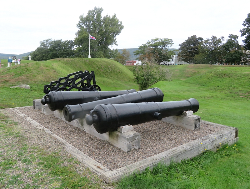
Here's a French powder magazine. This small sturdy building is the only surviving building from the French period. Built to last, it replaced the "Black Hole," which was too damp for storing gunpowder and munitions. - from sign titled "French Powder Magazine" 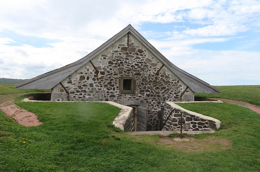
This is the Officers' Quarters. The Officers' Quarters was restored in the 1930s and has housed museum exhibits ever since. It has been at the centre of community efforts to collect, preserve and commemorate local and national history. - from sign titled "Welcome to the Officers' Quarters" 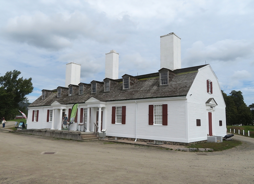
We had breakfast across the street at the German Bakery. |
|
We drove southwest to the town of Digby. Norma timed our visit so it didn't coincide with motorcycle week.
What is Digby known for? Scallops. Digby scallops are sea scallops...that have become one of the most valuable commercial shellfish products in Canada. This sweet, rich seafood delicacy is savoured all over the world. - from sign titled "The Digby Scallop" 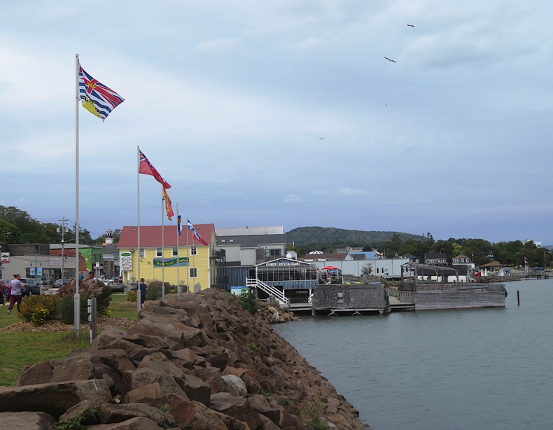
The three of us checked out their farmers market. Like our Savage Farmers Market, this place had a musician. But it had more of the feel of a craft market than an actual farmers market. Here's part of the market and the Digby Pier Lighthouse, both on the right. 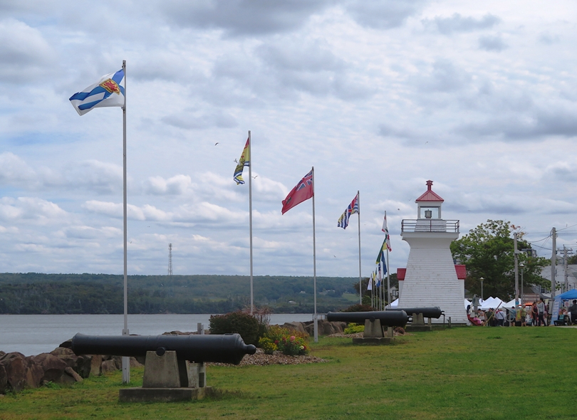
Norma, Daphne, and I walked around town and checked out the boats. 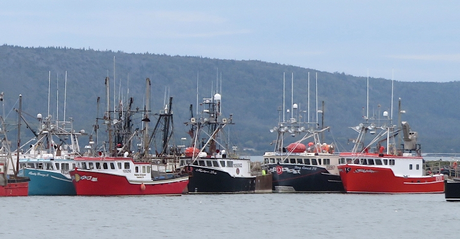
Here's what I learned from Grok AI about one particular lobster boat, shown below. On Nova Scotia Cape Island-style lobster boats like this one, the open working deck aft of the cabin is used to stack large numbers of wooden or wire lobster traps. The tall upright aluminum grid/panel (with horizontal and vertical bars) serves several practical purposes: 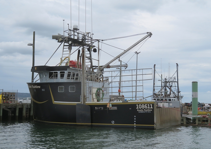
We ate at Dockside. I had the lobster roll which was o.k. I'm not a huge lobster fan but I don't mind it. It didn't have a lot of flavor but that was fine because I was more interested in tasting the lobster than the spices. All the workers appeared to be first nations people. |
|
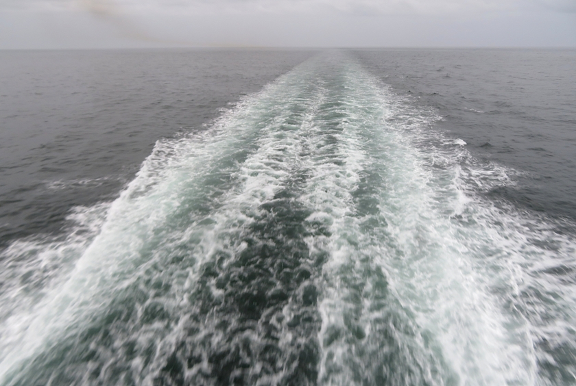
We drove to the ferry. It was a long wait to board followed by a two plus hour ride from Digby to Saint John. Pretty calm water meant I could write while the boat moved.
|
|
We drove all night to make it back to Maryland in the morning.
No problems crossing over the border back into the U.S. We expected to be asked about how much we spent on gifts or what agricultural products we were bringing back but that never came up. In Maine, there were two large raccoons in the middle of the unlit road. Unfortunately, I hit one of them. That was the only mishap. Driving through the big cities wasn't much of a problem but we did have to pass through Baltimore during rush hour. I took the day off to mow and get the car cleaned up. That night, we slept well. 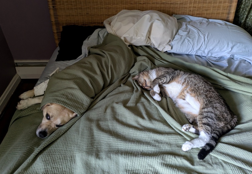
|
|
Norma did a fantastic job planning this trip. What made it particularly challenging was timing things with the tide because so many of our stops were tide dependent.
While we didn't visit, we learnt that Burntcoat Head in the Bay of Fundy's Minas Basin in Nova Scotia has the greatest recorded difference between high and low tide...53.6 feet (16.3 meters), a record set in 1975 and recognized by the Guinness Book of World Records. Just knowing someplace like this exists near where we were is impressive. What did we like about this trip? What didn't we like? Canada is a huge country. I'm sure we will return, maybe to explore the western side. I look forward to that. |