|
This page is about the October 9-10, 2026 WatersEdge Kayak/Camp the Pocomoke River (Milburn Landing) #12, 2026. |

|
This page is about the October 9-10, 2026 WatersEdge Kayak/Camp the Pocomoke River (Milburn Landing) #12, 2026. |
|
It had been a long time since Norma and I paddled on the Pocomoke River. I have many fine memories there. So when I heard that the WatersEdge group was doing a car camper weekend, I made sure to sign us up.
I read that Dr. Greg planned to launch on the Pocomoke River from Milburn Landing between 1400 and 1430. Norma, Daphne, and I wanted to join him so we left the house a little after 1100. Google Maps took me on a circuitous route to get there. We ended up getting caught behind a funeral and some slow drivers. We arrived a little late and the group had already taken off. I knew they were heading downstream so we unloaded the boat quickly with the hope that we could catch up.  |
|
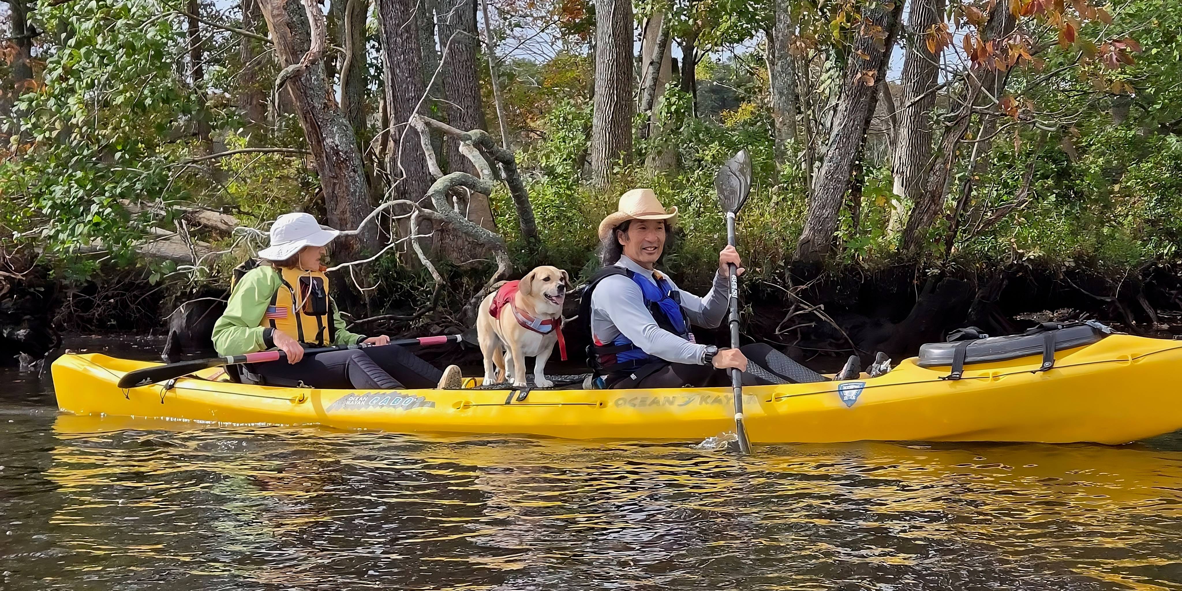
This was the first time I carried the Ocean Kayak Cabo on my Subaru Outback. The roof is much higher than my Impreza so I added Yakima Boat Loader Extension for Round Bars so Norma didn't have to lift such a heavy weight over her head. It seemed to work well.
Norma and I unloaded the Cabo, got everything set up, and were on the water by 1420. We hurried to try and catch the group. We ran into Dr. Greg and Cheryl paddling back to the launch site. The rest of the group was still heading downstream but we weren't able to catch up with them until they too headed back. The river was looking very scenic but also a bit wide. Norma and I decided to continue paddling downstream after seeing the group and look for smaller waterways or anything off the beaten path to explore. That's usually where we find the most interesting stuff. Fortunately, all the bald cypress trees made little islands that created narrow paths where we could take our time and feel like we were deep in a swamp. We were not but sometimes it felt like we were. 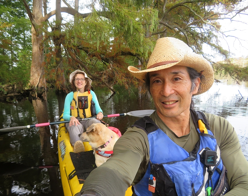
The water was cool and it wasn't very sunny. It was a little late in the year to be seeing wildlife but we did manage to see some great blue herons and a belted kingfisher. 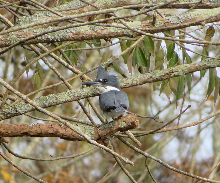
Since I was so eager to get out on the water quickly, I didn't bother to bring my GPS but I reckon we paddled seven or eight miles. |
|
We set up our campsite. A very friendly and outgoing campground host, John, came by to greet us. He saw my bumper stickers and asked about my time in the Marines. Our enlistments overlapped a bit and we both served in 81mm mortar platoons. He went on to join the Army and spend a ridiculous amount of time in (I thought he said 40 years) until he retired.
We met at Dr. Greg's campsite for the WatersEdge potluck. Norma made a delicious Romano bean/tomato/pepper side dish and I brought a couple bags of firewood and got the fire started. There were several tasty dishes and about 25 attendees. Norma, Daphne, and I slept on an air mattress in the car. This has become our modus operandi for car camping. |
|
Norma, Daphne, and I drove out to Snow Hill to pick up some coffee for Norma. Then we went to Shad Landing on the Pocomoke River. Most of the rest of our group was there. Some of the more hardy people in our group started from the Milburn campground...not the ramp, but rather a spot near site M32. This meant they had to paddle ~3.5 miles to get to Shad Landing.
Some of us put in at the boat ramp. Others put in at a low area west of the marina building. 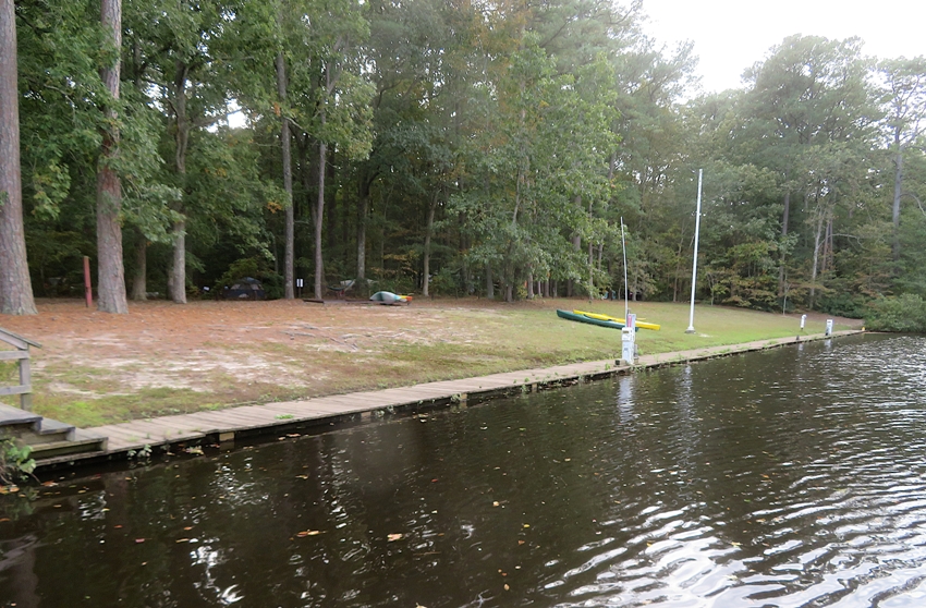
We were on the water ~1000. One thing that really stands out in this area are all the bald cypress trees. Bald cypress trees are deciduous trees with needle-like leaves. They can grow up to 120 feet tall and live up to 600 years. The trees are most easily recognized by their "knees" and buttressed trunks. It is believed the knees serve as an oxygen supply to the submerged root system and help protect the trees from high wind and unstable environments. - from Maryland DNR - Southern Exposure: The Great Cypress Swamp at Pocomoke River State Park 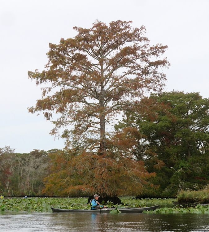
It didn't take long before the kayakers that started from Milburn caught up with us. Here's Jessica, John, and Mary. 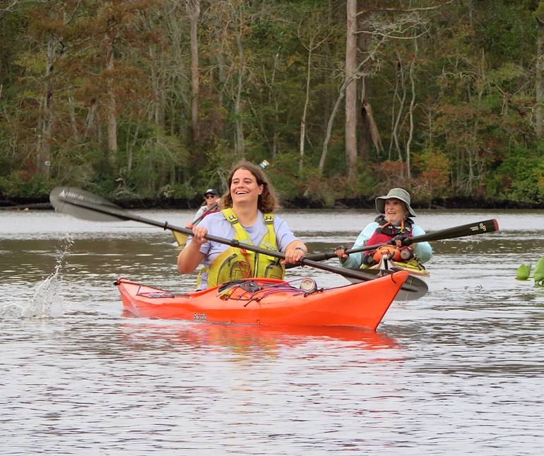
Eventually, we started paddling up Nassawango Creek. There are few waterways in Maryland that are as beautiful as this one. 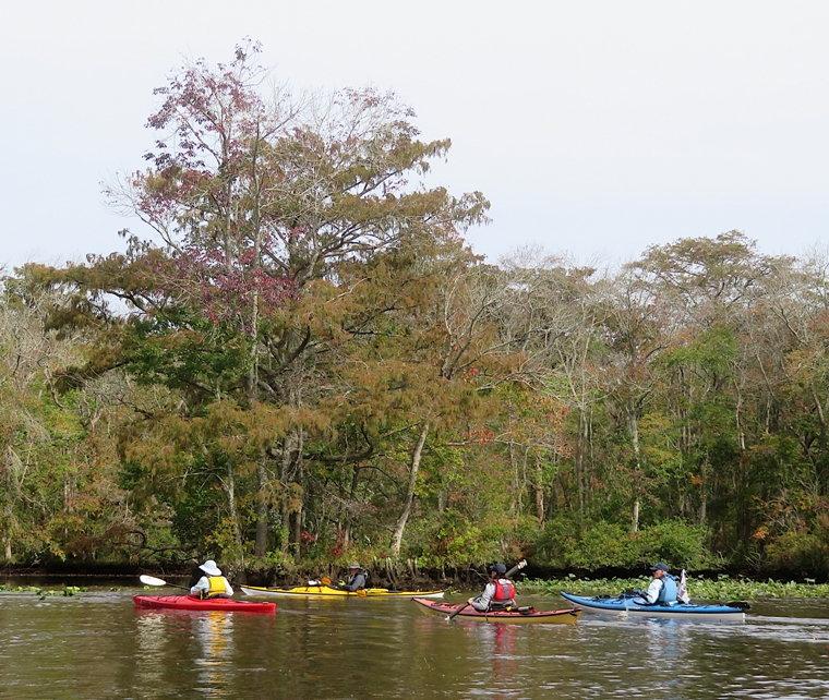
Here's a pic that Charley took of the three of us enjoying the day. 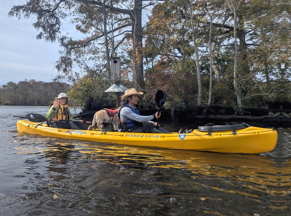
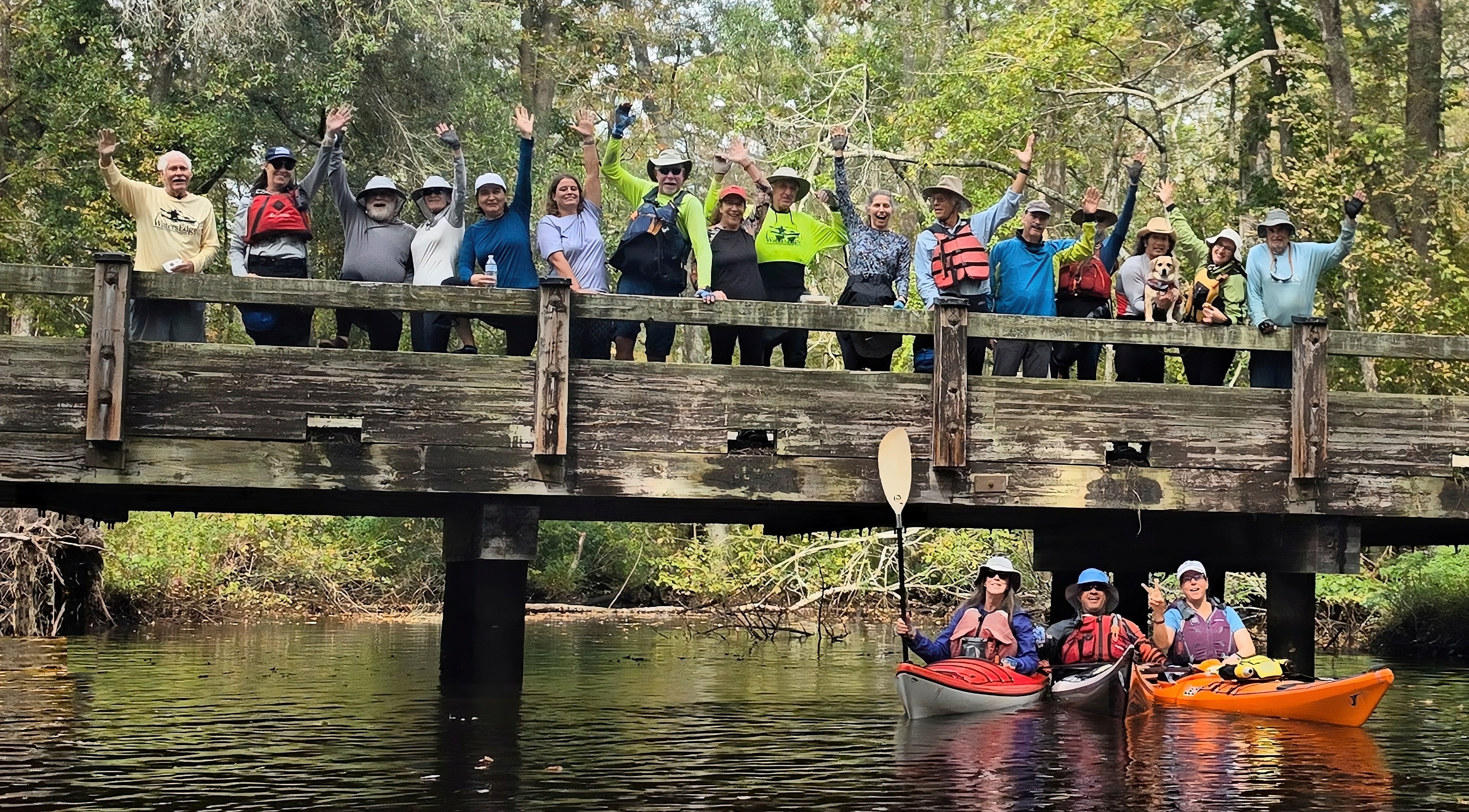
Mary took a similar snapshot that appears at the top of the page. It was mostly cloudy but once in awhile, the sun poked its head out. We stopped for lunch at Red House Road. Most of us got out of our boats but a few stayed in the water, as shown in the pic at the bottom of the page. Here's Will stretching while most of the rest of us ate and took a break on land. 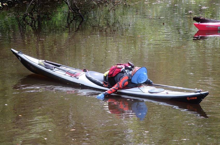
At 76 pounds, our tandem was cumbersome to pull out of the water at Red House Road. Fortunately, I always carry some rope so it was easy to simply tie up near the bridge and go ashore. I found an information sign mentioning that pitcher plants live in the area. Winding in a northerly direction from the Pocomoke River, the Nassawango Preserve has over 10,000 acres and straddles Worcester and Wicomico counties. The Nassawango/Pocomoke watersheds are home to one of the northern most bald cypress bottomland swamps in the nation. This area has been described as being the northern extension of the Great Dismal Swamp of North Carolina and Virginia and has many similar habitats. This coupled with the fact that the preserve is the northern and southern limits of many species makes this area very rich ecologically. There are over 20 species of warblers and numerous other neo-tropical birds within the watershed. The preserve is home to 90 species of rare and endangered plants and animals. Habitat types vary widely including cypress/gum swamps, stands of Atlantic White Cedar and open bogs populated with pitcher plant. - from sign on Red House Road titled "The Nature Conservancy's Nassawango Creek Preserve" Looking upstream, it would have been difficult to continue further up Nassawango Creek. One would need cutting tools. After our break, we paddled back downstream on the Nassawango. We passed under Nassawango Road. 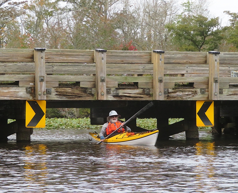
Most of us paddled ~11.4 miles. The hardy group did an additional seven for an impressive total of ~18.4 miles. 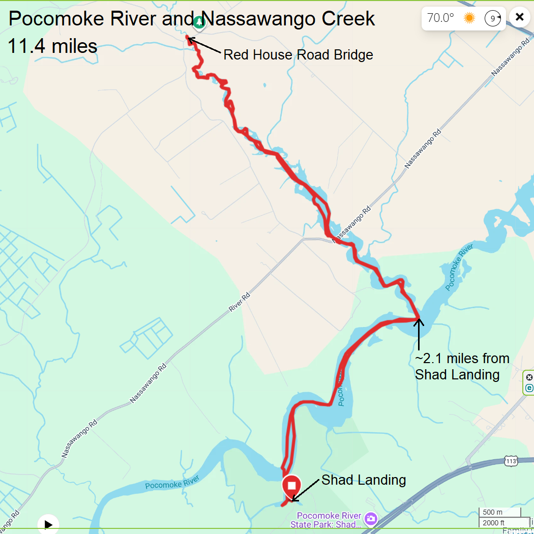
|
|
After loading up our boat and helping others do the same, Norma and I bought ice cream at the marina building near the Shad Landing ramp.
Daphne didn't get a chance to move around much so we took her on a short walk around the nearby pond just southeast of the ramp. We didn't see any reptiles while kayaking but we did see a turtle sunning itself at the pond. 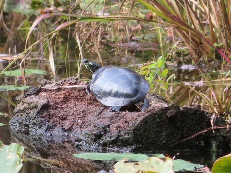
Most of the spatterdock flowers had already gone to seed but a few were still in full bloom. 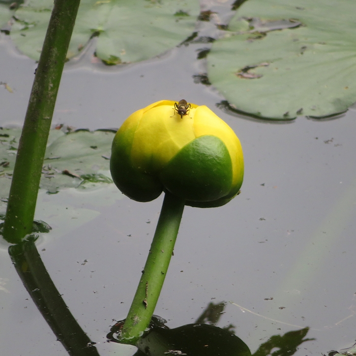
|
|
For dinner, many of us met at Oaked 110 in Snow Hill. I had the smoked whiskey burger with sweet potato fries and Norma had the teriyaki salmon bowl.
The original plan was to paddle on Sunday, but with one to two inches of rain and high winds forecast for the next day, most all of us decided to head home. It was good to get out on the water and spend time with the group, even if it was a short weekend. |