|
This page describes my hiking adventures in 2017. |

|
This page describes my hiking adventures in 2017. |
|
Norma and I took her intern, Lotte, and Lotte's boyfriend, Aaron, to Calvert County for the day. We spent time at Flag Ponds Park and the Calvert Marine Museum.
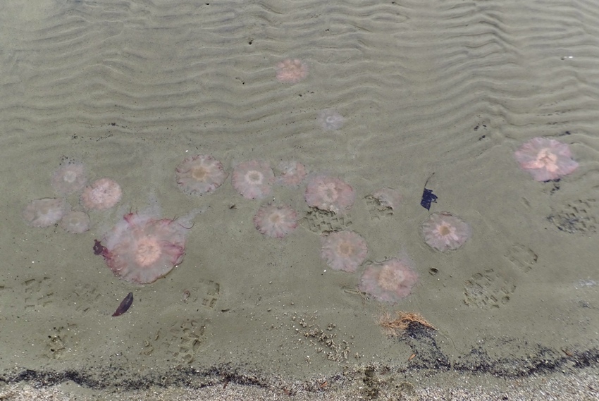
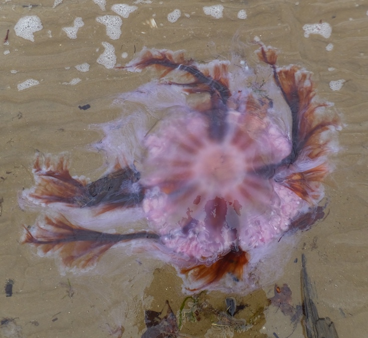
After picking them up at the Metro, we drove to Flag Ponds Park. It rained on the drive out but stopped shortly before we arrived. It was about an hour after low tide so I thought it would be good to look for fossils. We found quite a few pieces of coral (Astrhelia palmata), some ray dental plate fragments, and very few shark teeth...maybe five for all of us. I also found some large scallop shells. But what we did find in abundance were jellyfish. There were dozens trapped in the shallow areas. Some were very colorful. Next, we walked on a trail near Duncan's Pond. We were planning on doing a short circuit walk out to Richardson's Pond but the trail was closed. Perhaps it was because some of the boardwalk was in need of repair. I was hoping to do more hiking but we had limited time. We drove south to Solomons Island and ate lunch at Stoney's Striped Rock. After our meal, we paid a visit to The Calvert Marine Museum which was very close. I expected something small and simple but the place was very impressive. I highly recommend anyone not from the area to pay a visit. You'll really develop an appreciation for the Chesapeake Bay. They have a tank holding several rays and skates. Here I read how cownose ray jaws and dental plates are used for crushing food. The jaws of some rays contain mineralized cartilage and have structural struts, called trabeculae, which add tremendous strength. This engineering marvel is identical in function to how struts support bridges. In addition to the struts, they have strong ligaments that bind the jaws together. By alternately tightening and loosening the ligaments on each side of the jaw, tremendous pressure is applied to the prey as the jaw acts as a fulcrum. This is identical to how a nutcracker works, thus they use struts and leverage to shatter their prey. - from information sign at Calvert Marine Museum Below is a cownose ray jaw and dental plate. 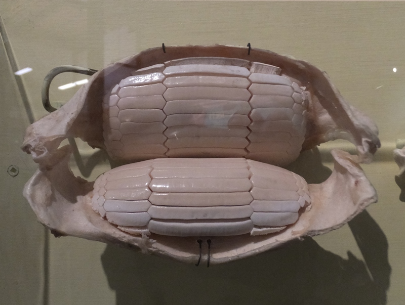
A map at the museum shows the summer distribution of cownose rays. Different colors represent the probability of viewing a ray with red being high, orange moderate, and yellow low. Red circles with a white star indicates optimal locations for viewing rays. When is the best time to see them in the Chesapeake Bay? Late May or early June is good. [Cownose rays] Visit the lower and middle Chesapeake Bay from May to October, traveling as far north as Kent Island. Males leave the Bay in June-July for offshore waters. Females remain in the Bay until autumn, when they leave the estuary and migrate together with males to southern coastal waters. Mating takes place in June or July each summer. After mating, male cownose rays leave the Bay while females stay until October. - from Chesapeake Bay Program - Cownose Ray 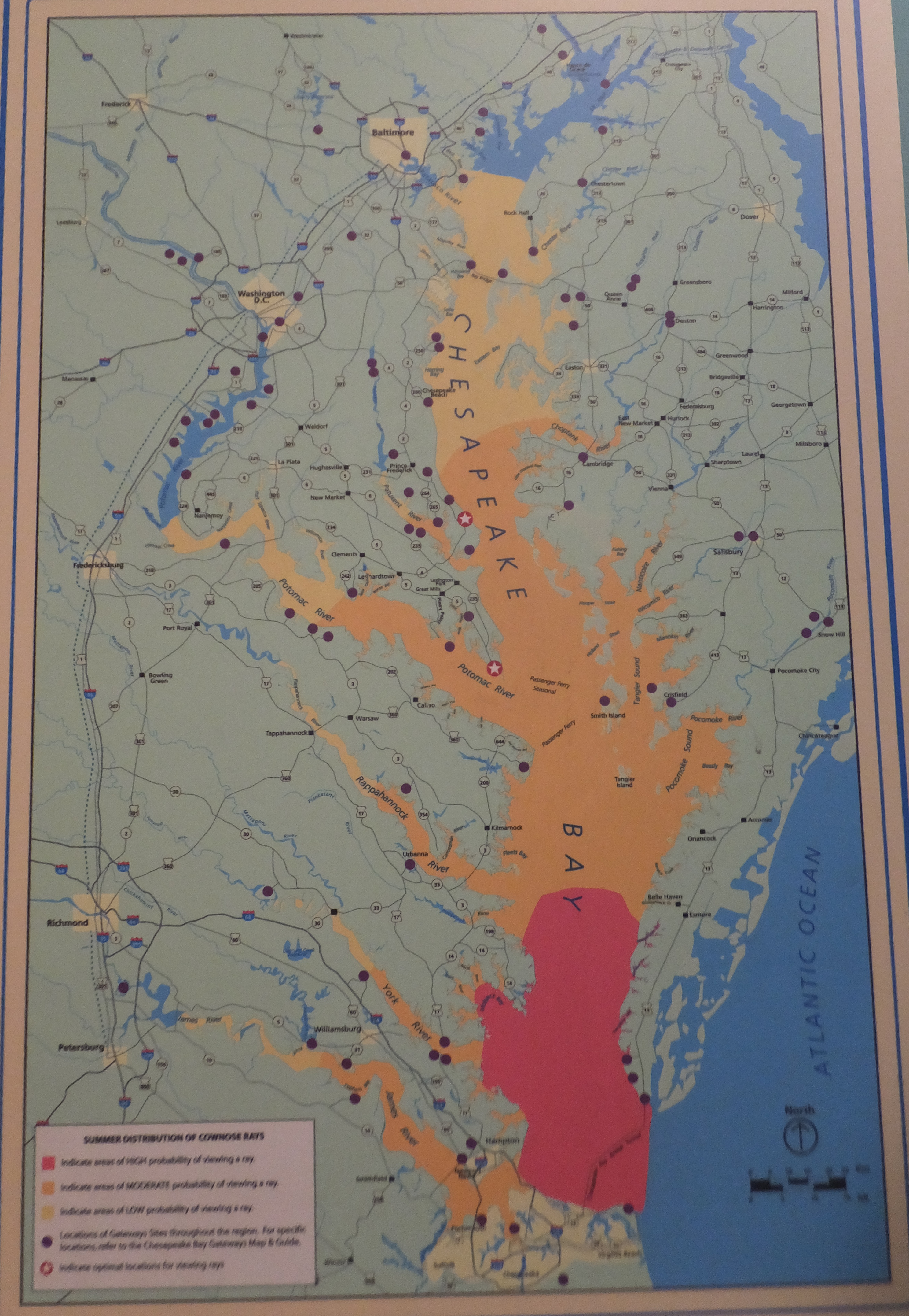
In another section, several native aquatic animals were on display including the diamondback terrapin which is the University of Maryland College Park mascot. 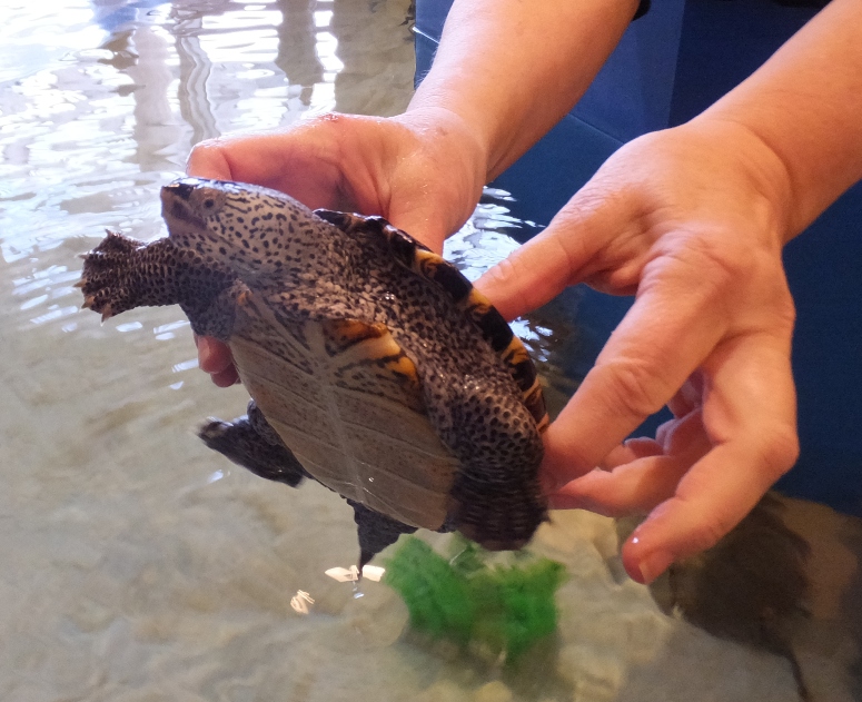
For a long time, it has been my goal to find the tooth of a Carcharocles megalodon shark. Several teeth from this fish have been found in Calvert County. It is considered the holy grail of shark tooth hunters such as myself. [Megalodon] lived between 25 million and 2 million years ago. [It was] the ultimate underwater super-predator...reaching over 50 feet in length, 50 tons in weight, and with gaping jaws lined with sharp serrated teeth. The largest known teeth of megalodon are seven inches long. - from information sign at Calvert Marine Museum 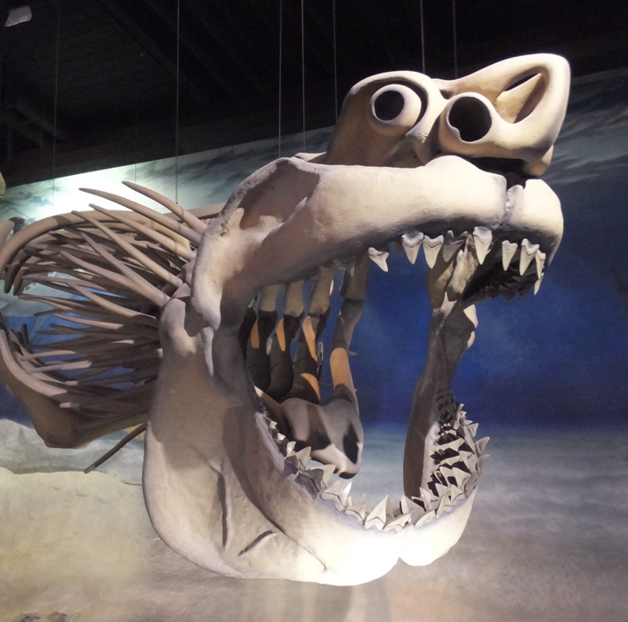
At the museum, we saw Drum Point Lighthouse, built in 1883. 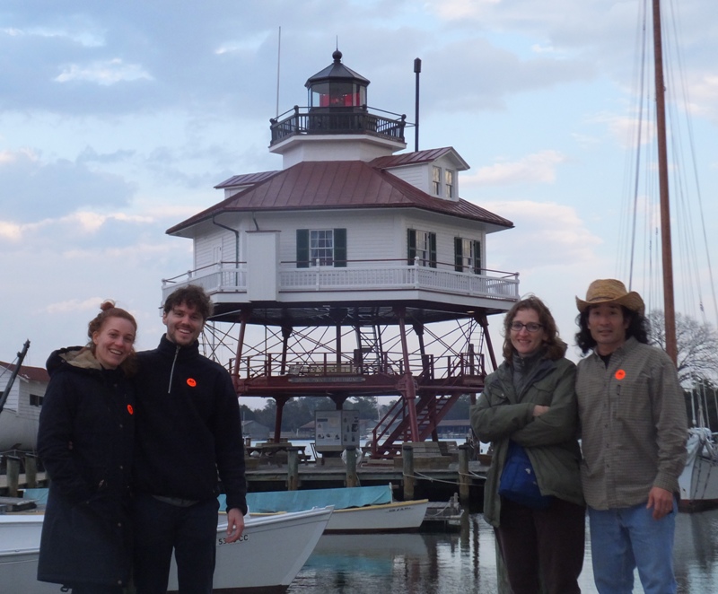
Driving back, it started to rain again. But somehow, we managed to stay dry all day. When we got home, I cleaned up all the stuff we collected along the beach [shown below]. The large scallop shells we found prompted me to learn more about them. 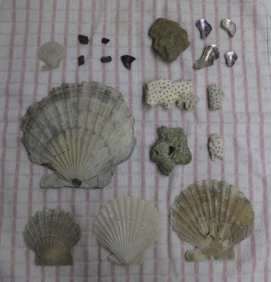
Later, Lotte sent me a picture of the shark tooth I gave her and Aaron. Google Image Search thinks it is from a snaggletooth shark. 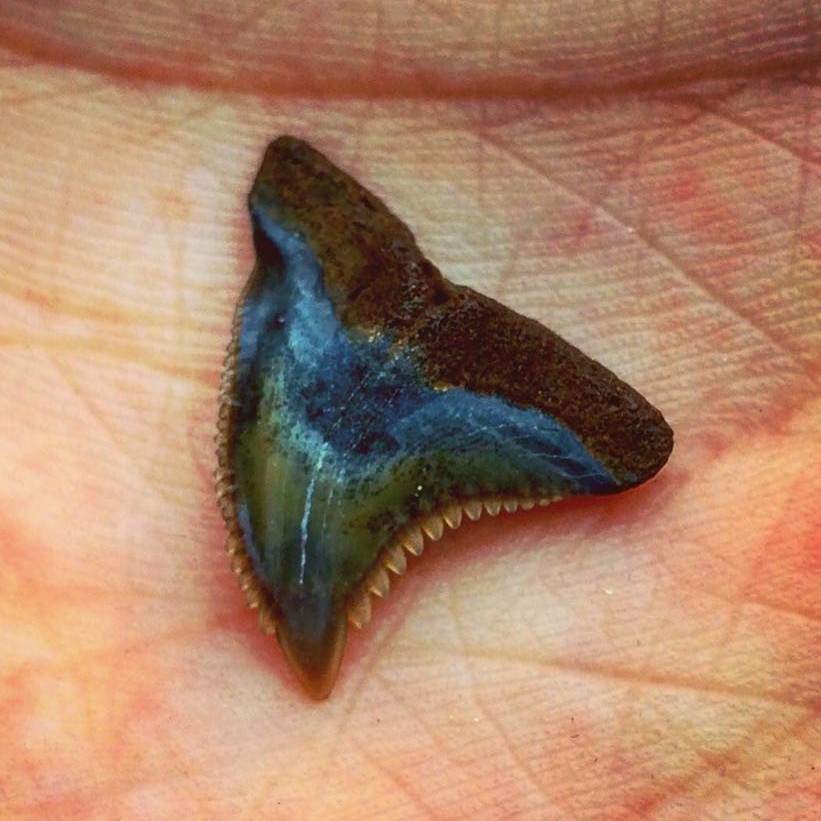
 |
|
On February 7, 2016, I explored both Eden Mill Nature Center and Kilgore Falls. I had a good time but I was alone and figured these are places worth sharing with friends. So today I returned with Norma and Stacy.
We started at the Eden Mill Nature Center where we saw numerous live and stuffed animals on display. I donated what I believe to be a woodpecker skull to add to their animal skull collection. Stacy enlightened us with her knowledge of local wild birds by identifying critters such as this downy woodpecker. 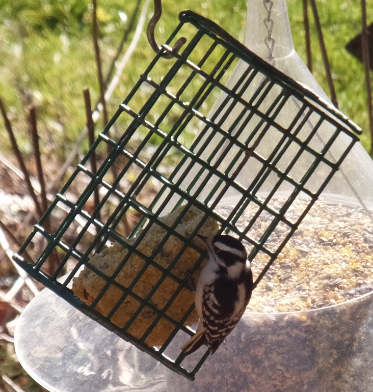
A barn next to the Nature Center supported several bat boxes. Unlike the ones I made, these were each one-level whereas mine have three. 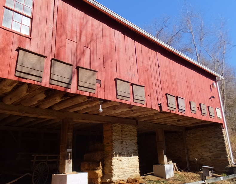
Attached to the Nature Center was the Mill Museum. Eden Mill was named for Sir Robert Eden, 1741-1784. He was the last royal governor of Maryland. This gristmill was built in 1798 and later served as a power plant, supplying 2,200 volts of electricity [shown below]. Grain was ground at the mill until 1964. - from "History of Eden Mill" (broken link as of 2026) 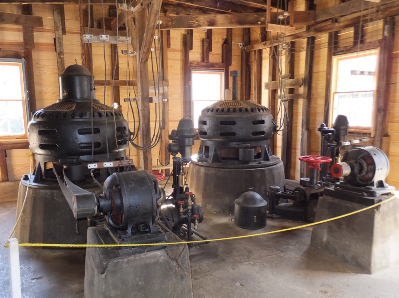
Next, the three of us walked on the trails along Big Branch Creek and Deer Creek. Though the temperature was in the mid 60s and very sunny, there was still quite a bit of ice on the creek. At the Nature Center, Deer Creek is dammed which means for quite a ways upstream, the water is calm and deep...ideal for kayaking! 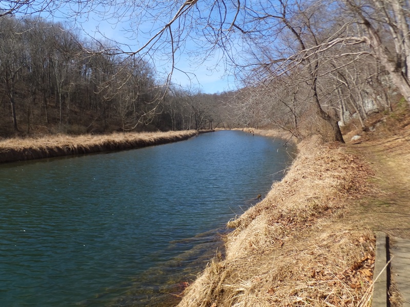
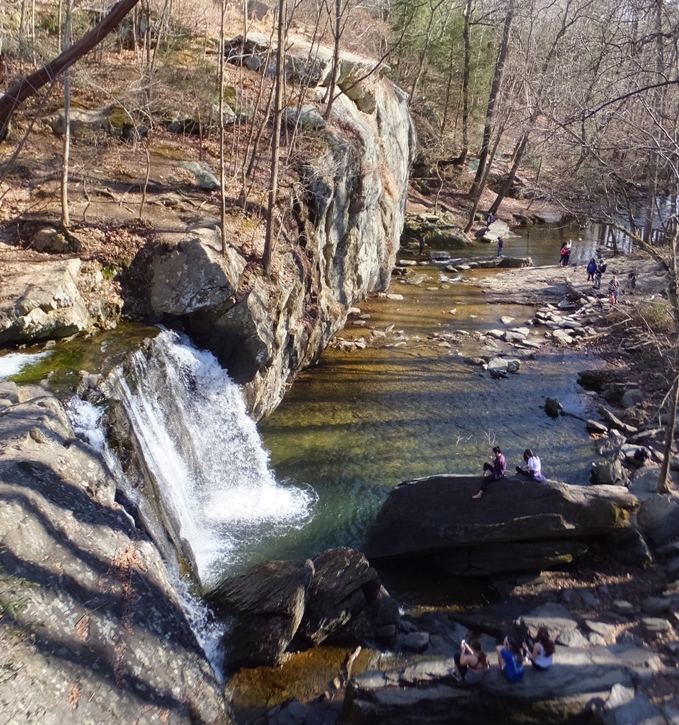
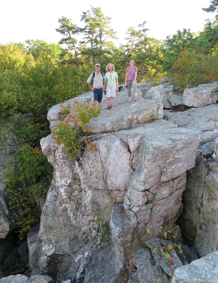
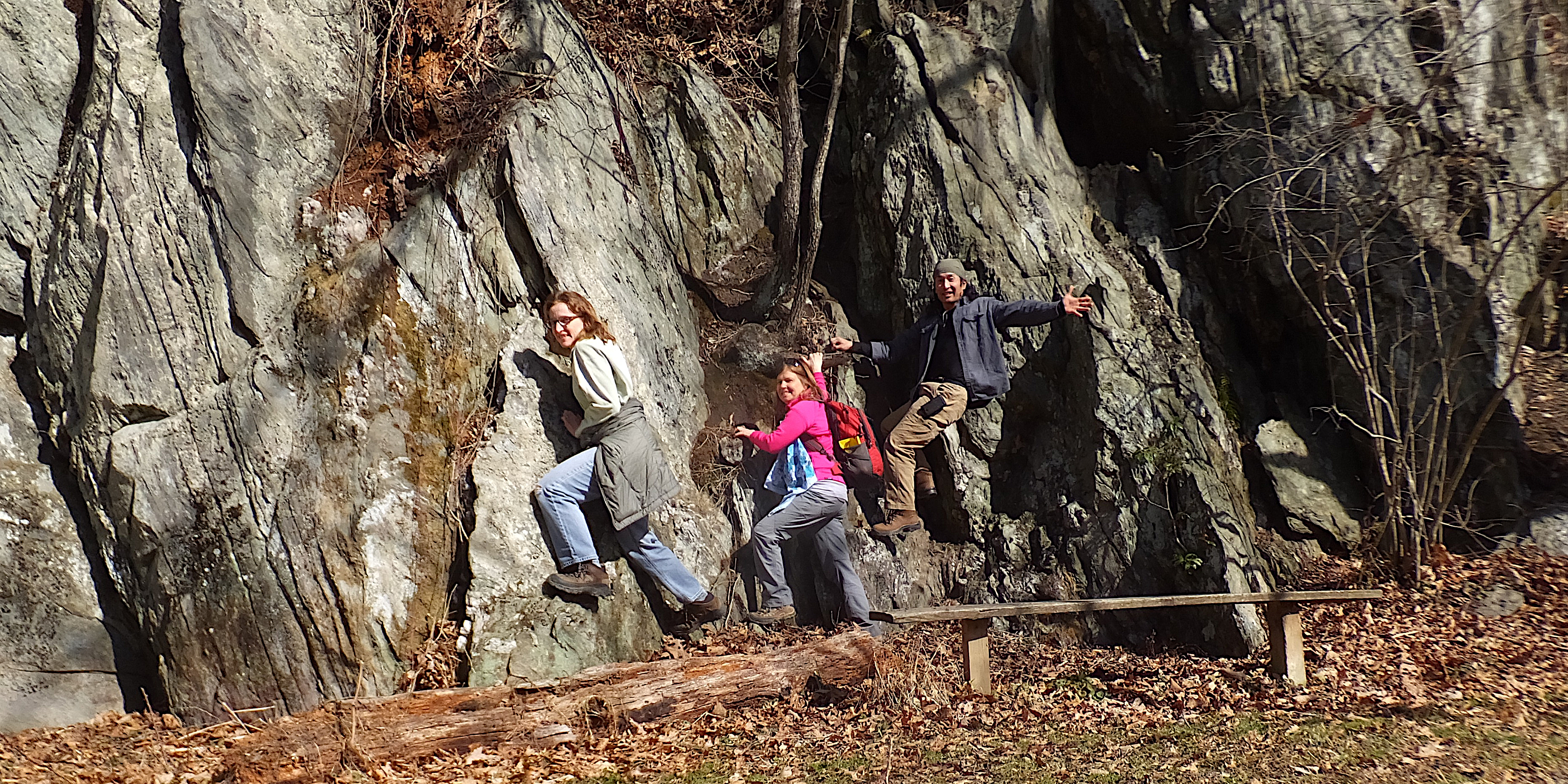
Beaver Run Trail is the main path along Deer Creek. There were some big rock formations along the trail. See cover photo. We found a dead mole, vole, or shrew. Not sure what it died of. Once I got home, I read up on the differences and concluded that the paddle-like forefeet on this five-inch long critter means it is a mole. This was Stacy's guess. 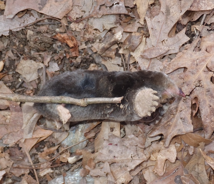
A little later, we found several bones, probably from a deer. 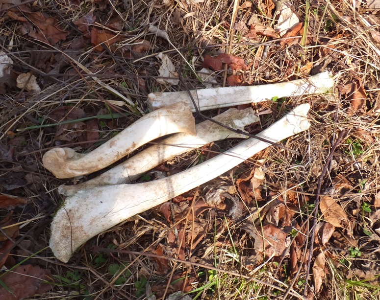
Having worked up a bit of an appetite, we ate at "Eats & Sweets". The food was very inexpensive (Garrett County prices in Harford County). Our next stop was Rocks State Park - Falling Branch / Kilgore Falls. The parking lot was full and all along the road were "no parking" signs so further away, I parked on Clermont Mill Road and we walked to the park. At the park, we did an easy stream crossing over Falling Branch. 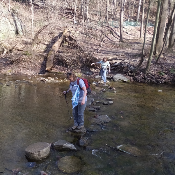
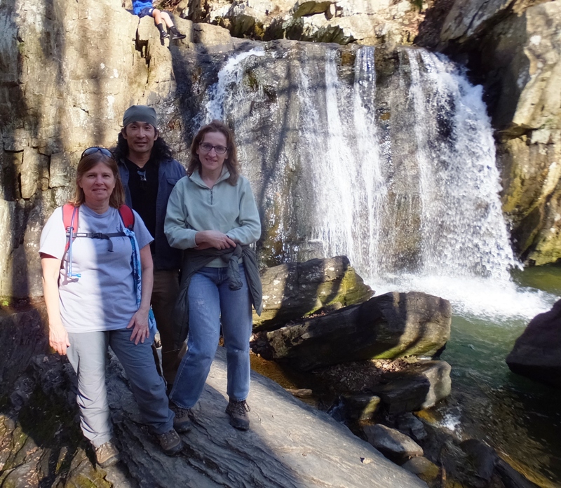
Once across, we got a good view of Kilgore Falls, the second highest free-falling waterfall in Maryland. Many people were out to see the falls but once we walked upstream on Falling Branch, we saw considerably fewer people. There was not much wildlife out, but we did see a few minnows in the creek. It was an exceptionally beautiful winter day...the kind where it would have been a shame to stay indoors. So it was good we got out. I would have kicked myself had I not. |
|
During April 14-17, 2017, Norma and I did several short hikes in New Jersey: Dismal Swamp, Kingston Branch Loop Trail in John W. Flemer Preserve, and Rancocas State Park. Nothing all that interesting. I've heard the corridor between New Brunswick and Trenton (where we were) doesn't have a lot in terms of exploring the great outdoors.
|
|
On August 12, 2017, Norma, Cousin Steve, and I hiked the Lakeshore Trail at Meyers Beach. Then we hiked to Lost Creek Falls.
|
|
On the first two days of Labor Day weekend in 2017, Norma and I spent a lot of time with her family. Then on Labor Day, we headed out on our own to Blackwater Falls State Park in West Virginia.
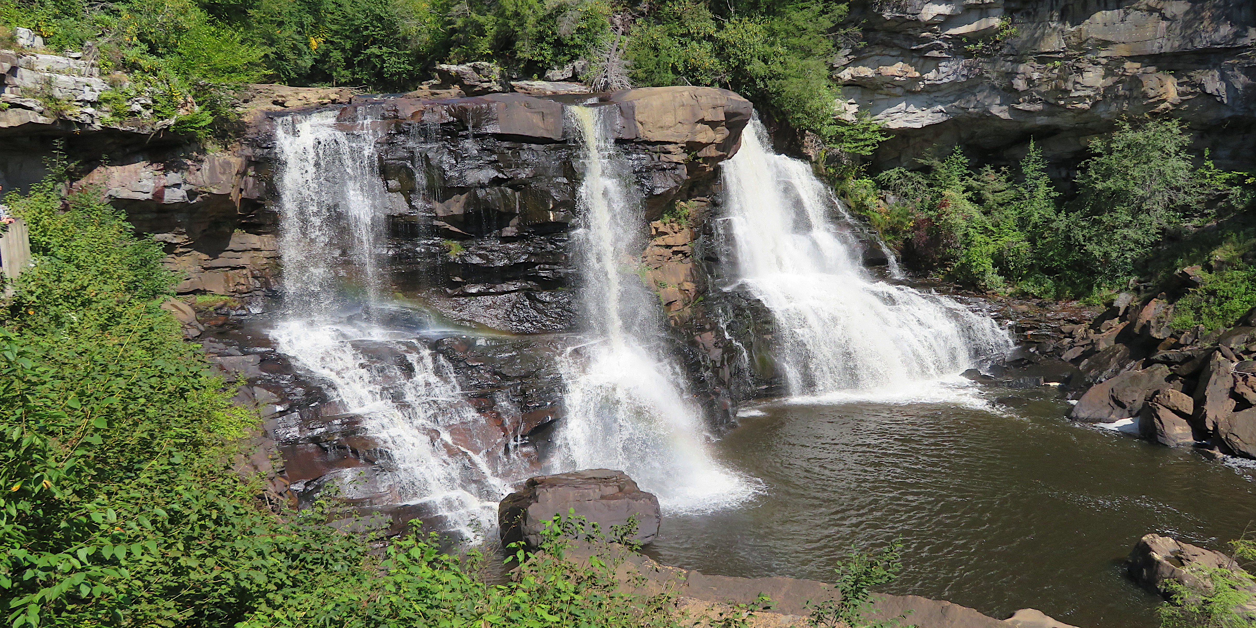
Our first stop was the falls. See photo at the bottom of the page. I was reminded of my first visit here on October 8, 2006 with Norma, Rotaud, and Annika. Today, there were a lot of Asian tourists. Next, we hiked west on Spudder Track where we saw ferns taking on autumn colors. 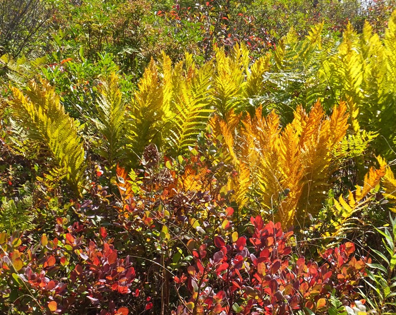
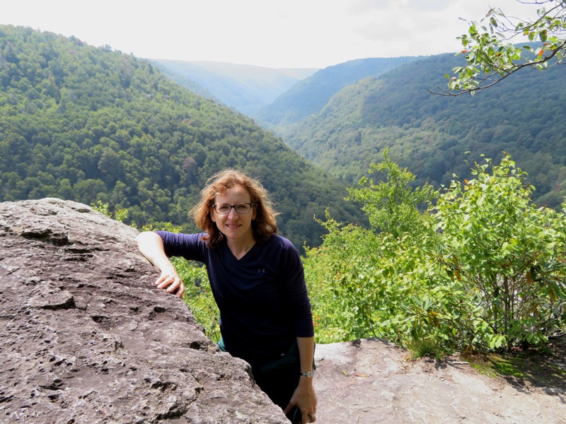
We eventually made it to Pendleton Point Overlook where we had a good view of the Blackwater River below. 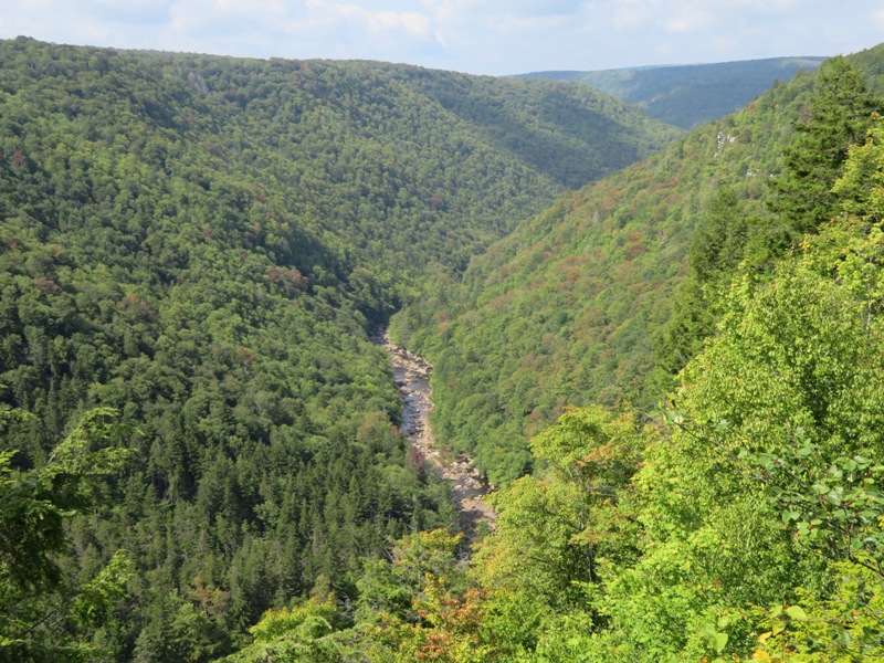
Norma and I walked north on the Pendleton Trace Trail to Pendleton Lake. On the east side of the lake, not far from Harold S. Walters Nature Center, there were numerous milkweed plants. Here, Norma spotted a large monarch butterfly chrysalis. 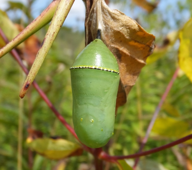
On the west side of the lake, Norma pointed out joe-pye weed. 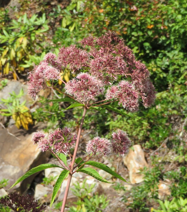
The two of us headed west on the yellow-blazed Dobbin House Trail. We did a similar hike with Norma's family back on March 5, 2011. But today, I led us on a slight detour. The free map I carried only showed the main trails but it looked like we could extend our hike to the north by taking some of the trails not named on the map. It wasn't until I got home that I realized what I intended to do was lead us northwest on the Woodcock Trail and then southwest on Dinky Jumpoff Trail. But I ended up doing something different...possibly missing Dinky Jumpoff Trail. I spotted a most unusual paper wasp nest. It was attached to a tree as if the entire nest had been cut in half and glued to the side of the tree. Every other time I've seen such a nest, it is hanging like a Mexican piñata. 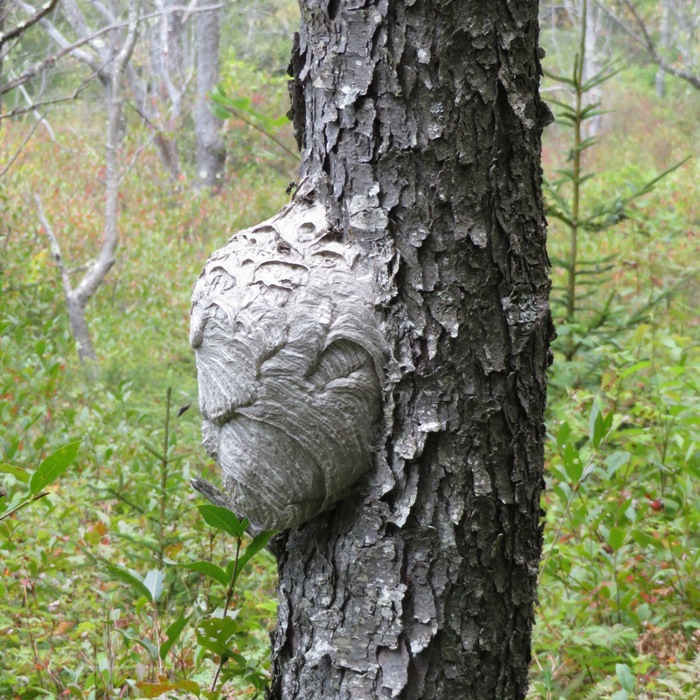
Norma and I saw a multitude of purple mushrooms. 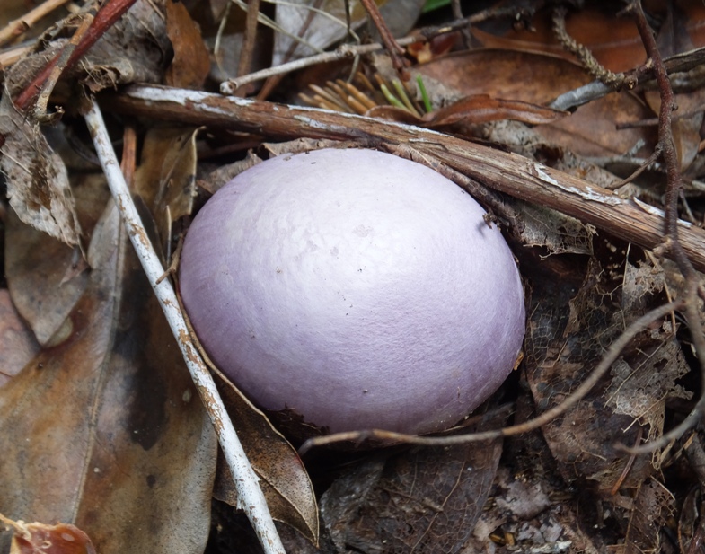
There were various colored mosses that reminded us both of Dolly Sods but without all the mud. The trails were well maintained, as shown below, but there were no signs indicating their names. Since we were on trails that did not show up on my map, it wasn't easy to stay oriented. I was realizing just how dependent I had become on my GPS over the last few years. Not good. It recently broke on our Apostle Islands kayak camping trip. It was a casualty of water damage and a dry bag that I should have replaced a few months prior. 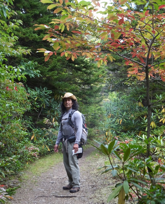
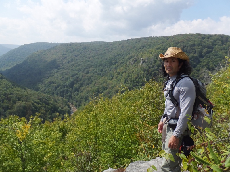
After some backtracking, we made it to the red blazed Base Point Trail which is sometimes listed as Pase Point Trail. After walking 0.7 mile west, we finally reached our destination, the overlook of the North Fork of the Blackwater River. It is a very scenic place that is not marked on the trail and not given a name on the map other than "overlook." We took a power nap before heading back. Instead of returning on the Spudder Track, we hiked on the blue-blazed Balsam Fir Trail and then cut through the campground. I'm estimating we walked 12 miles. At the park trading post, we shared an ice cream cone and then drove home. The holiday traffic wasn't too bad. This was my first real hike wearing my new Merrell Yokota Trail Mid Waterproof Hiking Boots. These boots combined with Powerstep ProTech 3/4 length orthotic supports, toe sock liners, and Smartwool socks is a great combination...certainly better than what I had in the Marines. They are definitely good. How good? Good enough for me to order a second pair when the first pair is barely broken in. Hopefully, Norma and I will be doing a lot more hiking and I'll get my money's worth out of them. |
|
As a child, I learned the "Paw Paw Patch song" but I didn't know what a paw paw was. This all changed once I moved to Maryland.
Pickin' up paw paws, Put 'em in your pocket Pickin' up paw paws, Put 'em in your pocket Pickin' up paw paws, Put 'em in your pocket Way down yonder in the paw paw patch Norma, Sara, Kelley, Nick, and I attended the Second Annual Long Creek Paw Paw Festival. This event celebrates our largest native American fruit. 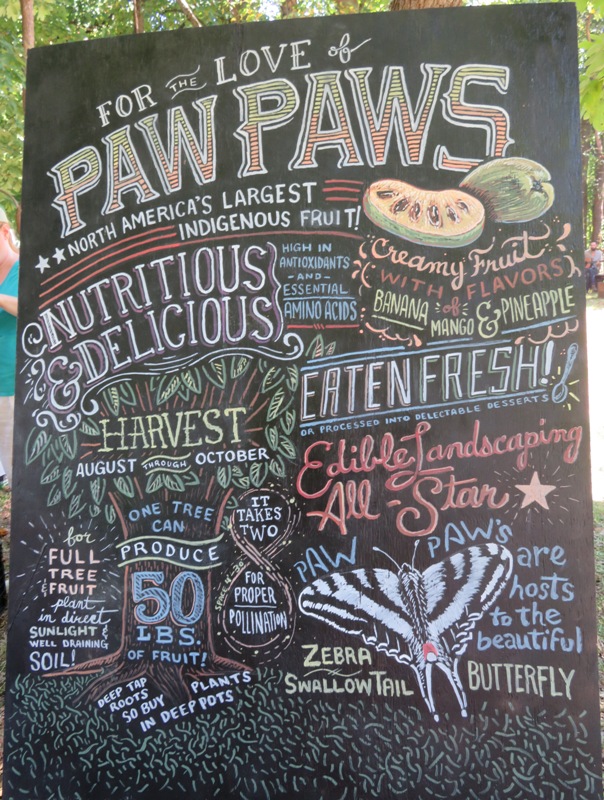
The festival took place at Long Creek Homestead in Frederick. Long Creek Homestead is a mosaic of wild woodland, riparian forest, hardwood forest, orchards, food forests, and innovative ecological systems. The site is six years into design has over 50 species of uncommon fruit and nuts, a circular strawbale home, and small scale mushroom cultivation. We took a tour of the cleverly designed circular home which uses strawbales for insulation. It also has a green roof. 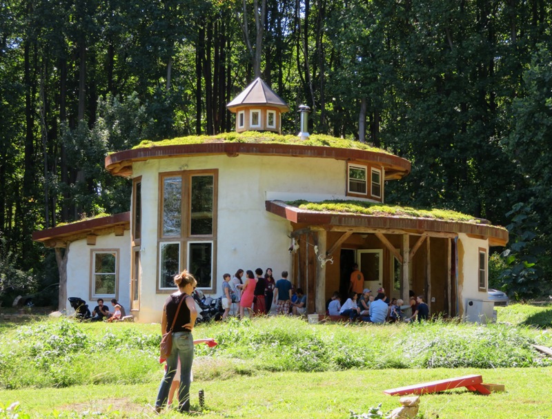
Next, we saw the gardens. One of the fruits was che grafted onto an osage orange tree. I tasted it. Not much flavor. 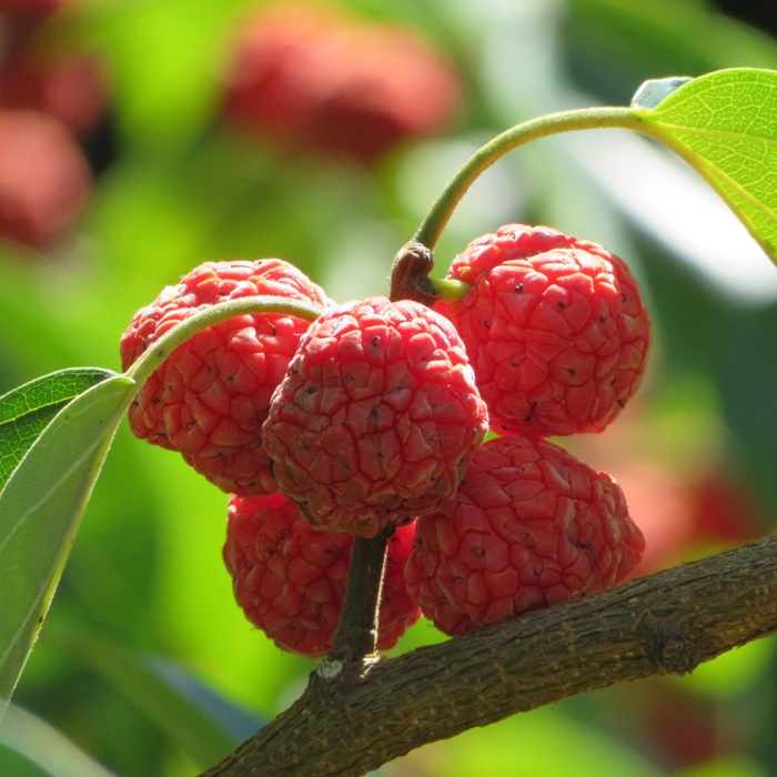
Of course we saw paw paw trees with many fruits. I read that in this area, paw paw fruit ripens in early autumn. 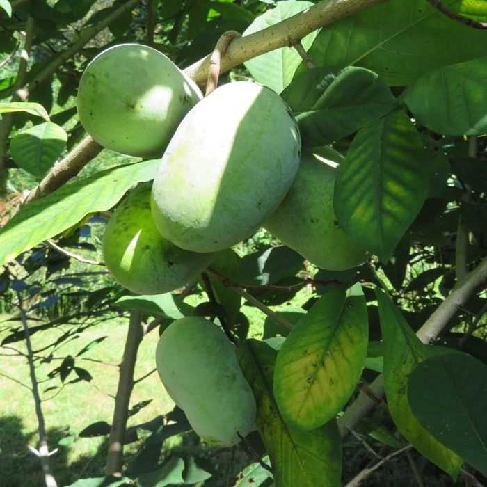
We went out to eat at Mountain Gate Family Restaurant which seemed like a place that would fit well in Garrett County. Sara took off while the rest of us did a hike at Catoctin Mountain Park. From the visitor center, we walked east between route 77 and Hunting Creek to the park headquarters. There is supposedly an unofficial fisherman's trail there but that is pretty much grown over. Walking 0.97 mile on this ensures one can do a circuit hike without backtracking, though I don't think it is worth it. Next, the four of us walked uphill to Chimney Rock. This climb was the most strenuous part of the trip. After things leveled off a bit, we saw some interesting mushrooms that looked very much like some we saw on display at the Paw Paw Festival. 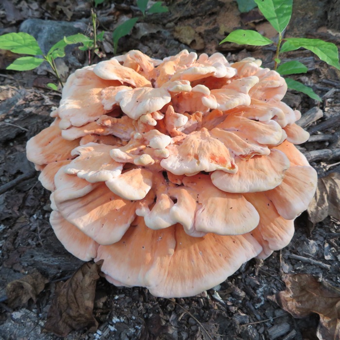
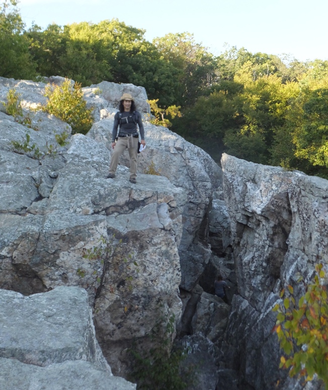
After a short break, we continued to Wolf Rock, a quartzite ledge formed 250 million years ago. When taking this picture, I stood on the other side of a deep crevice. The previous day was the fall equinox. Some leaves are already starting to change color. 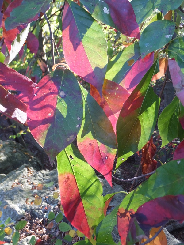
Norma and I screwed things up a bit when we tried to shave off a mile from the route. We ended up shaving off 3.3 miles instead! So our hike only ended up being 4.2 miles long. We all headed over to the Carroll Creek area of Frederick for dinner before heading home. Norma and I enjoyed spending time with Kelley, Nick, and Sara. They're good people. |
|
On September 30, 2017, I did a very short loop hike with Norma, Joyce and Jimmy and their kids at Murphy Farm, which is part of Harpers Ferry.
|