|
This page describes my hiking adventures in 2016. |

|
This page describes my hiking adventures in 2016. |
|
It was Super Bowl Sunday. What does a non-football fan like myself do on such a day? I get outside! I figure there will be less folks out on the trail although I wonder if all the other non-football fans are thinking the same thing. Or maybe the sports fans are wanting to get outside before the game actually starts.
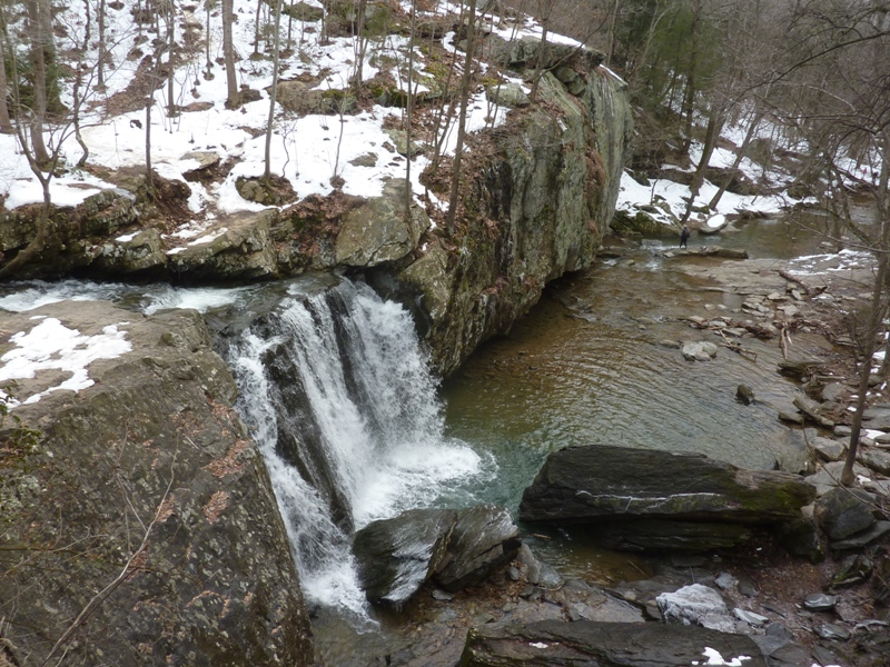
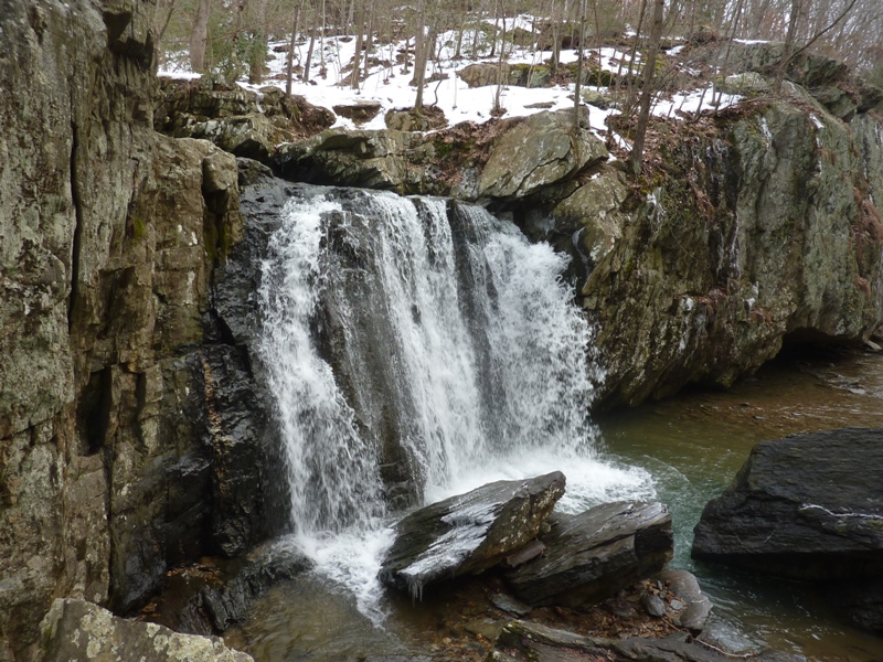
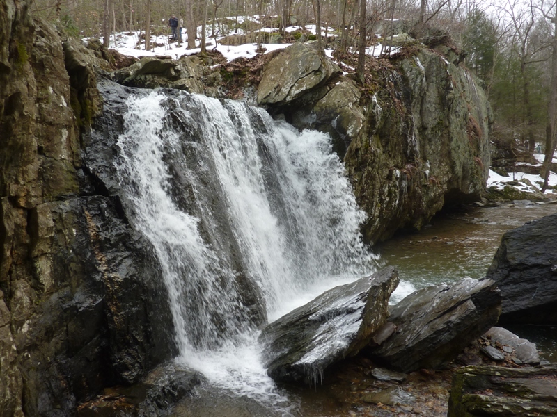
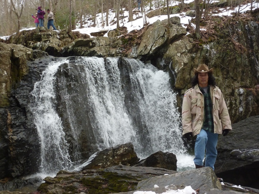
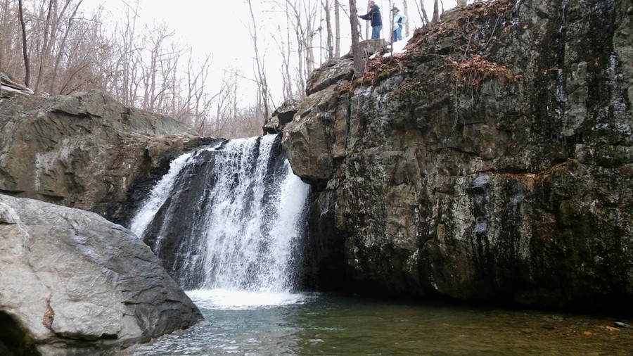
Norma was away on a business trip to Prague so I was alone for a few days. I had already gotten quite a bit of housecleaning done so I figured that I deserved a break. I contacted several people a few days in advance to see if anyone would be willing to join me but everyone was busy. After Norma and I saw numerous beautiful waterfalls in Ricketts Glen State Park on October 17-18, 2015, I was motivated to see Kilgore Falls in Rocks State Park. So I drove out late that morning. Up to then, I had seen only photos of this place, such as those at flickr - Sridhar Saraf. In Savage, most all the snow from winter storm Jonas had already melted. But in Harford County, there was still quite a bit, though not on the roads. Wearing crampons would have been ideal but I didn't think of that. 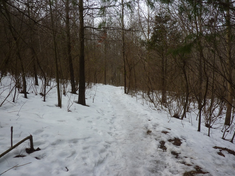
There were quite a few people out, many with dogs. As I made my way north, I ran into a couple of people returning that asked me if I knew where the falls were. They could not find it. I didn't know myself but I'm guessing they didn't look very hard because it was close. From high up, I had a nice view of Falling Branch down below. I knew the falls were near but I was on the wrong side of the creek to see it. 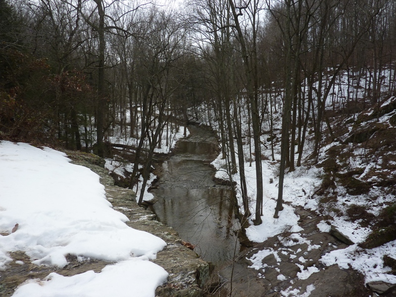
I headed uphill to a clearing with some power lines. There was enough snow for cross country skiing. Heading back down to the water, I looked for a way across but wasn't finding it. 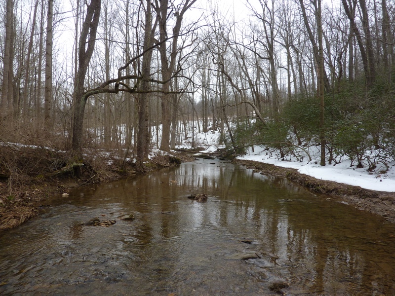
I continued north along the trail until I came to a low, fallen tree that I walked across. Then I bushwhacked my way south on the west side of the creek until I came to the falls. I wasn't wanting to go back to the fallen tree to get back across the creek so instead I rockhopped my way back. This shows the path I took. 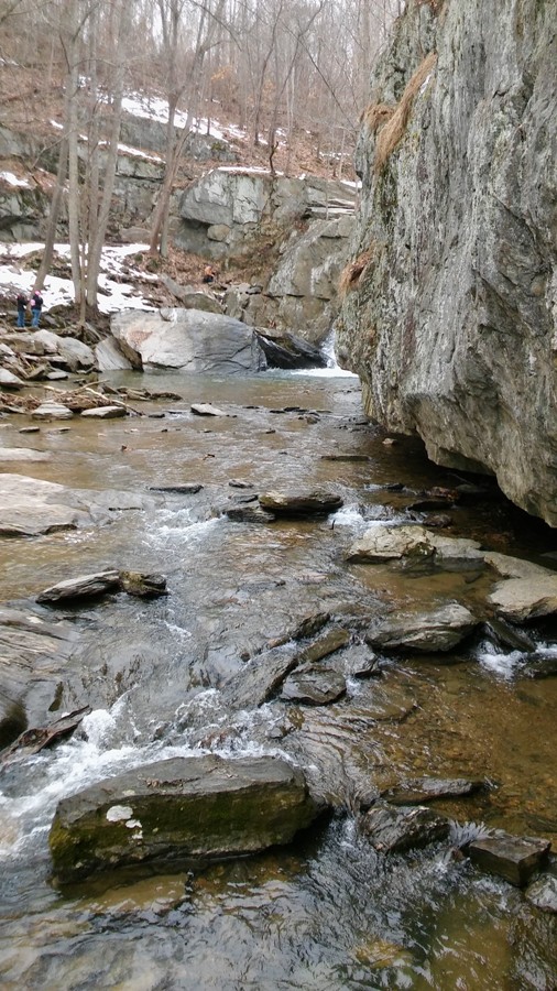
A father and his young daughter took a slower but safer route. 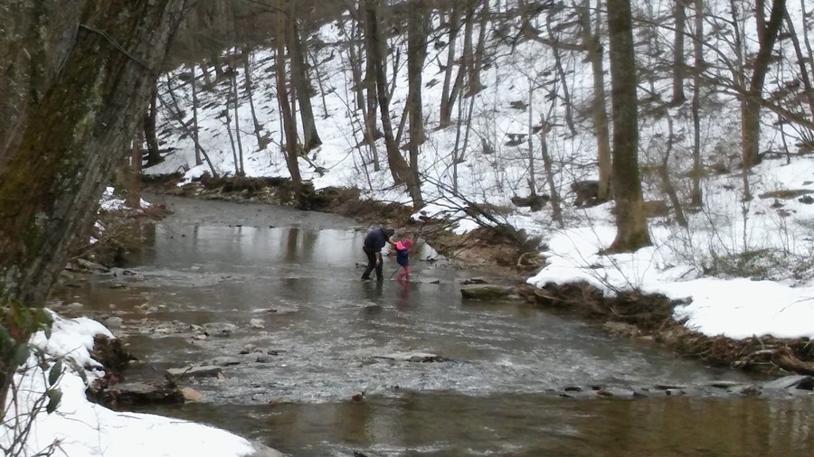
What's next? If I get some time, I'd like to see Crabtree Falls but that is 3.5 hours away from Savage. I only walked about 2.5 miles and still had plenty of time. So I set out to do more exploring. I had already been to the main section of Rocks State Park on December 23, 2006 so I was wanting to see something else. I ended up at Eden Mill Nature Center.  |
|
After spending most of Saturday operating and then servicing a borrowed wood chipper, it was time to get out and do some exploring the next day.
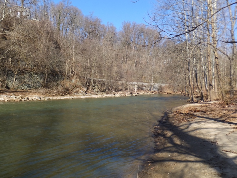
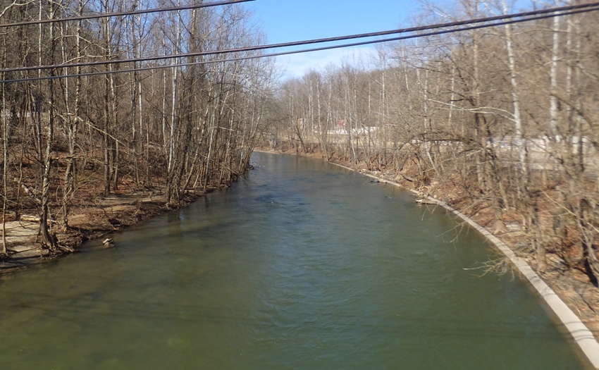
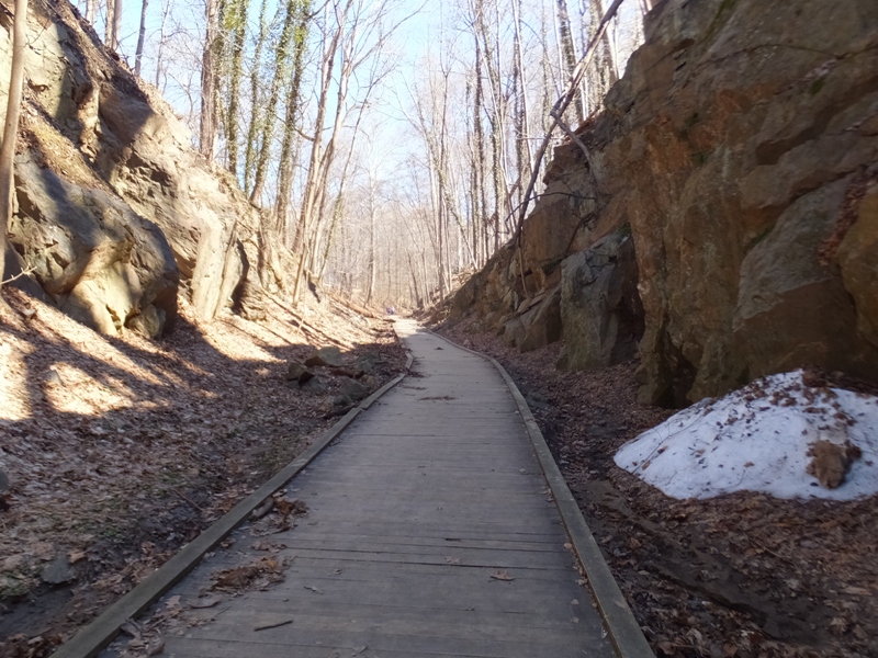
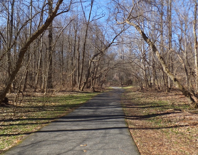
The weather was sunny, breezy, with a high temperature of 65 degrees! Except for the wind, it was good kayaking weather. But the wind would be fine if we were in a valley. So I planned a route that took Norma and I on the Patapsco River from Historic Ellicott City (established 1772) to a takeout located a few miles downstream. Paddling the Patapsco would be nice but the highlight of this trip would be kayaking up the mill race in Historic Ellicott City. I was told about this from my neighbor, Jeff S. I had never paddled any of this area so all I knew was what he told me and what I read in Edward Gertler's "Maryland and Delaware Canoe Trails" book. We loaded up my tandem and then drove both cars out to the Oella launch site parking lot. Jeff S. told me about this and I found it adequate for launching. Then Norma and I set out to explore the river via car. She followed me and I drove along the river, checking out water conditions. I was able to see quite a bit until we got to Ilchester. Then the road veered away from the river. Not being too comfortable about taking her on a section I knew little about, I decided to leave my car here at this takeout. This would mean a short trip in terms of distance but the way I figured, we'd spend quite a bit of time paddling below Historic Ellicott City, exploring the mill race. Here are two views of the Patapsco River from Ilchester. I drove back with Norma to the same parking lot in Oella (the town was established in 1808). Then we walked on the Trolley Line #9 trail. I just happened to see this on my ADC map and figured we had time to check it out. It was around 1100 now and folks (including us) were waiting for people to leave so we could take their parking space. It seems everyone was wanting to be outside, which is a good thing in my opinion. The 1.25-mile long trail started out with a lot of boardwalk along steep rocks where some snow still lay. The rest of the trail was paved. It was sunny and if the wind was at my back as I walked, it felt comfortably warm. Little streams flowed by. In pools, we looked for amphibian eggs but it was too soon...or so we thought. My friend Stacy reported on her Facebook page that she heard "frogs calling at Soldiers Delight" and saw "scores of dark shapes swimming and calling." Someone identified the sound as coming from wood frogs. While it felt like spring was right around the corner, a frozen pond reminded us that cold weather was still to come. As of February 28, the forecast for the evening of March 4 is a mere 25 degrees! 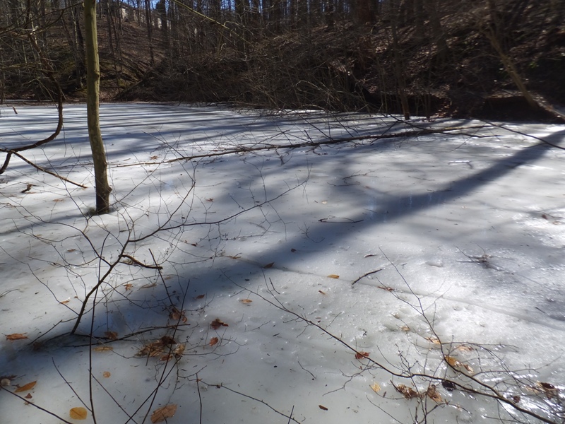
There were various unpaved side trails that branched off the Trolley Line #9 trail, including one that led to Benjamin Banneker Historical Park. Benjamin Banneker (1731-1806): African-American mathematician and astronomer Benjamin Banneker was a renowned man of science. Famous for helping the Ellicott brothers survey the site of the national capital in 1791 and corresponding with Thomas Jefferson... - from information sign on Oella Avenue On the way back, we stopped in at The Breadery to buy fresh baked goods. Next, Norma and I walked across the Main Street/Frederick Road (route 144) bridge that connects Oella and Ellicott City. I made a plan for negotiating the whitewater section. It wasn't extremely difficult but it wasn't easy either. The water was cold but we had wetsuits and splash jackets so we would be fine if we got wet for awhile. 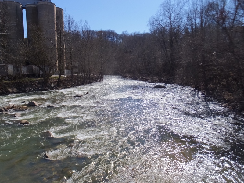
In Historic Ellicott City, we checked out the mill race. Clearly, we could paddle up it but just how far? Upon investigating, I estimated it ran for not more than an eighth of a mile...much less than what I expected. 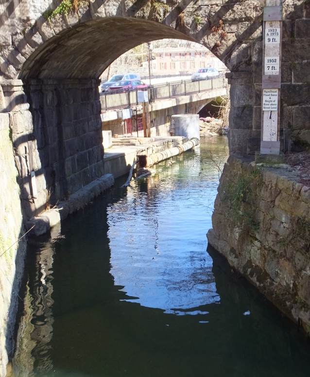
Walking back to Norma's car, I could tell she wasn't too comfortable with the rapids and since I hadn't paddled this area before, I could make no guarantees as to what was yet to come. She seemed hesitant so I decided that we'd do more walking instead of paddling. With the mill race being so short, I really don't know if we would have been kayaking long enough to even make it worth while. But more walking was fine with me. There were parts of Historic Ellicott City that I wanted to show her that she hadn't yet seen. Main Street is where most of the action is, but it is also very congested and loud with vehicles. We explored the quieter yet still historic sections on either side of the road. This led us to the Howard County Historical Society where we spent some time. Then we walked up Merryman Street and down on Hill Street. Later, we walked through the Friends Graveyard. After founding the town of Ellicotts Mills [yes, the sign said "Ellicotts"] in 1772, the Ellicott Brothers established this burying ground in 1795... - from historic sign on Old Columbia Pike 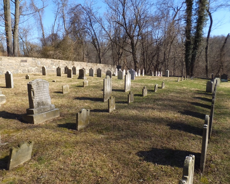
Leaving the area, we stopped for an early dinner at "Dimitri's" where both the food and service was mediocre. Back at home, I took care of the chickens while Norma worked in her garden. That night, Norma and I heard frogs from our front porch. Maybe spring is closer than I think. |
|
From April 29 to May 9, 2016, Team SNaCk explored southern New Mexico and western Texas. This included lots of short hikes.
|
|
On July 23-28, 2016, Norma and I did several short hikes in Great Britain, primarily in the Cotswold area of Glouchestershire, England.
|
|
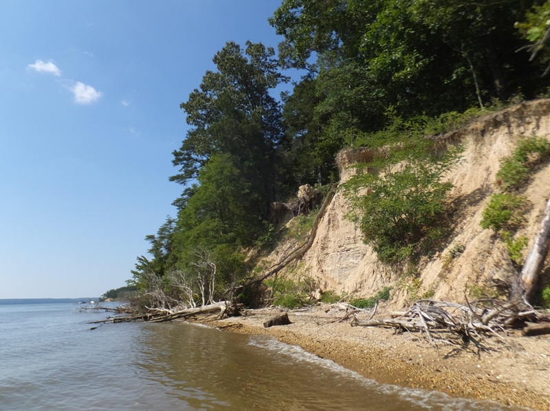
After grabbing a quick bite to eat to refuel after our Indian Head Rail Trail bike ride, Norma and I made our way to Purse State Park where we searched for fossils on the Maryland side of the Potomac River. In 45 minutes, the two of us found 46 shark teeth (I found 27, she found 19), 29 pieces of ray dental plates, and two turritella internal molds. I found most of my shark teeth near a tree stump (shown below) while Norma found hers in a small, shaded area about five feet in diameter. You don't necessarily need to look far, you just need to look closely. This is the best place I've found to look for shark teeth where you don't need a boat.
Just north of Purse State Park, we stopped at Douglas Point Recreation Area, which is also supposedly a good place to find fossils though we did not look. Starting from the south trailhead, we did a short walk to the Chiles Homesite, where we saw the remains of a house called Mount Pleasant. These chimneys remain from a house, called Mount Pleasant, which was built in 1798. Though trees now cover the land, in the 18th and 19th centuries, active farms covered this area. Wills, deeds, and tax records reveal the past owners of the land, beginning in 1653. In 1841, the Reverend William J. Chiles bought this property and lived here with his family. The Reverend Chiles served as pastor of the Nanjemoy Baptist Church from 1837 to 1855 and from 1866 until his death in 1874. - from sign at Mount Pleasant 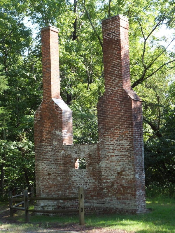
I also saw a ten-inch long five-lined skink and paw paws. While we didn't try them that day, I describe their taste as a mix between a banana and a mango. Unfortunately, they are mostly comprised of big, inedible seeds. 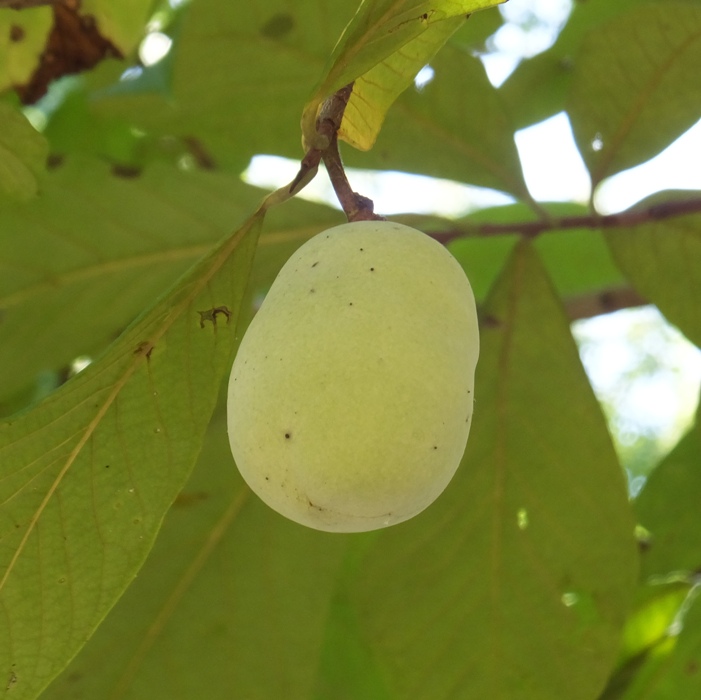
I learned something interesting. In the 1970s, Potomac Electric Power Company planned to build a nuclear power plant. The plans were abandoned, but 30 years later, a company wanted to mine for gravel. New and old residents worked together to keep the mining company out. A pipe poking out of the ground marks the place of a nuclear power plant that never was built. - from sign at Mount Pleasant Here is what I believe to be the pipe that marks the location of the non-existent nuclear power plant. 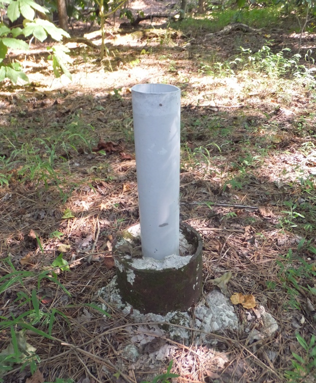
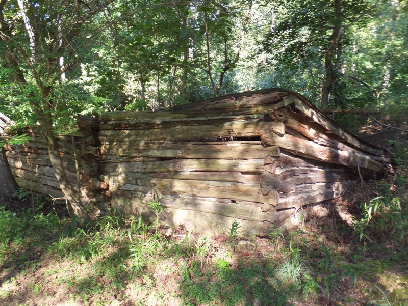
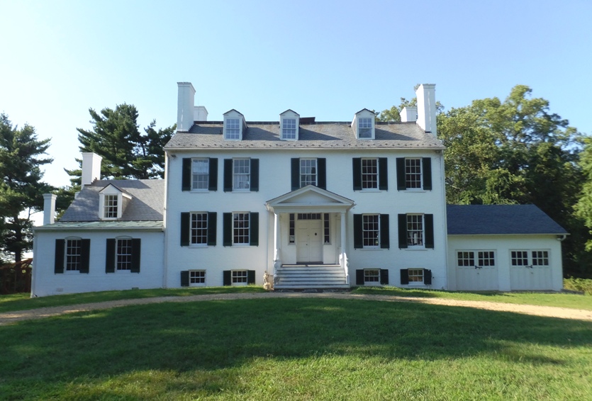
Next, we stopped at Chapman State Park. At the park, I saw the ruins of a log cabin and the Mount Aventine house, built around 1840. From behind the house, one could see the Potomac River. On the right side of the view below is Mount Vernon. I took 20 minutes to explore this area on my own while Norma took a nap in the car. Maybe next time we'll explore the trails at Chapman. 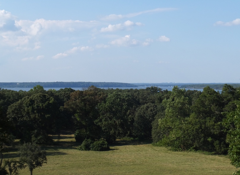
Chapman, Douglas Point, and the rail trail are all too new to be shown on my 2001 Charles County ADC map. It was a good day. I expect we will return when it gets cooler to do more exploring in Charles County. We only saw half of the stuff on my list. There's a lot of things there to see that not many folks know about. Like today, it will probably be a last minute adventure. When I got home, I arranged and took a photo of all the fossils we found that day. 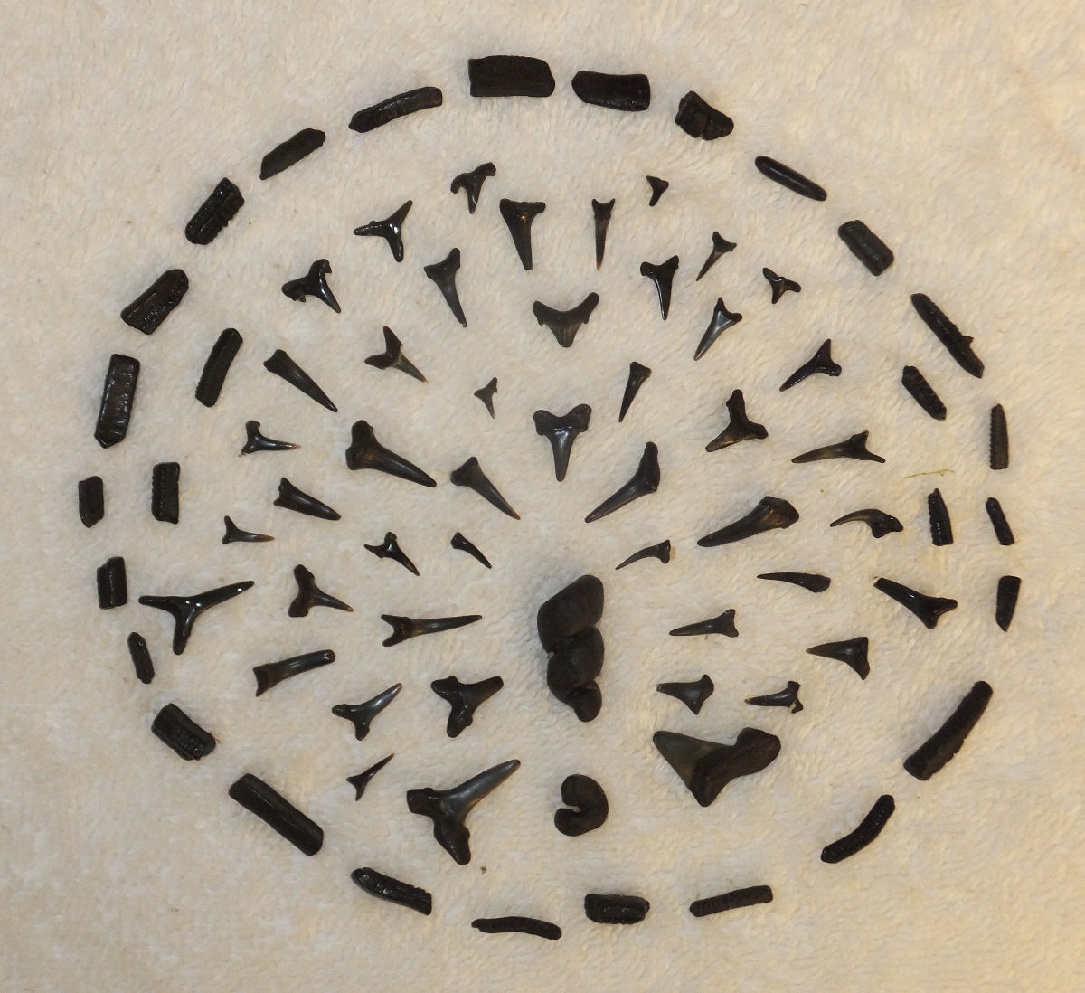
|
|
I originally wanted to go hiking at Stony Man back on December 3, 2011 but could find nobody to join me. So on that day, I did another hike and put off Stony Man until today.
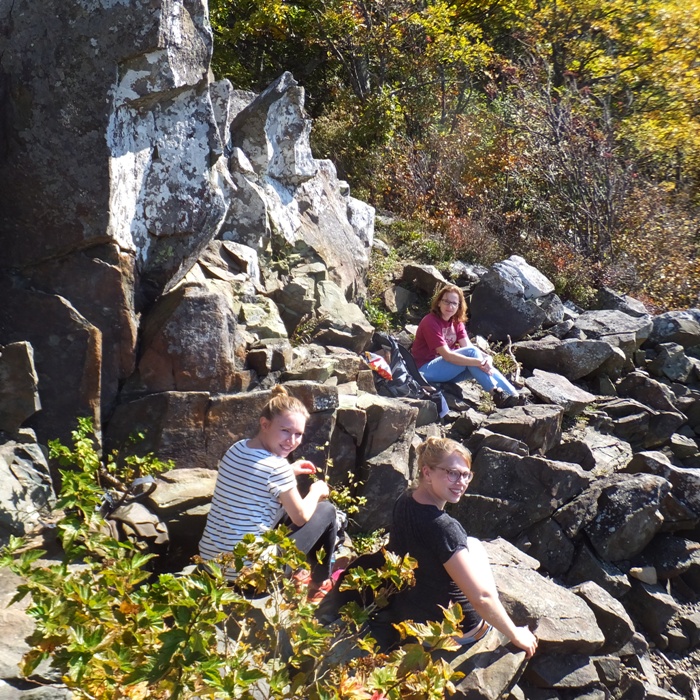
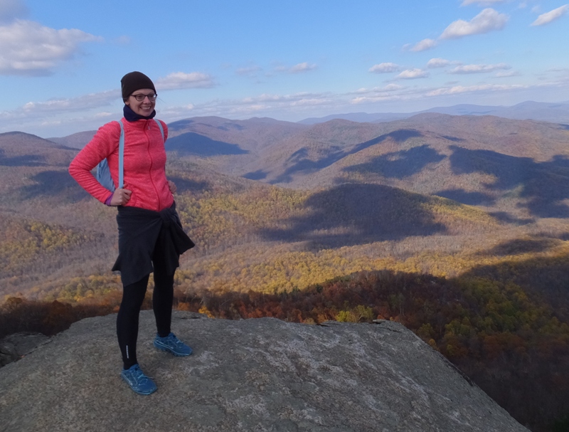
It had been quite awhile since Norma and I had done a hike in Shenandoah National Park. We used to spend quite a bit of time there but not so much over the last few years. Homeownership has shifted our priorities elsewhere. We've always enjoyed taking Norma's interns on outings and today was a great day for it. So we invited Katja and Janett. This was my first time meeting Katja but I knew Janett from our September 3-5, 2016 trip to Fredericksburg. We hadn't been getting a lot of rain so it wasn't a good time to see waterfalls, but it was a good day for autumn foliage. After suffering through one of the hottest summers on record, the Washington region is finally being treated to fall weather, and with it, the late arrival of leaf-peeping season. The next two weeks are the best time to see fall colors in Virginia's Shenandoah National Park and other area parks, according to foliage experts. The peak foliage period in the Shenandoah area will last a little over two weeks, from October 7 to 21... - from The Best Time To See Fall Foliage In Shenandoah Is Nearly Here - October 10, 2016 Trees aren't the only thing changing color. Ferns are turning gold - their kelly green fronds brushed lightly now with gold dust, but transforming frond tip by frond tip into the cinnamon and milk chocolate tones they'll wear in winter. There are several lavish displays of ferns along Skyline Drive, but one of the most enchanting is at the Stony Man trailhead... - from "Shenandoah's Fall Color" (a broken link as of 2026) Yesterday, I got out on the SUP and saw the ships at the first Baltimore Fleet Week so today I didn't mind being a landlubber. Near the park, we stopped in Sperryville at Cooter's in the Country. Here, I saw the General Lee from the The Dukes of Hazzard, a television show I remember fondly. Who could forget Daisey Duke and the cutoff shorts named after her? 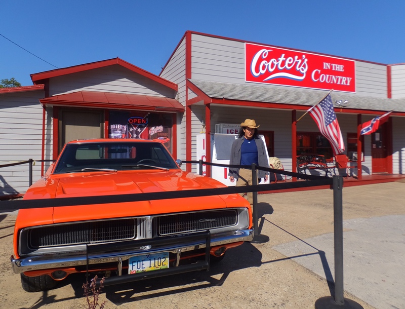
There were a lot of roadside fruit stands. We stopped at Roy's Orchard and Fruit Market to buy apples and a pumpkin. 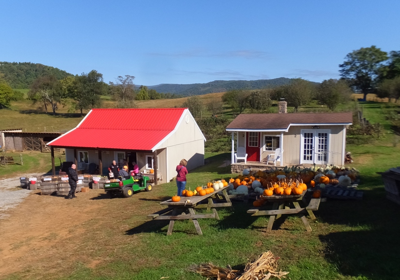
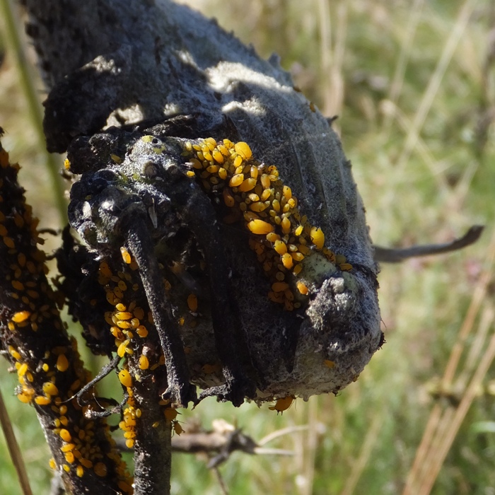
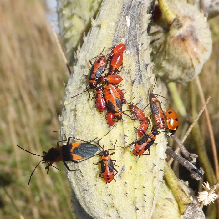
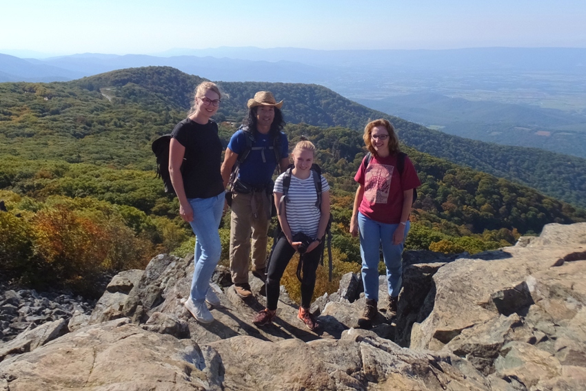
There was a long, slow line to enter into the park. It was a beautiful, sunny day and it seems a lot of other people were also wanting to get out on the trail and do some hiking. We made a few stops at scenic overlooks on Skyline Drive. At one, we saw several milkweed plants. I was hoping to see monarch butterflies or caterpillars but instead, I saw aphids and milkweed bugs. The four of us commenced our hike around noon. We walked on the Appalachian Trail heading northeast from the parking lot to Stony Man Trail. This led us to Stony Man Summit, the second highest point in the park. Here, we had a great view, along with at least a dozen other people. Looking north, we could see to infinity. 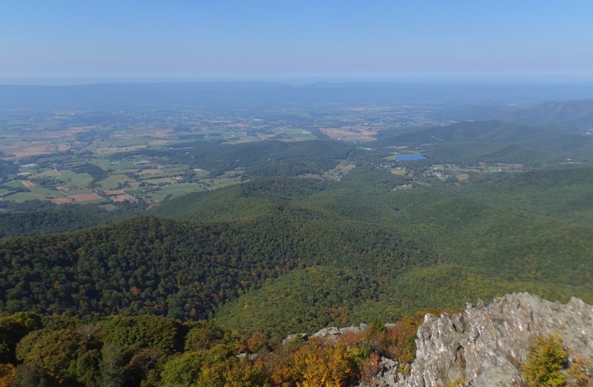
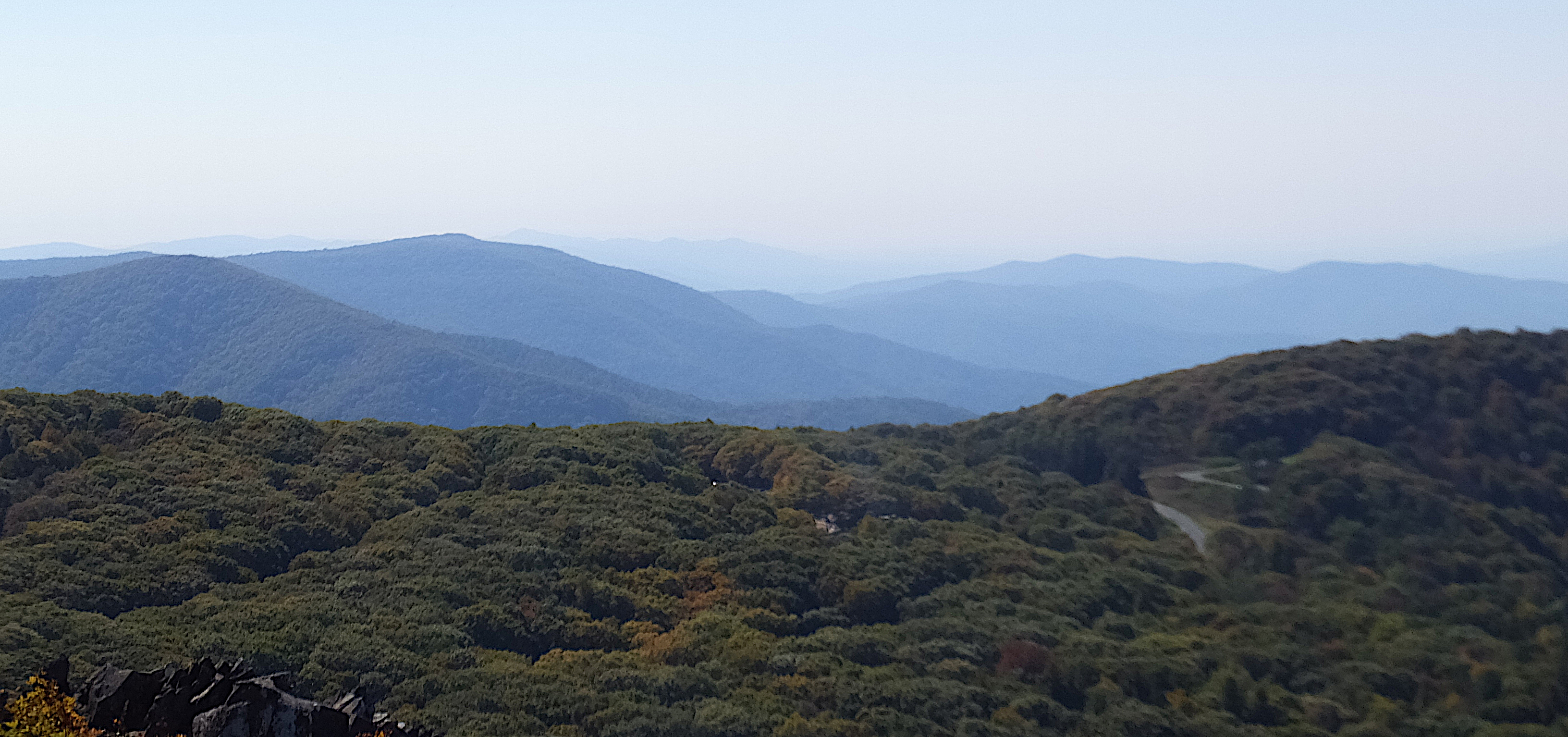
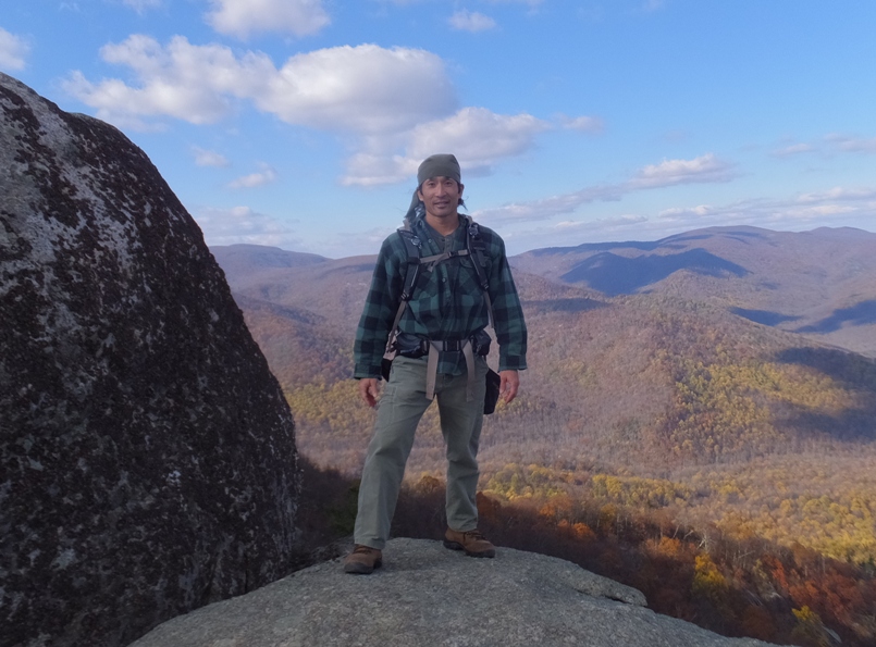
Looking west, it was clear why these mountains are called the Blue Ridge Mountains. See photo at the bottom of the page. We ate our lunch, posed for a photo at the summit, and then resumed hiking. Autumn isn't the best time to see critters, but if you look hard, you might find some. I came across a hickory tussock caterpillar. "Caterpillar" is one of the few words that has less syllables when said in German: "raupe." 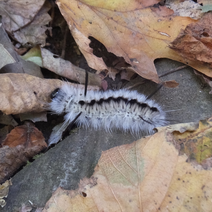
At one rocky overlook, we saw a family of rock climbers below. It was a fabulous place to climb. Norma found a witch hazel plant. 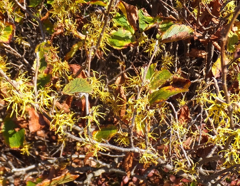
The fall colors weren't as vibrant as I would have hoped, but in some areas, they were very impressive. No Photoshopping of this pic. This is the real deal. 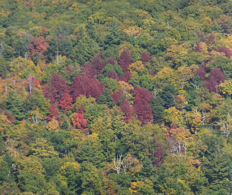
At one overlook, we had another great view...not just of the lowland but also our next overlook, Little Stony Man. 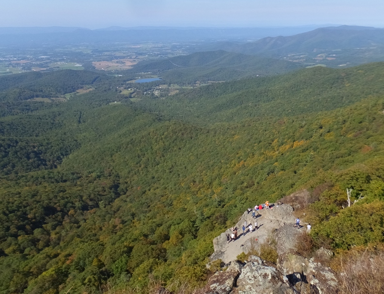
Soon we found ourselves on the Passamaquoddy Trail heading southwest. This took us off the ridgeline where we didn't have any vistas. But that doesn't mean it wasn't pretty. We stopped at one scenic rocky area where water seeped out. 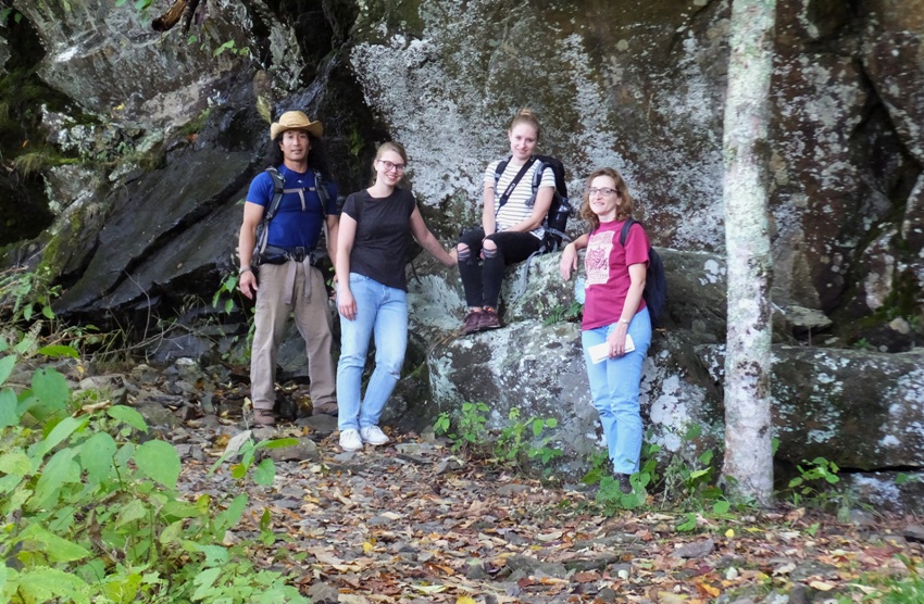
We came across what looked like a hobbit house. I heard machinery running inside. Not sure what it was. 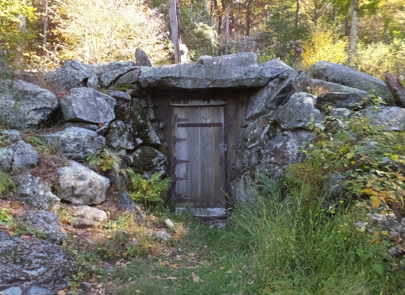
I was hoping to find the trail to Millers Head Lookout but I did not see it. Most things were pretty well marked but this was not. We hiked south on Whiteoak Canyon Trail. Near Limberlost Trail, I saw some unusual rocks. I remember seeing these same rocks on January 29, 2012. Someone in our group back then said their hexagonal shape was a property of basalt. 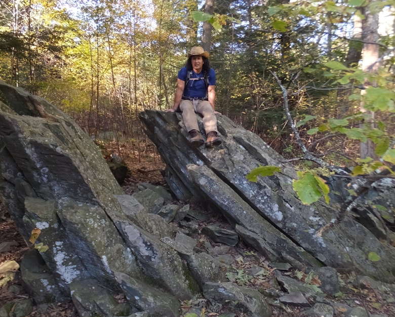
Janett, Katja, Norma, and I caught Limberlost Trail which led to the Skyland-Big Meadows Horse Trail. Then we walked on the Appalachian Trail back to the car, completing our 7.5-mile hike as the sun started to get low in the sky. Making our way out of the park, we made a final stop on Skyline Drive to get one last view, this time looking south. 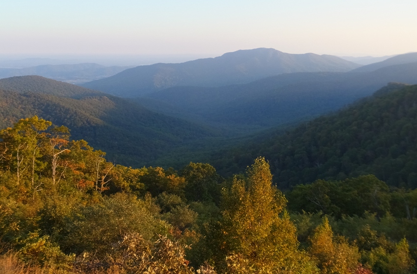
Back in Sperryville, we stopped for the best pizza in town at Rudy's. I was impressed that petite Janett was able to devour as much pizza as me. I don't know where she puts it. |
|
What is the demarcation between a walk and a hike? That's like asking the difference between a pond and a lake. I suppose the difference is subjective and I don't know if the answer is purely numeric. For example, I would say that walking five miles on the sidewalks of my neighborhood carrying just my house keys is only a walk but five miles on a rocky trail in the woods of Shenandoah with a backpack with food and water is a hike.
Today Norma and I did a little exploring at Chesapeake Beach in Calvert County, Maryland. We visited the Chesapeake Beach Railway Museum. Notice the skeleton in the train below which was obviously placed there to celebrate Halloween. 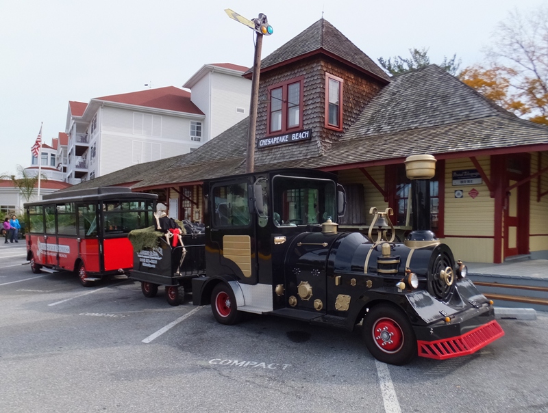
The museum has very limited hours but we were fortunate to arrive when they were open. Here we saw photos and read about the train that used to take people between Washington, D.C. and Chesapeake Beach from 1898 (some sources say later) to 1935. We knew about this trail for quite awhile because we've hiked on rail trail sections of it at Jug Bay Wetlands Sanctuary - Proper and kayaked past a remnant of the bridge on the Patuxent River which was once used by this train line. At the museum, I purchased a booklet titled Fossils of Calvert Cliffs by Wallace L. Ashby and published by the Calvert Marine Museum Press. This will come in handy to identify the fossils I've found in Maryland. From the museum parking lot, we walked to the Chesapeake Beach Railway Trail where we explored every nook and cranny. This trail is largely comprised of boardwalk which makes it unusual. It is a great way to see the wetlands along Fishing Creek without actually having to get wet. This was Norma's first time seeing this area but I had been here a few weeks prior and seen much of it via SUP. See my September 12, 2016 blog. I think most of the Railway Trail was boardwalk but some was concrete that was stamped to look like brick. 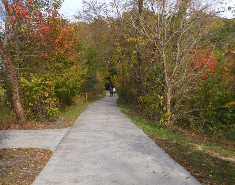
At the west end, the boardwalk came to an abrupt end over Fishing Creek. Across, we could see where the railroad continued. The way the boardwalk ended, it seemed like they were planning to continue it at some point. I later found out that is indeed their intention. When developed, the trail will be owned, managed, and maintained by M-NCPPC. It will cross three counties in Southern Maryland, with 28 miles of greenway corridor through Calvert and Anne Arundel counties, and 11 miles through Prince George's County. - from Wikipedia - Chesapeake Beach Rail Trail 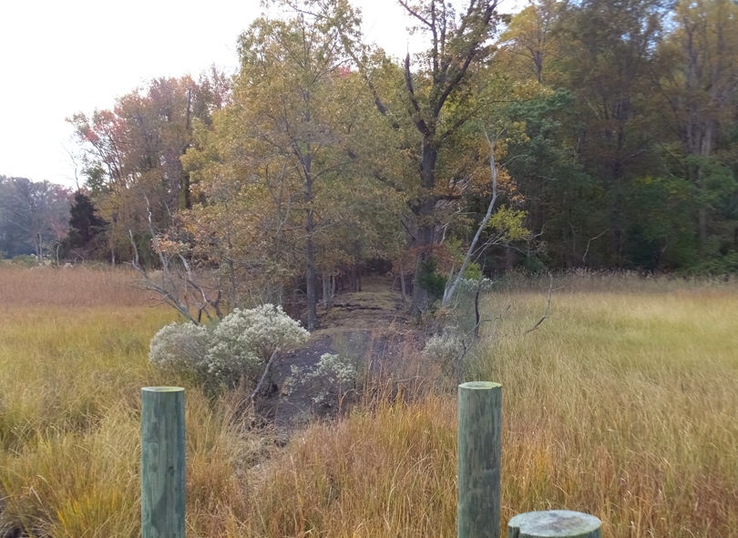
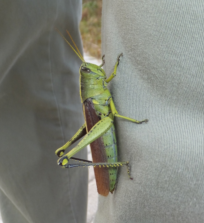
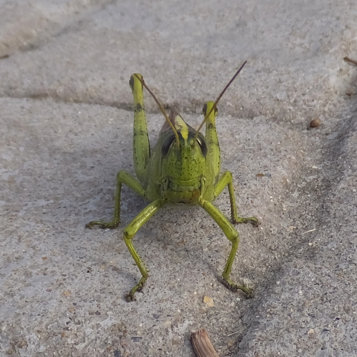
There were quite a few large grasshoppers out. One flew onto Norma's leg. The day started out overcast but eventually the sun came out to illuminate Norma's lovely face. 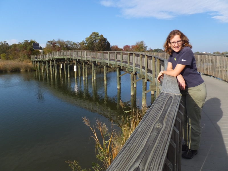
I'm guessing we walked 3.5 to four miles doing an out-and-back route on the trail. Next, we drove to the adjacent town of North Beach where we shared a grilled cheese sandwich at a food truck and then purchased yogurt, cheese, and bread at a farm fresh store. With a little food in our bellies, we drove back to Chesapeake Beach and walked on the Boardwalk along the Chesapeake Bay to Bayfront Park/Boardwalk Park/Brownie's Beach. I list the three together because I don't know where one ends and the other begins. There we looked for shark teeth (along with a bunch of other people). We didn't find any. I think there are a lot of steak and seafood places in Chesapeake Beach and North Beach but that wasn't what Norma was craving. Since this was her day, we drove to Laurel and ate at Curry Leaf. Going back to the original question, I think today's adventure was a walk rather than a hike. We did get out in nature over wetlands and wooded trails but I think we only covered about five miles total and we never got that far from civilization. The answer is really up to the individual. |
|
Back on December 31, 2010, New Years Eve, Norma and I took Verena to hike Old Rag. It must have left quite an impression on her. She left the country for a few years and recently returned. There is no shortage of places to hike in the Shenandoah area but rather than explore someplace new, she instead requested that we return to Old Rag. So today, we did just that.
On the drive up, we saw what at first I thought was a statue...but it wasn't. It was a man on a horse holding an American flag. He stood proudly on the elevated median strip of the highway outside of Warrenton. He was quite a sight. We drove through Sperryville and passed Cooter's in the Country where I expected to see the "General Lee," a famous muscle car from the The Dukes of Hazzard television show. Norma and I saw it with Janett less than a month ago on October 15, 2016. But today it was all gone. The car was not there and Cooter's signage was no more. All that remained was a vacant building. Cooter's in the Country will close at the end of October [2016] because of parking problems on a field zoned for agriculture. - from "NBC29 - Cooter's in the Country to Close After Battle With County" (a broken link as of 2020) The three of us arrived at the big parking lot in the late morning. It was quite full and we had to park in a spot probably not originally intended for parking. Maybe it had something to do with the fact that there was no fee, being as it is a federal holiday. We walked a short distance to the Ridge Trail trailhead then started hiking. I ventured off at my own pace, which was slightly faster than most people. Something about those hills get me moving in forced march mode. At the first big rock, I waited for Norma and Verena. Having gotten the fast stuff out of my system, I did the rest of the hike with them. We took a short break at a big overlook that gave us a nice view to the east. The Shenandoah area was in full autumn glory. 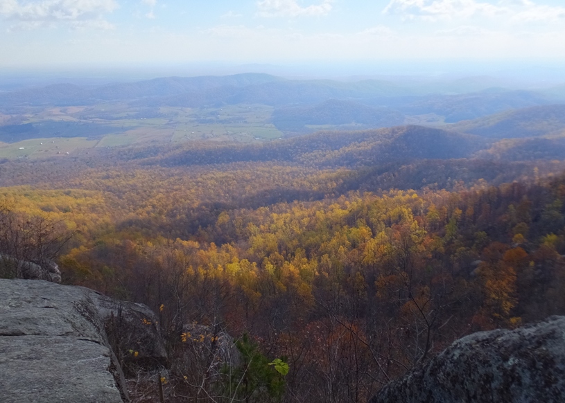
Looking southwest, I saw people off in the distance making their way up the rocky ridgeline. Can you see them in the distance? Soon we would be there too. 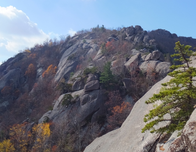
It didn't take long before all foot traffic stopped. Several hikers formed a queue, waiting to get through a narrow passageway. We were stopped for about 20 minutes. 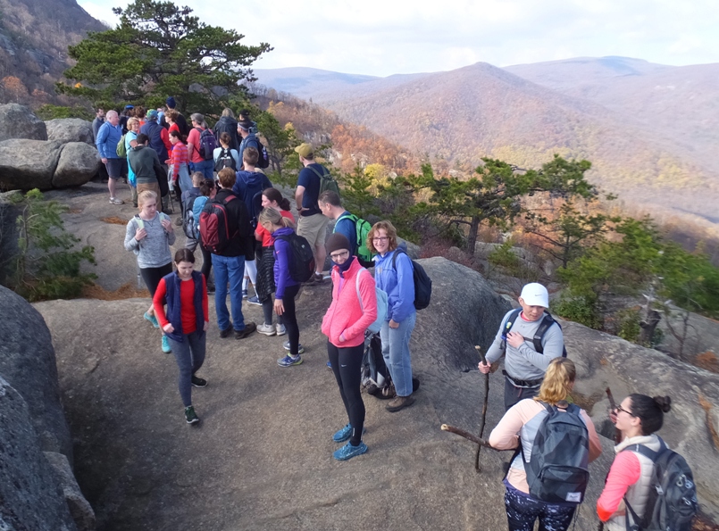
I hoped that after this bottleneck, we could continue at our own pace but instead, we had lots of stops where we waited for the folks in front of us to get over, under, or around obstacles. But everyone was quite friendly and patient. After a good bit of rock scrambling, hikers started to spread out a bit. Still, it was quite crowded. It is a fun and vigorous hike, but not exactly a peaceful one. At an open sunny rock on the south side (out of the wind), we stopped for lunch. 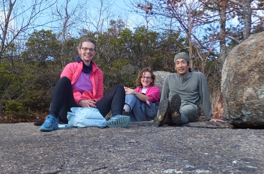
Resuming, we had some nice views looking north from the near treeless rideline. Verena took a picture of Norma and me at what we initially thought was the same rock we stopped at when we hiked Old Rag before (see December 31, 2010 photo). But looking now to compare, I'm pretty sure they are not the same place. 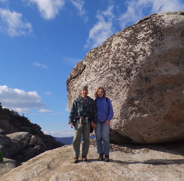
We had a nice view looking west. 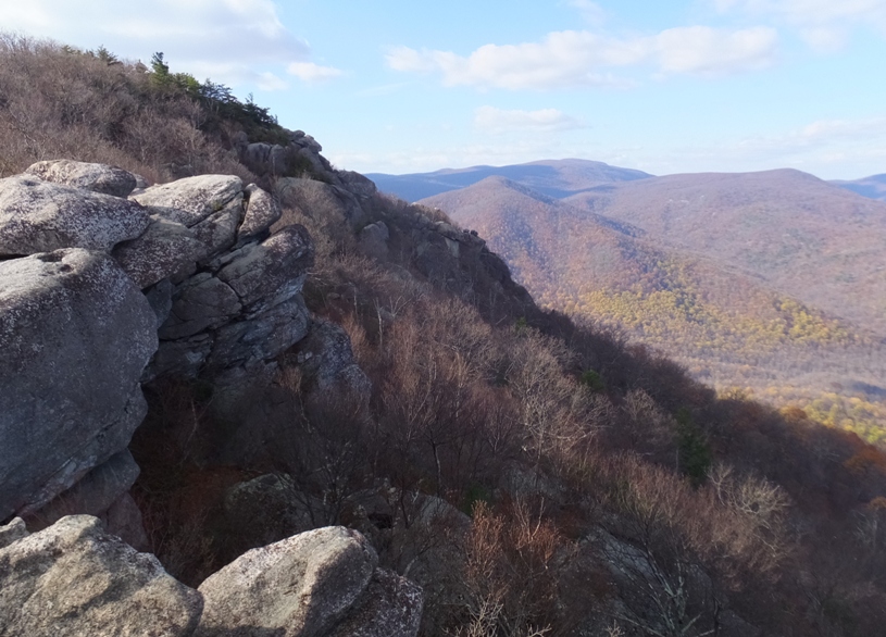
A little later, we arrived at the 3,291-foot, windy summit. 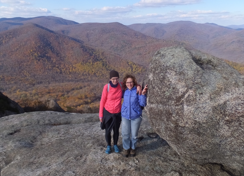
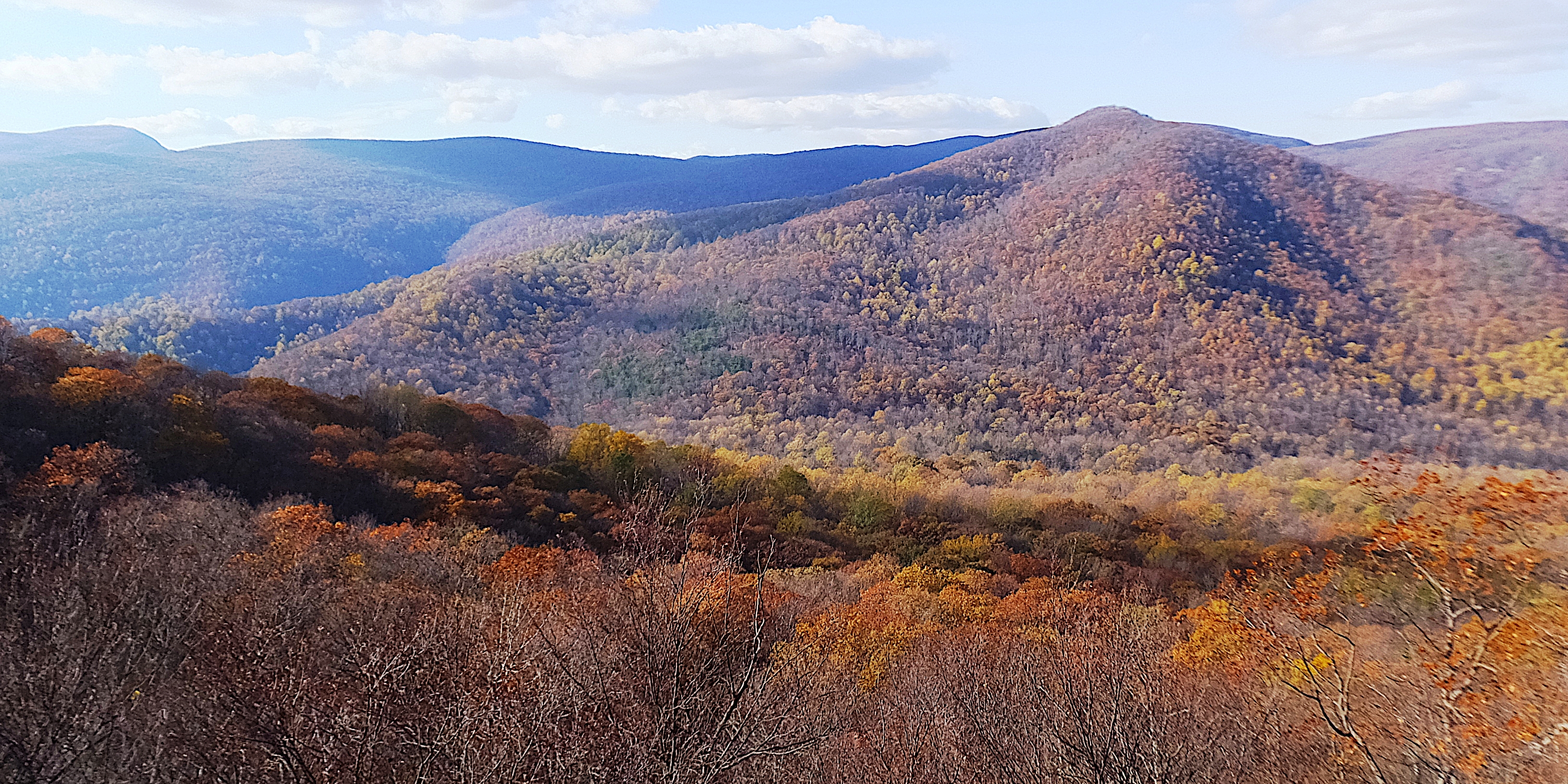
After that, it was all downhill and pretty easy. Moving considerably faster on the Saddle Trail, groups started to spread out which was good. At our last vista, we stopped for one final view of the fall colors, shown in the cover photo and below. 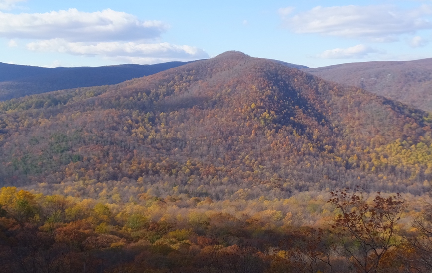
The least interesting and fastest part of the hike was on the Weakley Hollow Fire Road. Back when I first hiked this trail, I saw bears but now with so many more people, I expect bears would prefer to stay far away. After a little over six hours, we completed our 9.7-mile hike. We started driving back with the sun now low in the sky. As a tired passenger, I fell asleep, only to be woken suddenly by Norma who yelled that the fellow we saw earlier on the horse was still there! We pulled over and spoke to him. His name is Forrest Whorton and he's been doing this every Veterans Day for the last 22 years! He started his day 0600 with his horse, Zeke. This "salute" was his way of thanking veterans for their service. 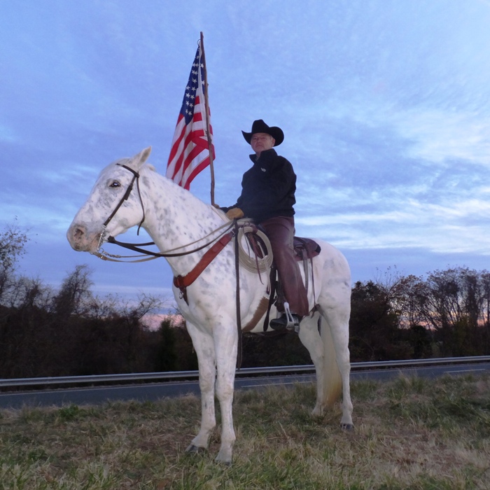
I had been feeling a little sad over the last few days because Donald Trump won the election. A lot of people are uncertain as to what will lay in store for our country over the next four years. I know Trump is what the majority of electorates chose but I don't feel he reflects my own personal American values. I expect some people might have said the same had Hillary Clinton won. Needless to say, I haven't been feeling quite as patriotic as I typically do. But after seeing Mr. Whorton carrying Old Glory, I felt a sense of American pride. He thanked me for my service and that meant a lot to me. Verena, Norma, and I made one final stop at Frost Diner. It was this same place that Norma and I ate at back on June 4, 2006, just five days after we first met. The food was great and so were the memories. Verena worked up quite an appetite. Being from Germany, Norma and I had her try some of our very American dishes: catfish, grits, and scrapple. She liked them all. After eating a plate full of wings, Verena still had room so she ordered and then scarfed down a very large blueberry pancake. I'll have to get her and Janett to compete in an eating contest someday. |